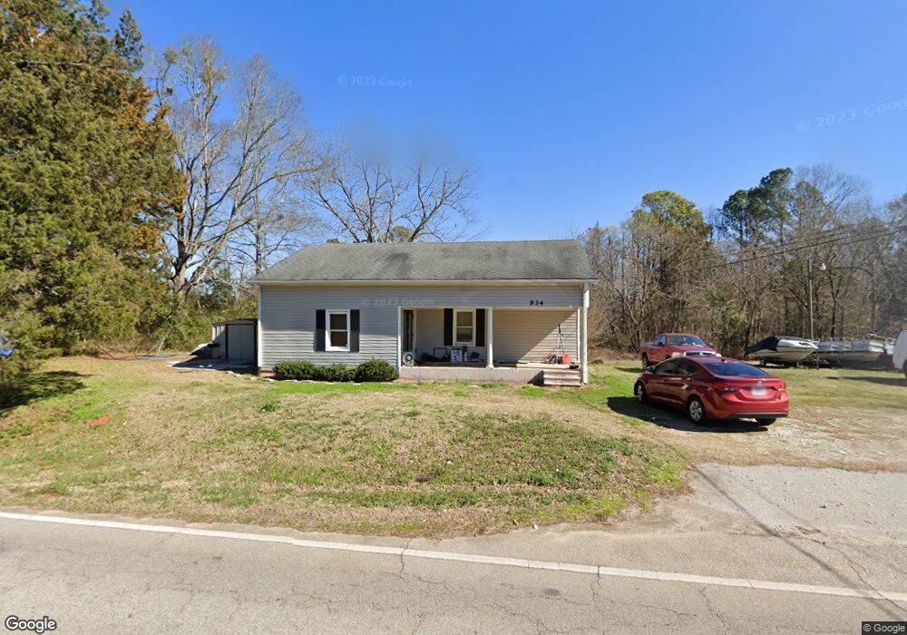
934 W Hightower Trail Social Circle, GA 30025
Estimated Value: $139,000 - $228,443
--
Bed
1
Bath
1,249
Sq Ft
$149/Sq Ft
Est. Value
About This Home
This home is located at 934 W Hightower Trail, Social Circle, GA 30025 and is currently estimated at $185,611, approximately $148 per square foot. 934 W Hightower Trail is a home with nearby schools including Social Circle Primary School, Social Circle Elementary School, and Social Circle Middle School.
Ownership History
Date
Name
Owned For
Owner Type
Purchase Details
Closed on
Feb 10, 2025
Sold by
Poole Benjamin M
Bought by
19 Investors Llc
Current Estimated Value
Purchase Details
Closed on
Jul 17, 2023
Sold by
Poole Benjamin Michael
Bought by
Hcc Farm Llc
Purchase Details
Closed on
Jul 11, 2006
Sold by
Dupree Celeste S
Bought by
Mayfield Larry H
Home Financials for this Owner
Home Financials are based on the most recent Mortgage that was taken out on this home.
Original Mortgage
$53,075
Interest Rate
6.6%
Mortgage Type
New Conventional
Purchase Details
Closed on
Oct 6, 1998
Sold by
Knox Thomas
Bought by
Dupree Celest S
Create a Home Valuation Report for This Property
The Home Valuation Report is an in-depth analysis detailing your home's value as well as a comparison with similar homes in the area
Home Values in the Area
Average Home Value in this Area
Purchase History
| Date | Buyer | Sale Price | Title Company |
|---|---|---|---|
| 19 Investors Llc | $180,000 | -- | |
| Poole Benjamin M | -- | -- | |
| Hcc Farm Llc | -- | -- | |
| Mayfield Larry H | $50,900 | -- | |
| Dupree Celest S | $36,001 | -- |
Source: Public Records
Mortgage History
| Date | Status | Borrower | Loan Amount |
|---|---|---|---|
| Previous Owner | Mayfield Larry H | $53,075 |
Source: Public Records
Tax History Compared to Growth
Tax History
| Year | Tax Paid | Tax Assessment Tax Assessment Total Assessment is a certain percentage of the fair market value that is determined by local assessors to be the total taxable value of land and additions on the property. | Land | Improvement |
|---|---|---|---|---|
| 2024 | $1,293 | $36,360 | $15,040 | $21,320 |
| 2023 | $1,319 | $36,480 | $15,040 | $21,440 |
| 2022 | $353 | $33,880 | $13,680 | $20,200 |
| 2021 | $346 | $33,200 | $13,680 | $19,520 |
| 2020 | $351 | $32,880 | $13,680 | $19,200 |
| 2019 | $334 | $29,160 | $13,680 | $15,480 |
| 2018 | $318 | $29,160 | $13,680 | $15,480 |
| 2017 | $1,302 | $31,160 | $14,200 | $16,960 |
| 2016 | $326 | $28,760 | $14,200 | $14,560 |
| 2015 | $323 | $28,760 | $14,200 | $14,560 |
| 2014 | $345 | $29,080 | $0 | $0 |
Source: Public Records
Map
Nearby Homes
- 433 Clover Dr
- 355 Conner Ct
- 443 Windsong Ln
- 1244 Morrow Dr
- 2049 Emily Dr
- 215 Park Place Trail
- 967 Park Place St
- 210 Park Place Trail
- The Trenton Plan at Town Park
- The Scottsdale Plan at Town Park
- 226 Rogue Rd
- 939 Park Place St
- 318 Richmond Dr
- 1007 Towne Cir
- 695 Park Place Way
- 413 Crossroads Dr
- 690 Park Place Way
- 381 Crossroads Dr
- 310 Crossroads Dr
- 357 W Hightower Trail
- 916 W Hightower Trail
- 939 W Hightower Trail
- 917 W Hightower Trail
- 903 W Hightower Trail
- 1046 W Hightower Trail
- 217 Clover Dr
- 518 Lindsey Way
- 524 Lindsey Way
- 534 Lindsey Way
- 512 Lindsey Way
- 549 Lindsey Way Unit LOT 8
- 549 Lindsey Way Unit 8
- 549 Lindsey Way
- 146 Windsong Dr
- 154 Windsong Dr
- 544 Lindsey Way
- 564 Lindsey Way
- 105 Windsong Dr
- 506 Lindsey Way
- 325 Clover Dr