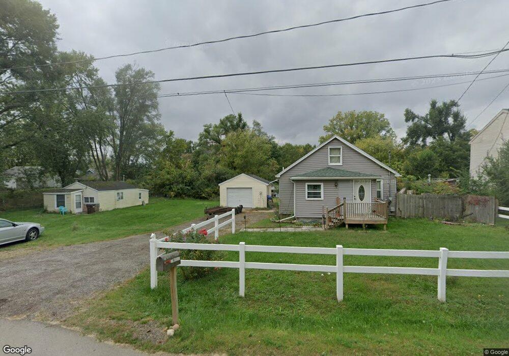
934 Watts St Jackson, MI 49203
Estimated Value: $100,000
3
Beds
1
Bath
780
Sq Ft
$128/Sq Ft
Est. Value
About This Home
This home is located at 934 Watts St, Jackson, MI 49203 and is currently priced at $100,000, approximately $128 per square foot. 934 Watts St is a home located in Jackson County with nearby schools including Middle School at Parkside, Jackson High School, and Francis Street Primary School.
Ownership History
Date
Name
Owned For
Owner Type
Purchase Details
Closed on
Nov 28, 2014
Sold by
Niceswander Rick L
Bought by
Niceswander Shirley J and Binschus Todd A
Current Estimated Value
Purchase Details
Closed on
Jun 20, 2013
Sold by
Niceswander Shirley J
Bought by
Niceswander Rick Lee
Purchase Details
Closed on
Nov 6, 2000
Sold by
First National Acceptance Company
Bought by
Niceswander Rick L and Niceswander Shirley J
Purchase Details
Closed on
Apr 23, 1998
Sold by
Niceswander Rick L and Niceswander Shirley
Create a Home Valuation Report for This Property
The Home Valuation Report is an in-depth analysis detailing your home's value as well as a comparison with similar homes in the area
Home Values in the Area
Average Home Value in this Area
Purchase History
| Date | Buyer | Sale Price | Title Company |
|---|---|---|---|
| Niceswander Shirley J | $500 | None Available | |
| Niceswander Rick Lee | -- | None Available | |
| Niceswander Rick L | $21,000 | -- | |
| -- | -- | -- |
Source: Public Records
Mortgage History
| Date | Status | Borrower | Loan Amount |
|---|---|---|---|
| Closed | Niceswander Shirley J | $0 |
Source: Public Records
Tax History
| Year | Tax Paid | Tax Assessment Tax Assessment Total Assessment is a certain percentage of the fair market value that is determined by local assessors to be the total taxable value of land and additions on the property. | Land | Improvement |
|---|---|---|---|---|
| 2024 | $470 | $0 | $0 | $0 |
| 2023 | $470 | $26,900 | $0 | $0 |
| 2022 | $752 | $23,700 | $0 | $0 |
| 2021 | $749 | $23,900 | $0 | $0 |
| 2020 | $741 | $23,000 | $0 | $0 |
| 2019 | $735 | $21,100 | $0 | $0 |
| 2018 | $707 | $19,600 | $0 | $0 |
| 2017 | $715 | $19,000 | $0 | $0 |
| 2016 | $349 | $18,300 | $18,300 | $0 |
| 2015 | $852 | $16,900 | $16,900 | $0 |
| 2014 | $852 | $16,700 | $16,700 | $0 |
| 2013 | -- | $16,700 | $16,700 | $0 |
Source: Public Records
Map
Nearby Homes
- 2718 Page Ave
- 900 S Roberts St
- Vl Watts St
- 1156 Knapp St
- 781 Tomlinson St
- 1139 S Dettman Rd
- 509 S Gorham St
- 317 Lockwood St
- 111 N Forbes St
- 106 N Dwight St
- O Research Dr
- 1506 Pringle Ave
- 127 Bates St
- 134 N Gorham St
- 131 Willow St
- 209 N Pleasant St
- 149 Mantle Ave
- 153 Mantle Ave
- 1915 E Ganson St
- 213 N Gorham St
Your Personal Tour Guide
Ask me questions while you tour the home.