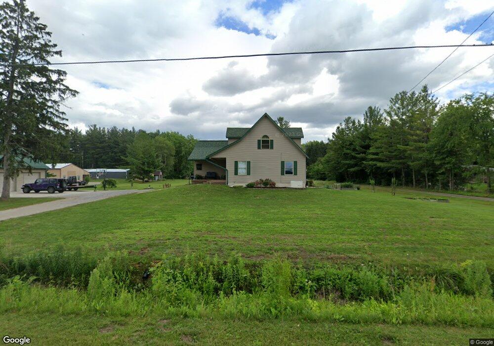
9340 Webster Rd Freeland, MI 48623
Estimated Value: $327,427 - $346,000
3
Beds
2
Baths
1,684
Sq Ft
$200/Sq Ft
Est. Value
About This Home
This home is located at 9340 Webster Rd, Freeland, MI 48623 and is currently estimated at $337,607, approximately $200 per square foot. 9340 Webster Rd is a home located in Saginaw County with nearby schools including Freeland Learning Center, Freeland Elementary School, and Freeland Middle/High School.
Ownership History
Date
Name
Owned For
Owner Type
Purchase Details
Closed on
Jul 4, 2024
Sold by
Treadway Anthony K and Treadway Kari
Bought by
Anthony Kyle Treadway And Kari Ellen Treadway and Treadway
Current Estimated Value
Purchase Details
Closed on
Jan 2, 2014
Sold by
Smillie Michael P
Bought by
Treadway Anthony K and Treadway Kari
Purchase Details
Closed on
Dec 27, 2013
Sold by
Kabat Timothy D and Kabat Patricia L
Bought by
Smillie Michael P
Purchase Details
Closed on
May 29, 2013
Sold by
Chemical Bank
Bought by
Smillie Michael P
Purchase Details
Closed on
Oct 26, 2012
Sold by
Kappen Brenda and Deputy Sheriff In And For Sagi
Bought by
Chemical Bank
Create a Home Valuation Report for This Property
The Home Valuation Report is an in-depth analysis detailing your home's value as well as a comparison with similar homes in the area
Home Values in the Area
Average Home Value in this Area
Purchase History
| Date | Buyer | Sale Price | Title Company |
|---|---|---|---|
| Anthony Kyle Treadway And Kari Ellen Treadway | -- | None Listed On Document | |
| Treadway Anthony K | $133,000 | Homeland Title Services Llc | |
| Smillie Michael P | -- | Homeland Title Services Llc | |
| Smillie Michael P | $60,000 | Cfc Title Services Inc | |
| Chemical Bank | $64,000 | -- |
Source: Public Records
Tax History Compared to Growth
Tax History
| Year | Tax Paid | Tax Assessment Tax Assessment Total Assessment is a certain percentage of the fair market value that is determined by local assessors to be the total taxable value of land and additions on the property. | Land | Improvement |
|---|---|---|---|---|
| 2025 | $3,796 | $143,300 | $0 | $0 |
| 2024 | $1,089 | $127,400 | $0 | $0 |
| 2023 | $1,038 | $111,800 | $0 | $0 |
| 2022 | $3,119 | $100,100 | $0 | $0 |
| 2021 | $2,848 | $92,000 | $0 | $0 |
| 2020 | $2,759 | $86,100 | $0 | $0 |
| 2019 | $2,687 | $84,800 | $0 | $0 |
| 2018 | $912 | $87,100 | $0 | $0 |
| 2017 | $2,408 | $82,900 | $0 | $0 |
| 2016 | $2,385 | $80,700 | $0 | $0 |
| 2014 | -- | $76,100 | $0 | $67,800 |
| 2013 | -- | $88,900 | $0 | $0 |
Source: Public Records
Map
Nearby Homes
- 10585 Prairie View Ct
- 9924 Garner Ln
- 8599 Ashland Place
- 0 Foxtail Trail Unit 50182332
- 8657 Foxtail Trail
- 8630 Foxtail Trail
- 8535 Summer Ridge Dr
- 8421 Waxwing Dr
- 8442 Cottonwood Dr
- 8884 Copper Ct
- 10399 Webster Rd
- 8483 N River Rock River Rock Unit 8487
- 8981 Highland Dr
- 5 Willow Point Dr
- 10123 Hawk Dr
- 9100 Brook Hollow Ln
- 9160 Brook Hollow Ln
- 315 S 2nd St
- 1040 Wheelock St
- 10832 Carter Rd
- 9300 Webster Rd
- 9396 Webster Rd
- 9390 Webster Rd
- 9393 Webster Rd
- 9280 Webster Rd
- 9328 Webster Rd
- 9445 Webster Rd
- 9215 Webster Rd Unit 1 acre
- 9215 Webster Rd Unit V/L 1 acre
- 9215 Webster Rd Unit V/L 1.5 acre
- 9215 Webster Rd
- 9989 Laduke Rd
- 9240 Webster Rd
- 9955 Laduke Rd
- 9955 Laduke Rd
- 9929 Laduke Rd
- 9893 Laduke Rd
- V/L Webster
- 9530 Webster Rd
- 9497 Webster Rd