9341 Currahee Cir Toccoa, GA 30577
Estimated Value: $245,000 - $411,000
3
Beds
3
Baths
2,699
Sq Ft
$130/Sq Ft
Est. Value
About This Home
This home is located at 9341 Currahee Cir, Toccoa, GA 30577 and is currently estimated at $350,417, approximately $129 per square foot. 9341 Currahee Cir is a home located in Stephens County with nearby schools including Stephens County High School.
Ownership History
Date
Name
Owned For
Owner Type
Purchase Details
Closed on
Jan 28, 2018
Sold by
Wilbanks Timothy Dale
Bought by
Wilbanks Timothy Dale and Wilbanks Stephanie
Current Estimated Value
Home Financials for this Owner
Home Financials are based on the most recent Mortgage that was taken out on this home.
Original Mortgage
$5,000
Outstanding Balance
$4,235
Interest Rate
3.99%
Mortgage Type
New Conventional
Estimated Equity
$346,182
Purchase Details
Closed on
Aug 1, 1998
Bought by
Wilbanks Timothy Dale
Purchase Details
Closed on
May 1, 1989
Bought by
<Buyer Info Not Present>
Create a Home Valuation Report for This Property
The Home Valuation Report is an in-depth analysis detailing your home's value as well as a comparison with similar homes in the area
Home Values in the Area
Average Home Value in this Area
Purchase History
| Date | Buyer | Sale Price | Title Company |
|---|---|---|---|
| Wilbanks Timothy Dale | -- | -- | |
| Wilbanks Timothy Dale | -- | -- | |
| <Buyer Info Not Present> | -- | -- |
Source: Public Records
Mortgage History
| Date | Status | Borrower | Loan Amount |
|---|---|---|---|
| Open | Wilbanks Timothy Dale | $5,000 |
Source: Public Records
Tax History Compared to Growth
Tax History
| Year | Tax Paid | Tax Assessment Tax Assessment Total Assessment is a certain percentage of the fair market value that is determined by local assessors to be the total taxable value of land and additions on the property. | Land | Improvement |
|---|---|---|---|---|
| 2024 | $2,538 | $85,357 | $4,108 | $81,249 |
| 2023 | $2,310 | $79,600 | $4,108 | $75,492 |
| 2022 | $2,211 | $76,262 | $4,108 | $72,154 |
| 2021 | $2,188 | $71,965 | $4,108 | $67,857 |
| 2020 | $2,199 | $71,647 | $4,108 | $67,539 |
| 2019 | $2,216 | $71,884 | $4,108 | $67,776 |
| 2018 | $2,216 | $71,884 | $4,108 | $67,776 |
| 2017 | $2,251 | $71,884 | $4,108 | $67,776 |
| 2016 | $2,216 | $71,884 | $4,108 | $67,776 |
| 2015 | $2,307 | $71,468 | $4,108 | $67,360 |
| 2014 | $2,345 | $71,468 | $4,108 | $67,360 |
| 2013 | -- | $71,468 | $4,108 | $67,360 |
Source: Public Records
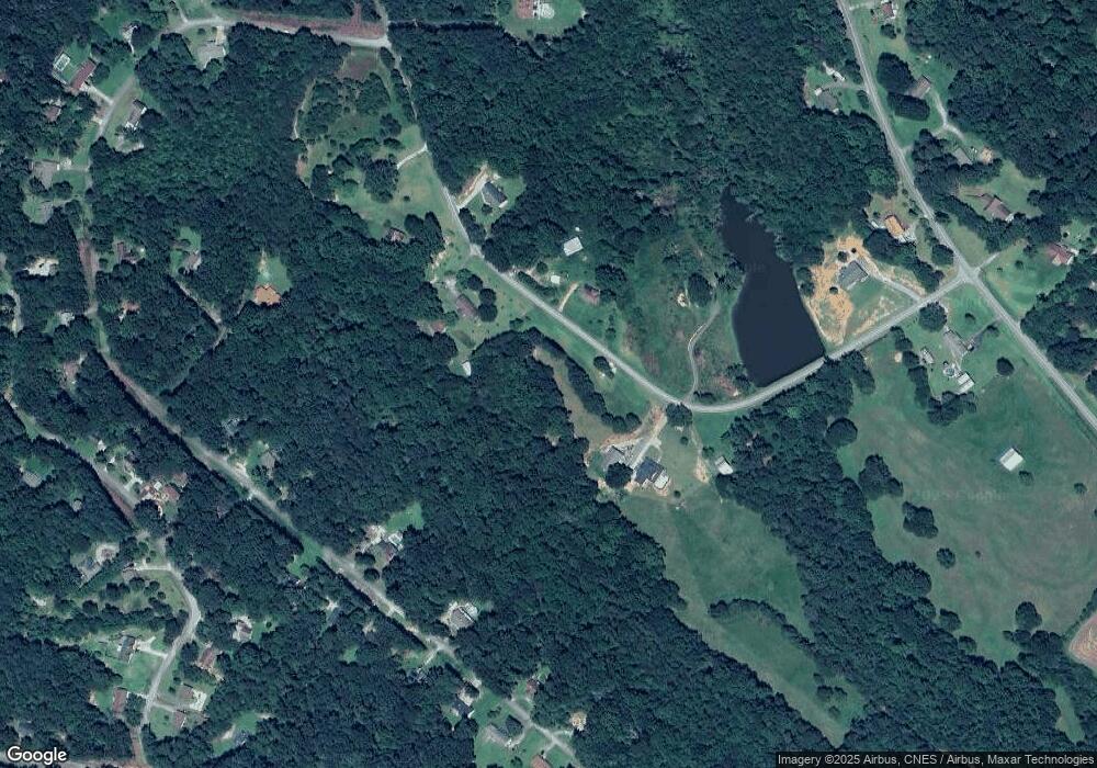
Map
Nearby Homes
- 9369 Sherwood Ct
- 266 Cawthon Rd
- 4 Piedmont
- 16 Terri Ln
- 0 Highway 184 Unit 7606848
- 0 Highway 184 Unit 10547296
- 1662 Carnes Creek Rd
- 571 N Currahee Ln
- 1387 Mize Rd
- 97 Hillside Dr
- 151 Richardson St
- 184 Scott Cir
- 1037 S Pond St
- 1009 S Pond St
- 943 S Pond St
- 48 Owen St
- 98 Wood St
- 574 S Sage St
- 192 S Pine St
- 11 Cloverhurst Dr
- 9343 Currahee Cir
- 238 Currahee Cir
- 289 Currahee Cir
- 398 Currahee Cir
- 99 Sherwood St
- 98 Sherwood St
- 437 Currahee Cir
- 0 Currahee Cir Unit 7182093
- 0 Currahee Cir Unit 3163710
- 0 Currahee Cir
- 193 Sherwood St
- 152 Sherwood St
- 116 Sherwood St
- 193 Currahee Cir
- 67 Sherwood Ct
- 176 Sherwood St
- 67 Sherwood Ct
- 77 Sherwood Ct
- 275 Sherwood St
- 188 Sherwood St