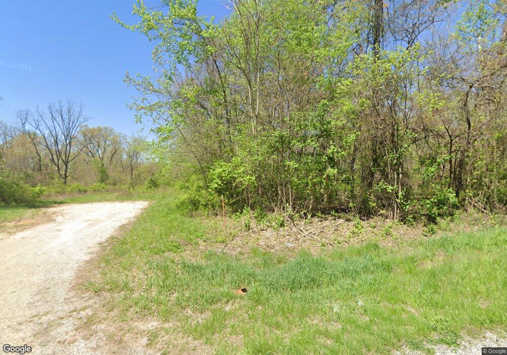
9341 N State Route 78 Caldwell, OH 43724
Estimated Value: $135,000 - $178,097
4
Beds
2
Baths
1,680
Sq Ft
$93/Sq Ft
Est. Value
About This Home
This home is located at 9341 N State Route 78, Caldwell, OH 43724 and is currently estimated at $156,549, approximately $93 per square foot. 9341 N State Route 78 is a home located in Morgan County with nearby schools including Morgan High School.
Ownership History
Date
Name
Owned For
Owner Type
Purchase Details
Closed on
Aug 27, 2020
Sold by
Clark Craig A and Clark Billie J
Bought by
Clark Craig A and Clar Billie J
Current Estimated Value
Purchase Details
Closed on
Aug 6, 2020
Sold by
Conley Kathryn S
Bought by
Clark Craig A and Clark Billie J
Purchase Details
Closed on
Dec 13, 2001
Sold by
Conley Homer
Bought by
Conley Kathryn S
Purchase Details
Closed on
Apr 16, 1993
Sold by
Conley Homer and Conley Helen M
Bought by
Conley Homer
Create a Home Valuation Report for This Property
The Home Valuation Report is an in-depth analysis detailing your home's value as well as a comparison with similar homes in the area
Home Values in the Area
Average Home Value in this Area
Purchase History
| Date | Buyer | Sale Price | Title Company |
|---|---|---|---|
| Clark Craig A | -- | None Available | |
| Clark Craig A | $75,810 | None Available | |
| Conley Kathryn S | -- | -- | |
| Conley Homer | -- | -- |
Source: Public Records
Tax History Compared to Growth
Tax History
| Year | Tax Paid | Tax Assessment Tax Assessment Total Assessment is a certain percentage of the fair market value that is determined by local assessors to be the total taxable value of land and additions on the property. | Land | Improvement |
|---|---|---|---|---|
| 2024 | $1,077 | $32,220 | $12,590 | $19,630 |
| 2023 | $1,077 | $24,940 | $10,260 | $14,680 |
| 2022 | $829 | $24,940 | $10,260 | $14,680 |
| 2021 | $840 | $24,940 | $10,260 | $14,680 |
| 2019 | $475 | $22,510 | $9,160 | $13,350 |
| 2018 | $458 | $22,510 | $9,160 | $13,350 |
| 2017 | $378 | $19,866 | $6,720 | $13,146 |
| 2016 | $380 | $19,866 | $6,720 | $13,146 |
| 2015 | $379 | $19,866 | $6,720 | $13,146 |
| 2014 | $392 | $19,866 | $6,720 | $13,146 |
| 2013 | $391 | $19,866 | $6,720 | $13,146 |
Source: Public Records
Map
Nearby Homes
- 6550 N State Route 78 NE
- 10885 Oak Grove Rd
- 14040 T Ridge
- 15171 McConnellsville Rd
- 0 Ogles Ridge Rd Unit 11570286
- 14376 Belle Valley Rd
- 2680 Mummey Rd
- 14040 T-Ridge Rd
- 11605 McConnelsville Rd
- 16878 Bronze Heights Ln
- 49197 John ToMcHo Rd
- 45728 Old State Route 21
- 45330 Maple View Cir
- 44250 Fairground Rd
- 814 Main St
- 45209 Sarahsville Rd
- 625 Main St
- 818 Railroad St
- 817 Walnut St
- 849 Walnut St
