9342 Fox Rd Greens Fork, IN 47345
Estimated Value: $220,093 - $310,000
3
Beds
2
Baths
2,800
Sq Ft
$93/Sq Ft
Est. Value
About This Home
This home is located at 9342 Fox Rd, Greens Fork, IN 47345 and is currently estimated at $260,523, approximately $93 per square foot. 9342 Fox Rd is a home located in Wayne County with nearby schools including Hagerstown Elementary School, Hagerstown Junior/Senior High School, and Sugar Grove School.
Ownership History
Date
Name
Owned For
Owner Type
Purchase Details
Closed on
Feb 10, 2006
Sold by
Bond Thomas Allan and Bond Susie Joanne
Bought by
Doerstler Michael and Doerstler Marvin
Current Estimated Value
Home Financials for this Owner
Home Financials are based on the most recent Mortgage that was taken out on this home.
Original Mortgage
$17,500
Outstanding Balance
$9,852
Interest Rate
6.2%
Mortgage Type
Future Advance Clause Open End Mortgage
Estimated Equity
$250,671
Create a Home Valuation Report for This Property
The Home Valuation Report is an in-depth analysis detailing your home's value as well as a comparison with similar homes in the area
Purchase History
| Date | Buyer | Sale Price | Title Company |
|---|---|---|---|
| Doerstler Michael | -- | -- |
Source: Public Records
Mortgage History
| Date | Status | Borrower | Loan Amount |
|---|---|---|---|
| Open | Doerstler Michael | $17,500 |
Source: Public Records
Tax History
| Year | Tax Paid | Tax Assessment Tax Assessment Total Assessment is a certain percentage of the fair market value that is determined by local assessors to be the total taxable value of land and additions on the property. | Land | Improvement |
|---|---|---|---|---|
| 2024 | $1,240 | $148,200 | $15,300 | $132,900 |
| 2023 | $11 | $135,700 | $14,100 | $121,600 |
| 2022 | $1,205 | $137,100 | $14,100 | $123,000 |
| 2021 | $1,157 | $126,500 | $14,100 | $112,400 |
| 2020 | $1,068 | $122,500 | $13,900 | $108,600 |
| 2019 | $985 | $120,900 | $13,900 | $107,000 |
| 2018 | $970 | $120,900 | $13,900 | $107,000 |
| 2017 | $917 | $119,800 | $13,900 | $105,900 |
| 2016 | $857 | $116,500 | $13,400 | $103,100 |
| 2014 | $677 | $106,100 | $13,400 | $92,700 |
| 2013 | $677 | $102,800 | $13,400 | $89,400 |
Source: Public Records
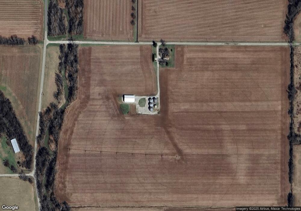
Map
Nearby Homes
- 10090 Smoky Row Rd
- 7840 N Jacksonburg Rd
- 6855 N Centerville Rd
- 274 4th St
- 5159 State Road 38
- 103 E Graceland Heights Dr
- 6049 U S 35
- 4113 N Round Barn Rd
- 615 N Sycamore St
- 8961 College Corner Rd
- 9004 Hidden Hills Dr
- 8171 George Early Rd
- 50 Grandview Ct
- 152 W College St
- 2620 Bryant Dr
- 207 College Corner Rd
- 10019 S 475 W
- 0 Ellen Ct
- Lot 29 Ellen Ct
- LOT 25 Ellen Ct
- 6013 Dingle Rd
- 5969 Dingle Rd
- 5901 Dingle Rd
- 5885 Dingle Rd
- 5869 Dingle Rd
- 8871 Fox Rd
- 9784 Fox Rd
- 8996 Smoky Row Rd
- 5737 Dingle Rd
- 8766 Fox Rd
- 9450 Smoky Row Rd
- 0 Smokey Row Unit 10013327
- 0 Smokey Row Unit 10013451
- 0 Smokey Row Unit 10018459
- 9600 Smoky Row Rd
- 8754 Fox Rd
- 6705 Dingle Rd
- 9219 Smoky Row Rd
- 9183 Smoky Row Rd
- 8989 Smoky Row Rd
Your Personal Tour Guide
Ask me questions while you tour the home.