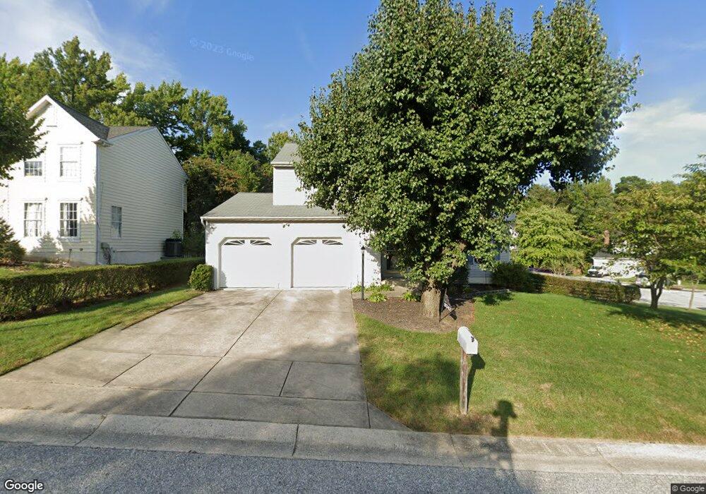
9342 Kings Grant Rd Laurel, MD 20723
North Laurel NeighborhoodEstimated Value: $534,808 - $659,000
Studio
3
Baths
1,876
Sq Ft
$315/Sq Ft
Est. Value
About This Home
This home is located at 9342 Kings Grant Rd, Laurel, MD 20723 and is currently estimated at $590,952, approximately $315 per square foot. 9342 Kings Grant Rd is a home located in Howard County with nearby schools including Forest Ridge Elementary School, Patuxent Valley Middle School, and Hammond High School.
Ownership History
Date
Name
Owned For
Owner Type
Purchase Details
Closed on
Jun 27, 1991
Sold by
Ryland Group Inc The
Bought by
Kornak James
Current Estimated Value
Home Financials for this Owner
Home Financials are based on the most recent Mortgage that was taken out on this home.
Original Mortgage
$147,800
Interest Rate
9.65%
Purchase Details
Closed on
Feb 13, 1991
Sold by
Security Development Corporation
Bought by
Ryland Group Inc The
Create a Home Valuation Report for This Property
The Home Valuation Report is an in-depth analysis detailing your home's value as well as a comparison with similar homes in the area
Home Values in the Area
Average Home Value in this Area
Purchase History
| Date | Buyer | Sale Price | Title Company |
|---|---|---|---|
| Kornak James | $184,800 | -- | |
| Ryland Group Inc The | $52,000 | -- |
Source: Public Records
Mortgage History
| Date | Status | Borrower | Loan Amount |
|---|---|---|---|
| Closed | Kornak James | $147,800 |
Source: Public Records
Tax History
| Year | Tax Paid | Tax Assessment Tax Assessment Total Assessment is a certain percentage of the fair market value that is determined by local assessors to be the total taxable value of land and additions on the property. | Land | Improvement |
|---|---|---|---|---|
| 2025 | $6,952 | $472,400 | $221,600 | $250,800 |
| 2024 | $6,952 | $448,467 | $0 | $0 |
| 2023 | $6,548 | $424,533 | $0 | $0 |
| 2022 | $6,213 | $400,600 | $211,600 | $189,000 |
| 2021 | $5,940 | $388,067 | $0 | $0 |
| 2020 | $5,940 | $375,533 | $0 | $0 |
| 2019 | $5,760 | $363,000 | $123,400 | $239,600 |
| 2018 | $5,343 | $354,533 | $0 | $0 |
| 2017 | $5,209 | $363,000 | $0 | $0 |
| 2016 | -- | $337,600 | $0 | $0 |
| 2015 | -- | $331,300 | $0 | $0 |
| 2014 | -- | $325,000 | $0 | $0 |
Source: Public Records
Map
Nearby Homes
- 9079 Manorwood Rd
- 9070 Moonshine Hollow
- 9508 Mellow Ct
- 9438 Loch Leven Ct
- 9405 Chippenham Dr
- 9075 N Laurel Rd Unit E
- 9390 Rock Ripple Ln
- 9342 Canterbury Riding
- 9640 Homestead Ct Unit F
- 9220 Bridle Path Ln Unit E
- 9695 Hitching Post Ln Unit H
- 9175 Hitching Post Ln Unit F
- 9711 Whiskey Run
- 8605 Jennifer Ct
- 9324 Meredith Ave
- 8759 Weathered Stone Way
- 3623 Duckhorn Way
- 3526 Tribeca Trail
- 8587 Crooked Tree Ln
- Lot 5 Cissell Ave
- 9346 Kings Grant Rd
- 9305 Knights Ct
- 9350 Kings Grant Rd
- 9363 Kings Grant Rd
- 9300 Knights Ct
- 9351 Kings Grant Rd
- 9309 Knights Ct
- 9316 Knights Ct
- 9367 Kings Grant Rd
- 9304 Knights Ct
- 9347 Kings Grant Rd
- 9354 Kings Grant Rd
- 9308 Knights Ct
- 9334 Kings Grant Rd
- 9355 Kings Grant Rd
- 9359 Kings Grant Rd
- 9312 Knights Ct
- 9386 Woodsong Ct
- 9313 Knights Ct
- 9343 Kings Grant Rd
Your Personal Tour Guide
Ask me questions while you tour the home.