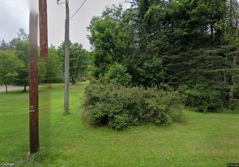
9342 Savage Rd Holland, NY 14080
Estimated Value: $442,000 - $788,000
4
Beds
4
Baths
2,810
Sq Ft
$236/Sq Ft
Est. Value
About This Home
This home is located at 9342 Savage Rd, Holland, NY 14080 and is currently estimated at $663,366, approximately $236 per square foot. 9342 Savage Rd is a home located in Erie County with nearby schools including Harold O. Brumsted Elementary School, Holland Middle School, and Holland High School.
Ownership History
Date
Name
Owned For
Owner Type
Purchase Details
Closed on
Jul 17, 2017
Sold by
Bewll William and Bewll Carol
Bought by
Coling Kirby J
Current Estimated Value
Home Financials for this Owner
Home Financials are based on the most recent Mortgage that was taken out on this home.
Original Mortgage
$288,000
Outstanding Balance
$239,345
Interest Rate
3.9%
Mortgage Type
New Conventional
Estimated Equity
$424,021
Purchase Details
Closed on
Jan 5, 1995
Sold by
Taylor Frank
Bought by
Moreno Prescilla O
Create a Home Valuation Report for This Property
The Home Valuation Report is an in-depth analysis detailing your home's value as well as a comparison with similar homes in the area
Home Values in the Area
Average Home Value in this Area
Purchase History
| Date | Buyer | Sale Price | Title Company |
|---|---|---|---|
| Coling Kirby J | $360,000 | None Available | |
| Moreno Prescilla O | $18,000 | -- |
Source: Public Records
Mortgage History
| Date | Status | Borrower | Loan Amount |
|---|---|---|---|
| Open | Coling Kirby J | $288,000 |
Source: Public Records
Tax History Compared to Growth
Tax History
| Year | Tax Paid | Tax Assessment Tax Assessment Total Assessment is a certain percentage of the fair market value that is determined by local assessors to be the total taxable value of land and additions on the property. | Land | Improvement |
|---|---|---|---|---|
| 2024 | $10,811 | $312,100 | $40,700 | $271,400 |
| 2023 | $10,073 | $312,100 | $40,700 | $271,400 |
| 2022 | $10,020 | $312,100 | $40,700 | $271,400 |
| 2021 | $9,962 | $312,100 | $40,700 | $271,400 |
| 2020 | $9,668 | $312,100 | $40,700 | $271,400 |
| 2019 | $8,813 | $312,100 | $40,700 | $271,400 |
| 2018 | $9,092 | $312,100 | $40,700 | $271,400 |
| 2015 | -- | $312,100 | $40,700 | $271,400 |
| 2014 | -- | $312,100 | $40,700 | $271,400 |
Source: Public Records
Map
Nearby Homes
- 9189 Burlingham Rd
- 164 Capitol Heights
- 131 Pearl St
- 22 Hillcrest Dr
- 94 N Main St
- 120 N Main St
- 9853 Warner Gulf Rd
- 11303 Holland Glenwood Rd
- 403 N Main St
- 11586 Partridge Rd
- 9954 Vermont Hill Rd
- 13271 Geer Rd
- 11799 Matteson Corners Rd
- 11669 N Canada St
- Lot #3 Phillips Rd
- Lot #4 Phillips Rd
- Lot #2 Phillips Rd
- lot #1 Phillips Rd
- 13373 Day Rd
- 0 E Holland Rd Unit B1628402
- 9292 Savage Rd
- 9264 Savage Rd
- 9295 Savage Rd
- 9250 Savage Rd
- 9402 Savage Rd
- 9391 Savage Rd
- 9220 Savage Rd
- 9416 Savage Rd
- 9130 N Protection Rd
- 9214 Savage Rd
- 9160 N Protection Rd
- 9120 N Protection Rd
- 9418 Savage Rd
- 9240 N Protection Rd
- 9210 Savage Rd
- 9411 Savage Rd
- 122 Savage Rd
- 9420 Savage Rd
- 70 Savage Rd
- 9172 Olean Rd
