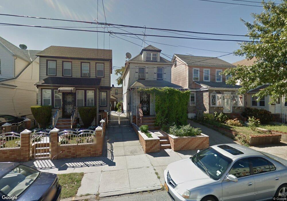
9344 204th St Hollis, NY 11423
Hollis NeighborhoodEstimated Value: $687,595 - $786,000
3
Beds
2
Baths
2,400
Sq Ft
$308/Sq Ft
Est. Value
About This Home
This home is located at 9344 204th St, Hollis, NY 11423 and is currently estimated at $738,649, approximately $307 per square foot. 9344 204th St is a home located in Queens County with nearby schools including The Bellaire School, Jean Nuzzi Intermediate School, and Incarnation Catholic Academy.
Ownership History
Date
Name
Owned For
Owner Type
Purchase Details
Closed on
Oct 13, 2005
Sold by
Lassiter Evelyn and Lassiter Melvin
Bought by
Miah Mohammed and Sultana Miah Rabaka
Current Estimated Value
Home Financials for this Owner
Home Financials are based on the most recent Mortgage that was taken out on this home.
Original Mortgage
$25,000
Outstanding Balance
$13,488
Interest Rate
5.79%
Estimated Equity
$725,161
Create a Home Valuation Report for This Property
The Home Valuation Report is an in-depth analysis detailing your home's value as well as a comparison with similar homes in the area
Home Values in the Area
Average Home Value in this Area
Purchase History
| Date | Buyer | Sale Price | Title Company |
|---|---|---|---|
| Miah Mohammed | $355,000 | -- | |
| Miah Mohammed | $355,000 | -- |
Source: Public Records
Mortgage History
| Date | Status | Borrower | Loan Amount |
|---|---|---|---|
| Open | Miah Mohammed | $25,000 | |
| Closed | Miah Mohammed | $25,000 | |
| Open | Miah Mohammed | $283,600 | |
| Closed | Miah Mohammed | $283,600 |
Source: Public Records
Tax History Compared to Growth
Tax History
| Year | Tax Paid | Tax Assessment Tax Assessment Total Assessment is a certain percentage of the fair market value that is determined by local assessors to be the total taxable value of land and additions on the property. | Land | Improvement |
|---|---|---|---|---|
| 2025 | $5,159 | $28,663 | $9,067 | $19,596 |
| 2024 | $5,171 | $27,086 | $9,637 | $17,449 |
| 2023 | $4,900 | $25,795 | $8,067 | $17,728 |
| 2022 | $4,605 | $43,080 | $14,880 | $28,200 |
| 2021 | $4,861 | $38,700 | $14,880 | $23,820 |
| 2020 | $4,760 | $33,300 | $14,880 | $18,420 |
| 2019 | $4,429 | $32,040 | $14,880 | $17,160 |
| 2018 | $4,084 | $21,496 | $13,261 | $8,235 |
| 2017 | $3,863 | $20,420 | $11,483 | $8,937 |
| 2016 | $3,772 | $20,420 | $11,483 | $8,937 |
| 2015 | $2,104 | $19,905 | $13,838 | $6,067 |
| 2014 | $2,104 | $18,810 | $14,381 | $4,429 |
Source: Public Records
Map
Nearby Homes
- 93-45 202nd St
- 9302 202nd St
- 93-17 201st St
- 90-62 204th St
- 9048 204th St
- 9051 201st St
- 9353 207th St
- 9331 207th St
- 90-36 Francis Lewis Blvd
- 90-32 207th St
- 94-72 199th St
- 90-13 Francis Lewis Blvd
- 99-03 207th St
- 99-11 200th St
- 90-54 209th St
- 90-60 209th St
- 89-42 202nd St
- 89-25 201st St
- 19907 100th Ave
- 8919 205th St
- 93-44 204th St
- 9344 204th St
- 9348 204th St
- 9342 204th St
- 9350 204th St
- 9340 204th St
- 9352 204th St
- 93-52 204th St
- 9336 204th St
- 9356 204th St
- 9334 204th St
- 9345 202nd St
- 93-41 202nd St
- 9341 202nd St
- 9347 202nd St
- 9358 204th St
- 93-45 202nd St Unit 2nd
- 93-45 202nd St Unit 1st Fl
- 9339 202nd St
- 9349 202nd St