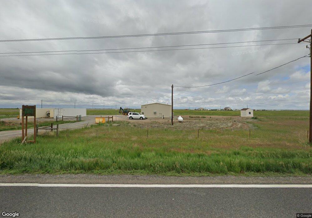
9345 Highway 79 Bennett, CO 80102
Estimated Value: $310,029
--
Bed
--
Bath
1,500
Sq Ft
$207/Sq Ft
Est. Value
About This Home
This home is located at 9345 Highway 79, Bennett, CO 80102 and is currently estimated at $310,029, approximately $206 per square foot. 9345 Highway 79 is a home located in Adams County with nearby schools including Bennett Elementary School, Bennett Middle School, and Bennett High School.
Ownership History
Date
Name
Owned For
Owner Type
Purchase Details
Closed on
May 1, 2024
Sold by
Huddleston Family Trust
Bought by
Blue Sky Properties Inc
Current Estimated Value
Home Financials for this Owner
Home Financials are based on the most recent Mortgage that was taken out on this home.
Original Mortgage
$225,000
Outstanding Balance
$221,103
Interest Rate
5.75%
Mortgage Type
New Conventional
Estimated Equity
$88,926
Purchase Details
Closed on
Nov 7, 2019
Sold by
Huddleston David L
Bought by
The Huddleston Family Trust
Purchase Details
Closed on
Feb 5, 2010
Sold by
Linnebur Eugene Leonard and Linnebur Shirley Marie
Bought by
Linnebur Grain & Buffalo Lllp
Create a Home Valuation Report for This Property
The Home Valuation Report is an in-depth analysis detailing your home's value as well as a comparison with similar homes in the area
Home Values in the Area
Average Home Value in this Area
Purchase History
| Date | Buyer | Sale Price | Title Company |
|---|---|---|---|
| Blue Sky Properties Inc | -- | None Listed On Document | |
| Blue Sky Properties Inc | $325,000 | Land Title | |
| The Huddleston Family Trust | -- | None Available | |
| Linnebur Grain & Buffalo Lllp | -- | None Available |
Source: Public Records
Mortgage History
| Date | Status | Borrower | Loan Amount |
|---|---|---|---|
| Open | Blue Sky Properties Inc | $225,000 |
Source: Public Records
Tax History Compared to Growth
Tax History
| Year | Tax Paid | Tax Assessment Tax Assessment Total Assessment is a certain percentage of the fair market value that is determined by local assessors to be the total taxable value of land and additions on the property. | Land | Improvement |
|---|---|---|---|---|
| 2024 | $503 | $9,150 | $1,660 | $7,490 |
| 2023 | $503 | $7,180 | $1,570 | $5,610 |
| 2022 | $495 | $7,170 | $1,560 | $5,610 |
| 2021 | $539 | $7,170 | $1,560 | $5,610 |
| 2020 | $447 | $6,670 | $1,850 | $4,820 |
| 2019 | $463 | $6,670 | $1,850 | $4,820 |
| 2018 | $574 | $7,470 | $1,990 | $5,480 |
| 2017 | $573 | $7,470 | $1,990 | $5,480 |
| 2016 | $556 | $7,590 | $1,800 | $5,790 |
| 2015 | $551 | $7,590 | $1,800 | $5,790 |
| 2014 | -- | $7,160 | $1,490 | $5,670 |
Source: Public Records
Map
Nearby Homes
- 0 Vacant Land Parcel 2 Unit REC5959024
- 8555 Converse Rd
- 0 Tbd E 112th Ave Unit REC1788626
- 44000 E 88th Ave
- 9100 Schumaker Rd
- Tbd Schumaker Rd
- 10660 Schumaker Rd
- 48155 E 56th Ave
- 51315 E 56th Ave
- 5549 Yulle Rd
- 0 Tbd Strasburg Rd
- 44015 E 128th Ave
- 7337 van Sickle St
- 56801 E 76th Ave
- 56520 E 74th Dr
- 6945 Strasburg Rd
- 50100 E 48th Ave
- 43310 E 144th Ave
- 0 E 144th Ave
- 48185 Shetland Dr
- 9345 Highway 79
- 9457 Highway 79
- 8860 Highway 79
- 9151 Kiowa Bennett Rd
- 96th N Kiowa Bennett Rd Ave
- 48755 E 88th Ave
- 49055 E 88th Ave
- 48555 E 88th Ave
- 49215 E 88th Ave
- 49707 E 96th Ave
- 49315 E 88th Ave
- 48255 E 88th Ave
- 49801 E 88th Ave
- 9200 Converse Rd
- 10052 Highway 79
- 50301 E 88th Ave
- 0 Hwy 79 Kiowa Bennett Rd Unit 1521585
- 50365 E 88th Ave