Estimated Value: $300,000 - $329,484
3
Beds
4
Baths
1,820
Sq Ft
$174/Sq Ft
Est. Value
About This Home
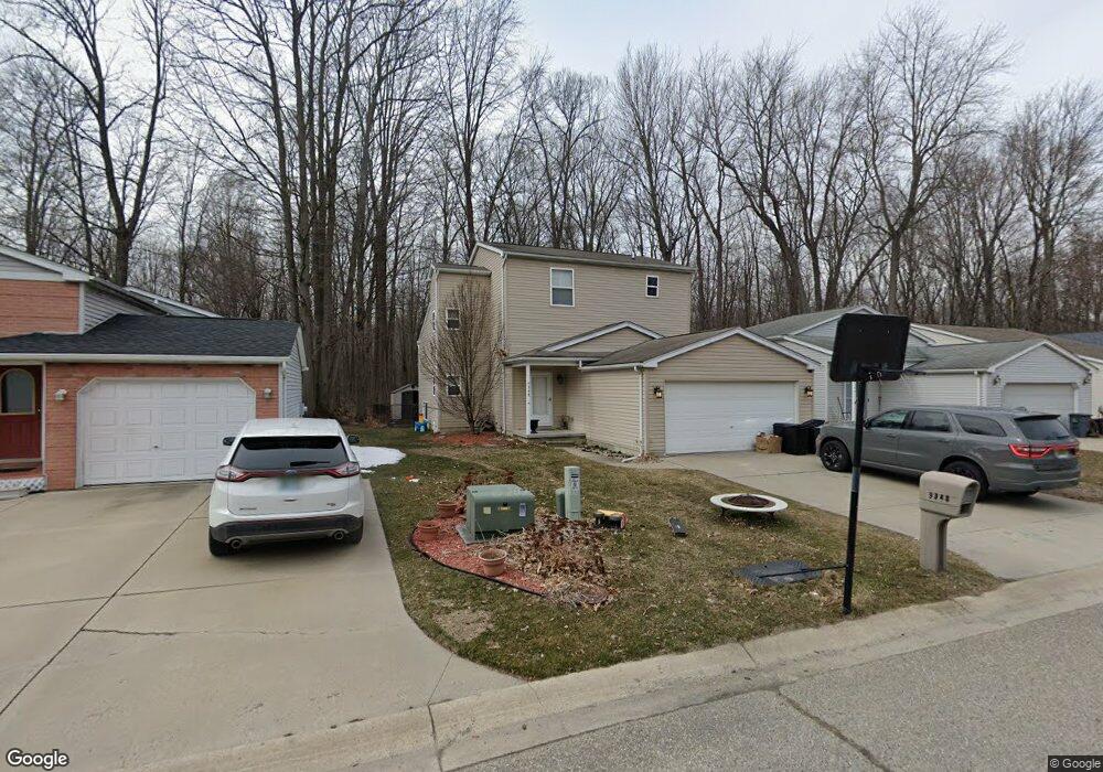
This home is located at 9348 Lakepointe Blvd Unit Bldg-Unit, Clay, MI 48001 and is currently estimated at $317,371, approximately $174 per square foot. 9348 Lakepointe Blvd Unit Bldg-Unit is a home located in St. Clair County with nearby schools including Algonac Junior/Senior High School.
Ownership History
Date
Name
Owned For
Owner Type
Purchase Details
Closed on
May 6, 2011
Sold by
Emerson Martha
Bought by
Grove Jason and Grove Lori
Current Estimated Value
Home Financials for this Owner
Home Financials are based on the most recent Mortgage that was taken out on this home.
Original Mortgage
$87,718
Outstanding Balance
$60,594
Interest Rate
4.75%
Mortgage Type
FHA
Estimated Equity
$256,777
Create a Home Valuation Report for This Property
The Home Valuation Report is an in-depth analysis detailing your home's value as well as a comparison with similar homes in the area
Home Values in the Area
Average Home Value in this Area
Purchase History
| Date | Buyer | Sale Price | Title Company |
|---|---|---|---|
| Grove Jason | $90,000 | None Available |
Source: Public Records
Mortgage History
| Date | Status | Borrower | Loan Amount |
|---|---|---|---|
| Open | Grove Jason | $87,718 |
Source: Public Records
Tax History Compared to Growth
Tax History
| Year | Tax Paid | Tax Assessment Tax Assessment Total Assessment is a certain percentage of the fair market value that is determined by local assessors to be the total taxable value of land and additions on the property. | Land | Improvement |
|---|---|---|---|---|
| 2025 | $3,444 | $131,200 | $0 | $0 |
| 2024 | $1,934 | $124,800 | $0 | $0 |
| 2023 | $1,863 | $109,100 | $0 | $0 |
| 2022 | $3,170 | $100,600 | $0 | $0 |
| 2021 | $3,002 | $95,700 | $0 | $0 |
| 2020 | $2,975 | $90,100 | $90,100 | $0 |
| 2019 | $2,927 | $84,800 | $0 | $0 |
| 2018 | $2,038 | $80,400 | $0 | $0 |
| 2017 | $1,870 | $74,900 | $0 | $0 |
| 2016 | $1,055 | $74,900 | $0 | $0 |
| 2015 | -- | $69,400 | $69,400 | $0 |
| 2014 | -- | $54,700 | $54,700 | $0 |
| 2013 | -- | $54,900 | $0 | $0 |
Source: Public Records
Map
Nearby Homes
- 5691 Windjammer Ct Unit 190
- 9445 Lakepointe Blvd
- 9106 Maple Rd
- 24 Vacant Lots Land
- 9658 Seaway Dr
- 5192 Canal Ct Unit 145
- 9279 Oakdale St
- 00 Taft Rd
- 0000 Taft Rd
- 5109 Pointe Tremble Rd
- 9038 Stone Rd
- 0 Russell Dr Unit 50179629
- 00 Russell
- 00 Dickinson Island
- 6630 Holland St
- 2866 Fruit St
- 2090 N Channel Dr
- 00000 N Channel Dr
- 407-425 N Channel Dr
- 00 N Channel Dr
- 9348 Lakepointe Blvd
- 9346 Lakepointe Blvd
- 9350 Lakepointe Blvd
- 9344 Lakepointe Blvd
- 9352 Lakepointe Blvd
- 9347 Lakepointe Blvd
- 9345 Lakepointe Blvd
- 9342 Lakepointe Blvd
- 9354 Lakepointe Blvd
- 9349 Lakepointe Blvd
- 9343 Lakepointe Blvd
- 9353 Lakepointe Blvd
- 9340 Lakepointe Blvd
- 9356 Lakepointe Blvd
- 9341 Lakepointe Blvd
- 9355 Lakepointe Blvd
- 9357 Lakepointe Blvd
- 9338 Lakepointe Blvd
- 9358 Lakepointe Blvd
- 0 Lakepointe Blvd