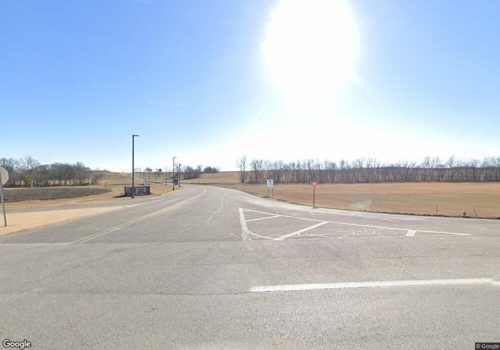
9348 SW Regional Airport Blvd Hwy 12 W Bentonville, AR 72712
Estimated Value: $181,000 - $4,663,000
--
Bed
--
Bath
1,432
Sq Ft
$1,691/Sq Ft
Est. Value
About This Home
This home is located at 9348 SW Regional Airport Blvd Hwy 12 W, Bentonville, AR 72712 and is currently estimated at $2,422,000, approximately $1,691 per square foot. 9348 SW Regional Airport Blvd Hwy 12 W is a home located in Benton County with nearby schools including Vaughn Elementary, Grimsley Junior High School, and Creekside Middle School.
Ownership History
Date
Name
Owned For
Owner Type
Purchase Details
Closed on
Dec 9, 1999
Bought by
Harris-Razorback 2P
Current Estimated Value
Purchase Details
Closed on
Nov 24, 1999
Bought by
Harris Ptnrshp
Purchase Details
Closed on
Oct 13, 1999
Bought by
Harris Ptnrshp
Purchase Details
Closed on
Apr 5, 1999
Bought by
City Bentonville 2.42A
Purchase Details
Closed on
Dec 5, 1995
Bought by
Nw Ar Airport 2P
Purchase Details
Closed on
Dec 1, 1971
Bought by
Harris
Purchase Details
Closed on
Nov 23, 1964
Bought by
Farmers Prod-Fugitt
Create a Home Valuation Report for This Property
The Home Valuation Report is an in-depth analysis detailing your home's value as well as a comparison with similar homes in the area
Home Values in the Area
Average Home Value in this Area
Purchase History
| Date | Buyer | Sale Price | Title Company |
|---|---|---|---|
| Harris-Razorback 2P | $1,176,000 | -- | |
| Harris Ptnrshp | -- | -- | |
| Harris Ptnrshp | -- | -- | |
| City Bentonville 2.42A | -- | -- | |
| Nw Ar Airport 2P | $160,000 | -- | |
| Bartholomew-Harris Fugitt | -- | -- | |
| Harris | -- | -- | |
| Farmers Prod-Fugitt | -- | -- |
Source: Public Records
Tax History Compared to Growth
Tax History
| Year | Tax Paid | Tax Assessment Tax Assessment Total Assessment is a certain percentage of the fair market value that is determined by local assessors to be the total taxable value of land and additions on the property. | Land | Improvement |
|---|---|---|---|---|
| 2025 | $197 | $3,210 | $3,210 | -- |
| 2024 | $198 | $3,210 | $3,210 | $0 |
| 2023 | $190 | $3,080 | $3,080 | $0 |
| 2022 | $196 | $3,080 | $3,080 | $0 |
| 2021 | $196 | $3,080 | $3,080 | $0 |
| 2020 | $185 | $2,900 | $2,900 | $0 |
| 2019 | $185 | $2,900 | $2,900 | $0 |
| 2018 | $185 | $2,900 | $2,900 | $0 |
| 2017 | $288 | $4,670 | $2,900 | $1,770 |
| 2016 | $288 | $4,670 | $2,900 | $1,770 |
| 2015 | $273 | $4,420 | $2,580 | $1,840 |
| 2014 | $273 | $9,630 | $3,930 | $5,700 |
Source: Public Records
Map
Nearby Homes
- TBD SW Artillery Rd
- 6815 SW Devotion Ave
- 6813 SW Devotion Ave
- 6722 SW Memphis Ave
- 6720 SW Memphis Ave
- 6715 SW Dignity Ave
- 6605 SW Devotion Ave
- 6603 SW Devotion Ave
- 6607 SW Devotion Ave
- 6601 SW Devotion Ave
- 21.61 Acres W Highway 12
- 6708 SW Spindle St
- 6809 SW Basswood Ave
- 6807 SW Basswood Ave
- 6 Lots SW Basswood Ave
- 7303 SW High Meadow Blvd
- 7105 SW High Meadow Blvd
- 7203 SW High Meadow Blvd
- 7101 SW Basswood Ave
- 6908 SW Basswood Ave
- 9348 Regional Airport Blvd Sw Hwy 12 W Ar
- 9234 W Ar 12 Hwy
- 12 W Highway 12 & Orchid Rd Rd
- 0 SW Reg Airport Blvd Unit 594365
- 0 SW Reg Airport Blvd Unit 683537
- 0 SW Reg Airport Blvd Unit 718878
- 0 SW Reg Airport Blvd Unit 1083284
- 0 SW Reg Airport Blvd Unit 1123582
- 5.14 Acres SW Reg Airport Blvd
- 8251 SW Regional Airport Blvd
- 10333 Regional Ave
- 8200 SW Regional Airport Blvd
- 0 E Hwy 12 Unit 494889
- 0 E Hwy 12 Unit 1123380
- 0 E Hwy 12 Unit 1123393
- 0 E Hwy 12 Unit 1156785
- 6718 Memphis Ave
- 7801 SW Barron Rd
- 6800 Memphis Ave
- 6986 SW Barron Rd
