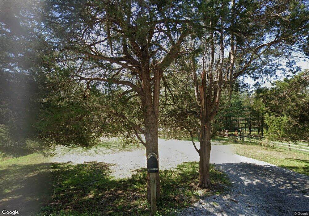
9349 Day Rd Marion, IL 62959
Estimated Value: $220,000 - $478,000
--
Bed
--
Bath
1,400
Sq Ft
$224/Sq Ft
Est. Value
About This Home
This home is located at 9349 Day Rd, Marion, IL 62959 and is currently estimated at $313,726, approximately $224 per square foot. 9349 Day Rd is a home located in Williamson County with nearby schools including Longfellow Elementary School, Marion Junior High School, and Marion High School.
Ownership History
Date
Name
Owned For
Owner Type
Purchase Details
Closed on
Jul 26, 2024
Sold by
Roger L Followell Living Trust and Lynn M Followell Living Trust
Bought by
Followell Jonathan and Followell Katrina
Current Estimated Value
Purchase Details
Closed on
Jul 22, 2020
Sold by
Enertech Global Llc
Bought by
Roger L Followell Living Trust and Lynn M Followell Living Trust
Create a Home Valuation Report for This Property
The Home Valuation Report is an in-depth analysis detailing your home's value as well as a comparison with similar homes in the area
Home Values in the Area
Average Home Value in this Area
Purchase History
| Date | Buyer | Sale Price | Title Company |
|---|---|---|---|
| Followell Jonathan | -- | None Listed On Document | |
| Followell Jonathan | -- | None Listed On Document | |
| Roger L Followell Living Trust | -- | Obyrne Stanko & Jefferson Pc |
Source: Public Records
Tax History Compared to Growth
Tax History
| Year | Tax Paid | Tax Assessment Tax Assessment Total Assessment is a certain percentage of the fair market value that is determined by local assessors to be the total taxable value of land and additions on the property. | Land | Improvement |
|---|---|---|---|---|
| 2025 | $4,218 | $64,760 | $8,370 | $56,390 |
| 2024 | $4,218 | $64,760 | $8,370 | $56,390 |
| 2023 | $4,218 | $57,360 | $7,620 | $49,740 |
| 2022 | $4,506 | $67,130 | $8,610 | $58,520 |
| 2021 | $4,436 | $64,770 | $8,370 | $56,400 |
| 2020 | $4,436 | $61,310 | $8,020 | $53,290 |
| 2019 | $4,442 | $75,190 | $21,900 | $53,290 |
| 2018 | $4,442 | $64,990 | $11,700 | $53,290 |
| 2017 | $4,366 | $59,730 | $6,440 | $53,290 |
| 2015 | $3,894 | $56,769 | $6,289 | $50,480 |
| 2013 | $3,368 | $56,690 | $6,210 | $50,480 |
| 2012 | $3,368 | $56,690 | $6,210 | $50,480 |
Source: Public Records
Map
Nearby Homes
- 000 Day Rd
- 1921 Grange Hall Rd
- 8090 Southfork Rd
- 8130 Southfork Rd
- 2585 Dylan Dr
- 0000 Teske Rd
- 3477 Sneed Rd
- 9049 Grassy Rd
- Tbd Country Club Rd
- 10367 Grassy Rd
- 5341 N Lick Creek Rd
- 526 Power Plant Rd
- 11119 Adams Acres Dr
- Lot 82 & 83 Saluki Way
- Lot 80 & 81 Saluki Way
- Lot 41 Luxor Landing Ln
- Lot 39 & 40 Luxor Landing Ln
- Lot 31 Luxor Landing
- 00 Eagle Point Bay Rd
- 3106 Stewart Ln
