935 Ambleside Dr Suwanee, GA 30024
Estimated Value: $756,550 - $920,000
5
Beds
4
Baths
3,581
Sq Ft
$235/Sq Ft
Est. Value
About This Home
This home is located at 935 Ambleside Dr, Suwanee, GA 30024 and is currently estimated at $841,638, approximately $235 per square foot. 935 Ambleside Dr is a home located in Forsyth County with nearby schools including Sharon Elementary School, South Forsyth Middle School, and Lambert High School.
Ownership History
Date
Name
Owned For
Owner Type
Purchase Details
Closed on
Nov 20, 2000
Sold by
Touchstone Homes Ga Inc
Bought by
Vincent Keith and Vincent Gayle
Current Estimated Value
Home Financials for this Owner
Home Financials are based on the most recent Mortgage that was taken out on this home.
Original Mortgage
$252,700
Outstanding Balance
$92,716
Interest Rate
7.82%
Mortgage Type
New Conventional
Estimated Equity
$748,922
Create a Home Valuation Report for This Property
The Home Valuation Report is an in-depth analysis detailing your home's value as well as a comparison with similar homes in the area
Home Values in the Area
Average Home Value in this Area
Purchase History
| Date | Buyer | Sale Price | Title Company |
|---|---|---|---|
| Vincent Keith | $322,600 | -- |
Source: Public Records
Mortgage History
| Date | Status | Borrower | Loan Amount |
|---|---|---|---|
| Open | Vincent Keith | $252,700 |
Source: Public Records
Tax History
| Year | Tax Paid | Tax Assessment Tax Assessment Total Assessment is a certain percentage of the fair market value that is determined by local assessors to be the total taxable value of land and additions on the property. | Land | Improvement |
|---|---|---|---|---|
| 2025 | $949 | $319,840 | $72,000 | $247,840 |
| 2024 | $949 | $289,368 | $66,000 | $223,368 |
| 2023 | $880 | $284,612 | $60,000 | $224,612 |
Source: Public Records
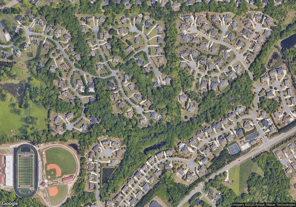
Map
Nearby Homes
- 940 Ambleside Dr
- 1045 Coleridge Way
- 1565 Bramble Bush Way
- 1070 Coleridge Way
- 1055 Coleridge Way
- 1820 Turnberry Ave
- 1680 Cone Flower Way
- 645 Summerwind Way
- 1710 Bramble Bush Way
- 625 Glenish Ct
- 245 Mayfair Ct
- 561 Nichols Rd
- 4250 Old Oak Trace
- 820 Great Glen Place
- 1445 Thunder Gulch Pass
- 1310 Settles Rd
- 1170 Burgess Dr
- 1875 Southers Cir
- 310 Hammersmith Dr
- 3915 Three Chimneys Ln
- 925 Ambleside Dr
- 945 Ambleside Dr
- 1010 Coleridge Way
- 915 Ambleside Dr
- 950 Ambleside Dr
- 1020 Coleridge Way
- 930 Ambleside Dr
- 1620 Cone Flower Way
- 905 Ambleside Dr
- 920 Ambleside Dr
- 960 Summerwind Way
- 1015 Coleridge Way
- 1630 Cone Flower Way
- 910 Ambleside Dr
- 1790 Bramble Bush Way
- 1610 Cone Flower Way
- 910 Whitehaven Rd
- 1630 Bramble Bush Way
- 1035 Coleridge Way
Your Personal Tour Guide
Ask me questions while you tour the home.