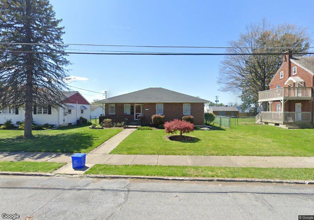
935 Cambridge Ave Bethlehem, PA 18018
West Bethlehem NeighborhoodEstimated Value: $294,000 - $374,000
3
Beds
2
Baths
1,524
Sq Ft
$230/Sq Ft
Est. Value
About This Home
This home is located at 935 Cambridge Ave, Bethlehem, PA 18018 and is currently estimated at $349,876, approximately $229 per square foot. 935 Cambridge Ave is a home located in Lehigh County with nearby schools including Clearview Elementary School, Nitschmann Middle School, and Liberty High School.
Ownership History
Date
Name
Owned For
Owner Type
Purchase Details
Closed on
Jan 23, 2003
Sold by
Abraham Patricia J and Abraham James
Bought by
Abraham James and Abraham Patricia J
Current Estimated Value
Purchase Details
Closed on
Oct 24, 1995
Sold by
Barber Kenneth A and Barber Theresa L
Bought by
Ference Patricia J and James Abraham
Purchase Details
Closed on
May 4, 1994
Sold by
Barber Kenneth A and Barber Theresa L
Bought by
Barber Kenneth A and Barber Theresa L
Create a Home Valuation Report for This Property
The Home Valuation Report is an in-depth analysis detailing your home's value as well as a comparison with similar homes in the area
Home Values in the Area
Average Home Value in this Area
Purchase History
| Date | Buyer | Sale Price | Title Company |
|---|---|---|---|
| Abraham James | -- | -- | |
| Ference Patricia J | $95,000 | -- | |
| Barber Kenneth A | -- | -- |
Source: Public Records
Tax History Compared to Growth
Tax History
| Year | Tax Paid | Tax Assessment Tax Assessment Total Assessment is a certain percentage of the fair market value that is determined by local assessors to be the total taxable value of land and additions on the property. | Land | Improvement |
|---|---|---|---|---|
| 2025 | $5,459 | $190,000 | $34,800 | $155,200 |
| 2024 | $5,396 | $190,000 | $34,800 | $155,200 |
| 2023 | $5,349 | $190,000 | $34,800 | $155,200 |
| 2022 | $5,436 | $190,000 | $155,200 | $34,800 |
| 2021 | $5,411 | $190,000 | $34,800 | $155,200 |
| 2020 | $5,238 | $190,000 | $34,800 | $155,200 |
| 2019 | $5,276 | $190,000 | $34,800 | $155,200 |
| 2018 | $5,174 | $190,000 | $34,800 | $155,200 |
| 2017 | $4,944 | $190,000 | $34,800 | $155,200 |
| 2016 | -- | $190,000 | $34,800 | $155,200 |
| 2015 | -- | $190,000 | $34,800 | $155,200 |
| 2014 | -- | $190,000 | $34,800 | $155,200 |
Source: Public Records
Map
Nearby Homes
- 2035 W Broad St
- 922 Beverly Ave
- 820 Club Ave Unit 822
- 1198 Pennsylvania Ave
- 1853 Richmond Ave
- 1209 Manchester Rd
- 1011 Highland Ave
- 1768 W Union Blvd
- 650 Highland Ave
- 2030 Hanover Ave Unit 2032
- 1909 E Keats St
- 1257 Troxell St
- 2180 Pinehurst Rd
- 1541 Stanford Rd
- 1920 E Woodlawn St
- 1512 W Broad St
- 1711 E Greenleaf St Unit 1713
- 1334 W Union Blvd
- 1918 Pinehurst Rd
- 1905 E Columbia St
- 927 Cambridge Ave
- 941 Cambridge Ave
- 921 Cambridge Ave
- 740 Keystone Ave
- 934 Cambridge Ave
- 730 Keystone Ave
- 915 Cambridge Ave
- 932 Cambridge Ave Unit 934
- 2113 Eaton Ave
- 2109 Eaton Ave
- 2111 Eaton Ave
- 2107 Eaton Ave
- 2115 Eaton Ave
- 724 Keystone Ave
- 2105 Eaton Ave
- 926 Cambridge Ave
- 940 Cambridge Ave
- 2101 Eaton Ave
- 2103 Eaton Ave
- 918 Cambridge Ave