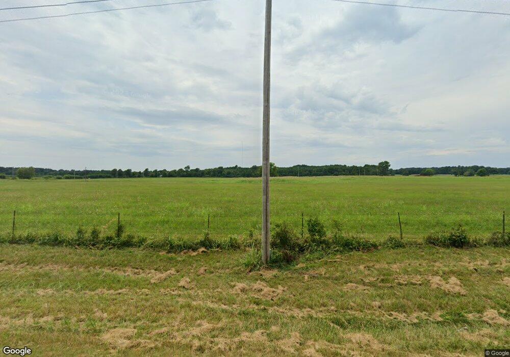
935 Cr 348 Jonesboro, AR 72401
Estimated Value: $477,055 - $502,000
4
Beds
4
Baths
4,200
Sq Ft
$115/Sq Ft
Est. Value
About This Home
This home is located at 935 Cr 348, Jonesboro, AR 72401 and is currently estimated at $485,014, approximately $115 per square foot. 935 Cr 348 is a home located in Craighead County with nearby schools including Westside Elementary School, Westside Middle School, and Westside High School.
Ownership History
Date
Name
Owned For
Owner Type
Purchase Details
Closed on
Mar 22, 2024
Sold by
Kernodle Denton Lee and Dealva Lee
Bought by
Goodman Kesha and Goodman Dylan
Current Estimated Value
Home Financials for this Owner
Home Financials are based on the most recent Mortgage that was taken out on this home.
Original Mortgage
$446,758
Outstanding Balance
$439,520
Interest Rate
6.77%
Mortgage Type
FHA
Estimated Equity
$45,494
Create a Home Valuation Report for This Property
The Home Valuation Report is an in-depth analysis detailing your home's value as well as a comparison with similar homes in the area
Home Values in the Area
Average Home Value in this Area
Purchase History
| Date | Buyer | Sale Price | Title Company |
|---|---|---|---|
| Goodman Kesha | $455,000 | Stewart Title Of Arkansas |
Source: Public Records
Mortgage History
| Date | Status | Borrower | Loan Amount |
|---|---|---|---|
| Open | Goodman Kesha | $446,758 |
Source: Public Records
Tax History Compared to Growth
Tax History
| Year | Tax Paid | Tax Assessment Tax Assessment Total Assessment is a certain percentage of the fair market value that is determined by local assessors to be the total taxable value of land and additions on the property. | Land | Improvement |
|---|---|---|---|---|
| 2025 | $1,541 | $49,246 | $8,369 | $40,877 |
| 2024 | $1,541 | $49,246 | $8,369 | $40,877 |
| 2023 | $875 | $49,246 | $8,369 | $40,877 |
| 2022 | $925 | $49,246 | $8,369 | $40,877 |
| 2021 | $954 | $40,445 | $6,478 | $33,967 |
| 2020 | $954 | $43,690 | $9,720 | $33,970 |
| 2019 | $1,086 | $43,690 | $9,720 | $33,970 |
| 2018 | $1,100 | $43,690 | $9,720 | $33,970 |
| 2017 | $1,044 | $43,690 | $9,720 | $33,970 |
| 2016 | $1,033 | $31,090 | $4,770 | $26,320 |
| 2015 | $1,353 | $31,090 | $4,770 | $26,320 |
| 2014 | $1,033 | $31,090 | $4,770 | $26,320 |
Source: Public Records
Map
Nearby Homes
- 1 County Road 348
- 1 County Road 342
- 279 County Road 342
- 2086 County Road 318
- 1577 County Road 318
- 14 County Road 346
- 393 County Road 371
- 727 Cr 311
- 23 Winchester Dr
- 2208 Duncan Rd
- 8546 County Road 333
- 303 Hollis St
- 305 Hollis St
- 0 Hasbrook Rd
- 1010 Winchester Dr
- 97 County Road 130
- 581 County Road 130
- 216 Cr 300
- 219 Maurita St
- 1812 Duncan Rd
- 935 County Road 348
- 935 County Road 348
- 1673 County Road 342
- 1769 County Road 342
- 1769 Cr 342
- 1708 County Road 342
- 1675 County Road 342
- 1873 County Road 342
- 1769 County Road 342
- 1585 County Road 342
- 1851 County Road 342
- 803 County Road 348
- 92 County Road 316
- 697 County Road 348
- 227 County Road 309
- 6 County Road 309 Unit 6.87 acres on GR 309
- 227 County Road 309
- 227 Cr 309
- 209 County Road 309
- 177 County Road 309
