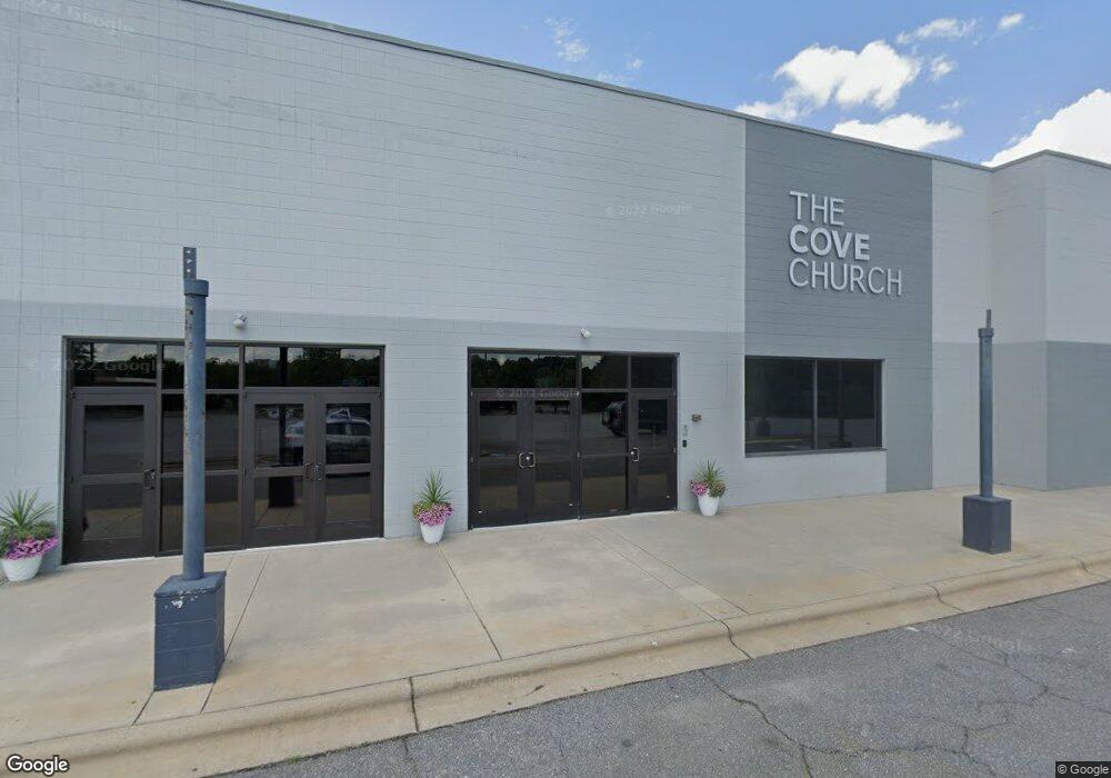
935 Crossroads Dr Statesville, NC 28625
--
Bed
3
Baths
49,346
Sq Ft
5.53
Acres
About This Home
This home is located at 935 Crossroads Dr, Statesville, NC 28625. 935 Crossroads Dr is a home located in Iredell County with nearby schools including Cloverleaf Elementary School, East Iredell Middle School, and Statesville High School.
Ownership History
Date
Name
Owned For
Owner Type
Purchase Details
Closed on
Sep 16, 2013
Sold by
Wells Fargo Bank N A
Bought by
The Cove Church Inc
Purchase Details
Closed on
Sep 1, 2013
Sold by
Wells Fargo Bank N A
Bought by
The Cove Church Inc
Purchase Details
Closed on
Jun 1, 2012
Sold by
Fuzion Statesville Re Llc
Bought by
Wells Fargo Bank Na
Purchase Details
Closed on
Jul 19, 2007
Sold by
Mdi Management Inc
Bought by
Sampson Stec Statesville Llc
Purchase Details
Closed on
Mar 31, 1993
Purchase Details
Closed on
Mar 16, 1993
Purchase Details
Closed on
Dec 19, 1990
Create a Home Valuation Report for This Property
The Home Valuation Report is an in-depth analysis detailing your home's value as well as a comparison with similar homes in the area
Home Values in the Area
Average Home Value in this Area
Purchase History
| Date | Buyer | Sale Price | Title Company |
|---|---|---|---|
| The Cove Church Inc | -- | None Available | |
| The Cove Church Inc | $1,495,000 | None Available | |
| Wells Fargo Bank Na | $1,890,000 | None Available | |
| Sampson Stec Statesville Llc | $1,900,000 | None Available | |
| -- | -- | -- | |
| -- | $850,000 | -- | |
| -- | -- | -- | |
| -- | -- | -- |
Source: Public Records
Tax History Compared to Growth
Tax History
| Year | Tax Paid | Tax Assessment Tax Assessment Total Assessment is a certain percentage of the fair market value that is determined by local assessors to be the total taxable value of land and additions on the property. | Land | Improvement |
|---|---|---|---|---|
| 2024 | $44,541 | $4,104,030 | $1,565,810 | $2,538,220 |
| 2023 | $41,763 | $4,104,030 | $1,565,810 | $2,538,220 |
| 2022 | $37,707 | $3,474,350 | $1,565,810 | $1,908,540 |
| 2021 | $37,707 | $3,474,350 | $1,565,810 | $1,908,540 |
| 2020 | $37,707 | $3,474,350 | $1,565,810 | $1,908,540 |
| 2019 | $37,360 | $3,474,350 | $1,565,810 | $1,908,540 |
| 2018 | $33,676 | $3,338,870 | $1,565,810 | $1,773,060 |
| 2017 | -- | $3,338,870 | $1,565,810 | $1,773,060 |
| 2016 | -- | $3,338,870 | $1,565,810 | $1,773,060 |
| 2015 | -- | $3,338,870 | $1,565,810 | $1,773,060 |
| 2014 | -- | $3,662,690 | $1,566,100 | $2,096,590 |
Source: Public Records
Map
Nearby Homes
- 1135 Valley St
- 1175 Valley St Unit 111
- 920 Thomas St
- 1474 Winter Dr
- 350 Turnersburg Hwy
- 359 Turnersburg Hwy
- 535 Gaither Rd
- 535 N Carolina Ave
- 1345 Radio Rd
- 4 Brookgreen Place
- 915 Brookwood Ct
- 1540 Royalty Cir
- 145 Oconee Trail
- 150 Oconee Trail
- Lawson Plan at Sullivan Farm
- Frost Plan at Sullivan Farm
- Dickenson Plan at Sullivan Farm
- Whitman Plan at Sullivan Farm
- Crane Plan at Sullivan Farm
- Emerson Plan at Sullivan Farm
- 910 Crossroads Dr
- 154 Turnersburg Hwy
- 157 Catawba Walk Way
- 00 Glenway Dr
- 185 Turnersburg Hwy
- 124 Sunset Hill Rd
- 1208 Ascending Ln
- 110 Hillside Ln
- 115 Hillside Ln
- 0 Turnersburg Hwy Unit 858551
- 0001 Turnersburg Hwy
- 264 Turnersburg Hwy
- Lot#33 Macon Dr Unit Lot 33
- 280 Turnersburg Hwy
- 284 Turnersburg Hwy
- 721 Sullivan Rd
- 120 Cowan Ln
- TBD Free Nancy Ave Unit 1,2 & 3
- 110 Cowan Ln
- 114 Cowan Ln