Estimated Value: $958,000 - $1,112,000
5
Beds
4
Baths
3,869
Sq Ft
$264/Sq Ft
Est. Value
About This Home
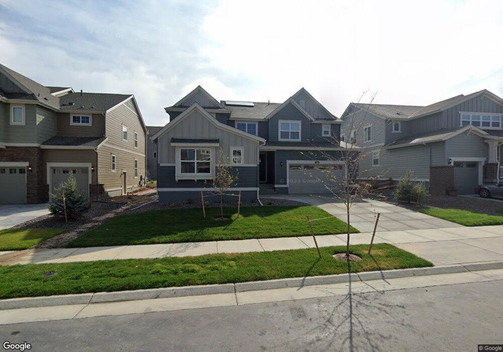
This home is located at 935 Dakota Ln, Erie, CO 80516 and is currently estimated at $1,022,103, approximately $264 per square foot. 935 Dakota Ln is a home located in Boulder County with nearby schools including Meadowlark School, Centaurus High School, and Aspen Ridge Preparatory School.
Ownership History
Date
Name
Owned For
Owner Type
Purchase Details
Closed on
Apr 13, 2022
Sold by
Haden Roger B
Bought by
Haden Family Trust
Current Estimated Value
Purchase Details
Closed on
Mar 31, 2022
Sold by
Haden Roger B
Bought by
Haden Family Trust
Purchase Details
Closed on
Jun 25, 2021
Sold by
Anderson Jacob M and Anderson Candice N
Bought by
Haden Roger B and Haden Karen J
Home Financials for this Owner
Home Financials are based on the most recent Mortgage that was taken out on this home.
Original Mortgage
$505,000
Interest Rate
2.9%
Mortgage Type
New Conventional
Purchase Details
Closed on
Jul 26, 2018
Sold by
Lennar Colorado Llc
Bought by
Anderson Jacob M
Home Financials for this Owner
Home Financials are based on the most recent Mortgage that was taken out on this home.
Original Mortgage
$496,700
Interest Rate
4.5%
Mortgage Type
New Conventional
Create a Home Valuation Report for This Property
The Home Valuation Report is an in-depth analysis detailing your home's value as well as a comparison with similar homes in the area
Home Values in the Area
Average Home Value in this Area
Purchase History
| Date | Buyer | Sale Price | Title Company |
|---|---|---|---|
| Haden Family Trust | -- | None Listed On Document | |
| Haden Family Trust | -- | None Listed On Document | |
| Haden Roger B | $855,000 | Land Title Guarantee | |
| Anderson Jacob M | $656,700 | North American Title |
Source: Public Records
Mortgage History
| Date | Status | Borrower | Loan Amount |
|---|---|---|---|
| Previous Owner | Haden Roger B | $505,000 | |
| Previous Owner | Anderson Jacob M | $496,700 |
Source: Public Records
Tax History Compared to Growth
Tax History
| Year | Tax Paid | Tax Assessment Tax Assessment Total Assessment is a certain percentage of the fair market value that is determined by local assessors to be the total taxable value of land and additions on the property. | Land | Improvement |
|---|---|---|---|---|
| 2025 | $8,291 | $59,907 | $11,169 | $48,738 |
| 2024 | $8,291 | $59,907 | $11,169 | $48,738 |
| 2023 | $9,989 | $61,191 | $14,861 | $50,016 |
| 2022 | $7,993 | $47,565 | $9,403 | $38,162 |
| 2021 | $7,993 | $48,935 | $9,674 | $39,261 |
| 2020 | $7,077 | $43,064 | $5,434 | $37,630 |
| 2019 | $3,592 | $22,040 | $22,040 | $0 |
| 2018 | $5,586 | $35,061 | $35,061 | $0 |
| 2017 | $2,792 | $18,270 | $18,270 | $0 |
Source: Public Records
Map
Nearby Homes
- 2326 Carbonate Cir
- 908 Dinosaur Dr
- 1063 Sandstone Cir
- 1041 Homestead Rd
- 825 Dakota Ln
- 1195 Fox Hills Ct
- 853 Limestone Dr
- 933 Rocky Ridge Cir
- 848 Sandstone Cir
- 620 Sundance Cir
- 1920 Marfell St
- 2268 Front Range Rd
- 1331 Fountain Ln
- 2113 Fountain Cir
- 1381 Siltstone St
- 648 Sundance Cir
- 676 Fossil Bed Cir
- 630 Benton Ln
- 385 Baxter Farm Ln
- 1182 Red Iron Ct