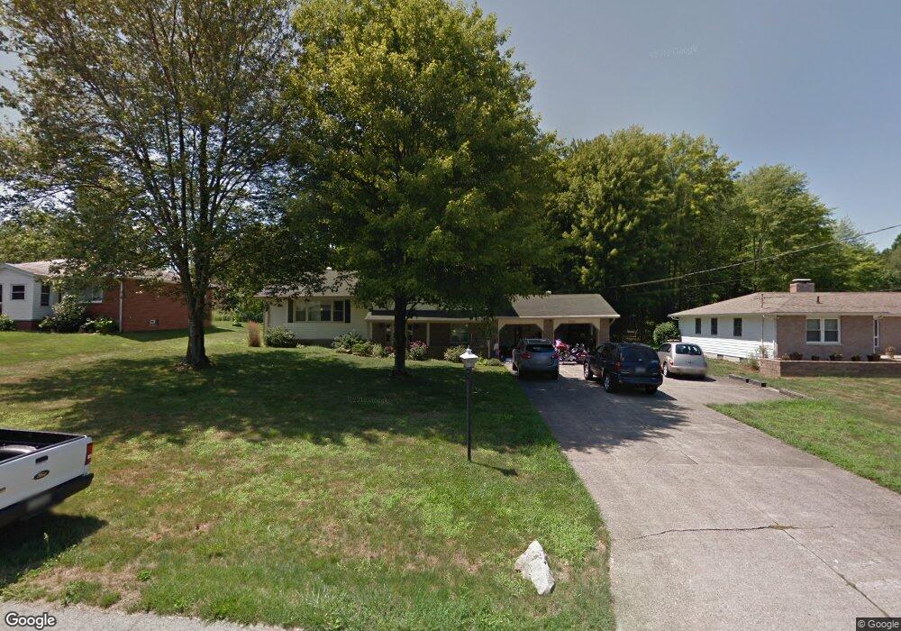
935 David Ln NE Brookfield, OH 44403
Estimated Value: $240,488 - $282,000
4
Beds
2
Baths
1,980
Sq Ft
$134/Sq Ft
Est. Value
About This Home
This home is located at 935 David Ln NE, Brookfield, OH 44403 and is currently estimated at $266,122, approximately $134 per square foot. 935 David Ln NE is a home located in Trumbull County with nearby schools including Brookfield Elementary School, Brookfield Middle School, and Brookfield High School.
Ownership History
Date
Name
Owned For
Owner Type
Purchase Details
Closed on
Jul 18, 2011
Sold by
Mullen James E and Mullen Mary Ellen
Bought by
Boyer Samuel D and Boyer Melanie
Current Estimated Value
Home Financials for this Owner
Home Financials are based on the most recent Mortgage that was taken out on this home.
Original Mortgage
$118,391
Outstanding Balance
$81,488
Interest Rate
4.52%
Mortgage Type
VA
Estimated Equity
$184,634
Purchase Details
Closed on
Jan 1, 1990
Bought by
James James E and James S
Create a Home Valuation Report for This Property
The Home Valuation Report is an in-depth analysis detailing your home's value as well as a comparison with similar homes in the area
Home Values in the Area
Average Home Value in this Area
Purchase History
| Date | Buyer | Sale Price | Title Company |
|---|---|---|---|
| Boyer Samuel D | $115,900 | Attorney | |
| James James E | -- | -- |
Source: Public Records
Mortgage History
| Date | Status | Borrower | Loan Amount |
|---|---|---|---|
| Open | Boyer Samuel D | $118,391 |
Source: Public Records
Tax History Compared to Growth
Tax History
| Year | Tax Paid | Tax Assessment Tax Assessment Total Assessment is a certain percentage of the fair market value that is determined by local assessors to be the total taxable value of land and additions on the property. | Land | Improvement |
|---|---|---|---|---|
| 2024 | $3,126 | $66,610 | $9,100 | $57,510 |
| 2023 | $3,126 | $66,610 | $9,100 | $57,510 |
| 2022 | $2,635 | $45,540 | $8,330 | $37,210 |
| 2021 | $2,473 | $45,540 | $8,330 | $37,210 |
| 2020 | $2,458 | $45,540 | $8,330 | $37,210 |
| 2019 | $2,368 | $40,920 | $7,700 | $33,220 |
| 2018 | $2,348 | $40,920 | $7,700 | $33,220 |
| 2017 | $2,345 | $40,920 | $7,700 | $33,220 |
| 2016 | $2,356 | $39,550 | $7,700 | $31,850 |
| 2015 | $2,360 | $39,550 | $7,700 | $31,850 |
| 2014 | $2,349 | $39,550 | $7,700 | $31,850 |
| 2013 | $2,446 | $41,930 | $7,700 | $34,230 |
Source: Public Records
Map
Nearby Homes
- 209 Wyngate Dr
- 7085 Sunnydell Dr
- 1212 State Route 7 NE
- 7086 Warren Sharon Rd
- 7290 Lee Rd NE
- 1370 Custer Orangeville Rd
- 872 Yankee Run Rd
- 887 State Route 7 SE
- 6130 Warren Sharon Rd
- 0 Albright McKay Rd NE
- 928 Bedford Rd
- 365 Brookfield Ave
- 6855 Stewart Sharon Rd
- 7182 Stewart Sharon Rd
- 1921 Custer Orangeville Rd
- 7440 Stewart Sharon Rd
- 7406 Thompson Sharpsville Rd NE
- 414 Wilson St
- 461 Grove St
- 609 Syme St
- 925 David Ln NE
- 945 David Ln NE
- 915 David Ln NE
- 955 David Ln NE
- 932 David Ln NE
- 942 David Ln NE
- 922 David Ln NE
- 952 David Ln NE
- 912 David Ln NE
- 905 David Ln NE
- 965 David Ln NE
- 902 David Ln NE
- 895 David Ln NE
- 892 David Ln NE
- 968 State Route 7 NE
- 885 David Ln NE
- 898 State Route 7 NE
- 882 David Ln NE
- 886 State Route 7 NE
- 872 David Ln NE