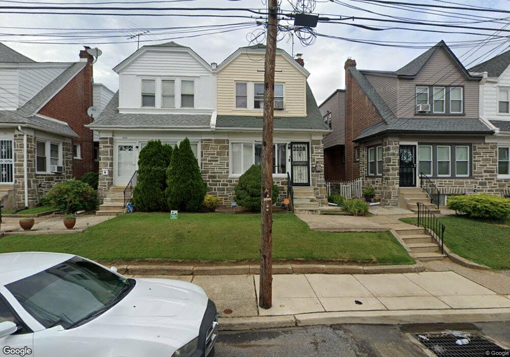
935 Duncan Ave Lansdowne, PA 19050
Estimated Value: $235,000 - $265,000
3
Beds
1
Bath
1,580
Sq Ft
$154/Sq Ft
Est. Value
About This Home
This home is located at 935 Duncan Ave, Lansdowne, PA 19050 and is currently estimated at $243,725, approximately $154 per square foot. 935 Duncan Ave is a home located in Delaware County with nearby schools including Evans Elementary School, Penn Wood Middle School, and Penn Wood High School - Cypress Street Campus.
Ownership History
Date
Name
Owned For
Owner Type
Purchase Details
Closed on
Jun 22, 2001
Sold by
Dellaratta Theresa E
Bought by
Rowe Ann Marie
Current Estimated Value
Home Financials for this Owner
Home Financials are based on the most recent Mortgage that was taken out on this home.
Original Mortgage
$77,080
Outstanding Balance
$29,361
Interest Rate
7.14%
Mortgage Type
Purchase Money Mortgage
Estimated Equity
$214,364
Create a Home Valuation Report for This Property
The Home Valuation Report is an in-depth analysis detailing your home's value as well as a comparison with similar homes in the area
Home Values in the Area
Average Home Value in this Area
Purchase History
| Date | Buyer | Sale Price | Title Company |
|---|---|---|---|
| Rowe Ann Marie | $82,000 | Commonwealth Land Title Ins |
Source: Public Records
Mortgage History
| Date | Status | Borrower | Loan Amount |
|---|---|---|---|
| Open | Rowe Ann Marie | $77,080 |
Source: Public Records
Tax History
| Year | Tax Paid | Tax Assessment Tax Assessment Total Assessment is a certain percentage of the fair market value that is determined by local assessors to be the total taxable value of land and additions on the property. | Land | Improvement |
|---|---|---|---|---|
| 2025 | $5,069 | $118,710 | $32,020 | $86,690 |
| 2024 | $5,069 | $118,710 | $32,020 | $86,690 |
| 2023 | $4,604 | $118,710 | $32,020 | $86,690 |
| 2022 | $4,390 | $118,710 | $32,020 | $86,690 |
| 2021 | $6,638 | $118,710 | $32,020 | $86,690 |
| 2020 | $4,264 | $68,280 | $18,470 | $49,810 |
| 2019 | $4,189 | $68,280 | $18,470 | $49,810 |
| 2018 | $4,131 | $68,280 | $0 | $0 |
| 2017 | $4,044 | $68,280 | $0 | $0 |
| 2016 | $375 | $68,280 | $0 | $0 |
| 2015 | $375 | $68,280 | $0 | $0 |
| 2014 | $375 | $68,280 | $0 | $0 |
Source: Public Records
Map
Nearby Homes
- 808 Serrill Ave
- 851 Bullock Ave
- 911 W Cobbs Creek Pkwy
- 825 Laurel Rd
- 813 Arbor Rd
- 734 Bullock Ave
- 6951 Chester Ave
- 6535 Windsor St
- 820 Fern St
- 6528 Windsor St
- 702 Cedar Ave
- 1781 S 65th St
- 908 Cedar Ave
- 1758 S Avondale St
- 912 Whitby Ave
- 334 Mulberry St
- 7033 Upland St
- 331 N 10th St
- 622 Yeadon Ave
- 7016 Upland St
- 937 Duncan Ave
- 933 Duncan Ave
- 939 Duncan Ave
- 931 Duncan Ave
- 941 Duncan Ave
- 929 Duncan Ave
- 943 Duncan Ave
- 927 Duncan Ave
- 932 Serrill Ave
- 934 Serrill Ave
- 930 Serrill Ave
- 936 Serrill Ave
- 945 Duncan Ave
- 925 Duncan Ave
- 928 Serrill Ave
- 938 Serrill Ave
- 926 Serrill Ave
- 940 Serrill Ave
- 947 Duncan Ave
- 923 Duncan Ave
Your Personal Tour Guide
Ask me questions while you tour the home.