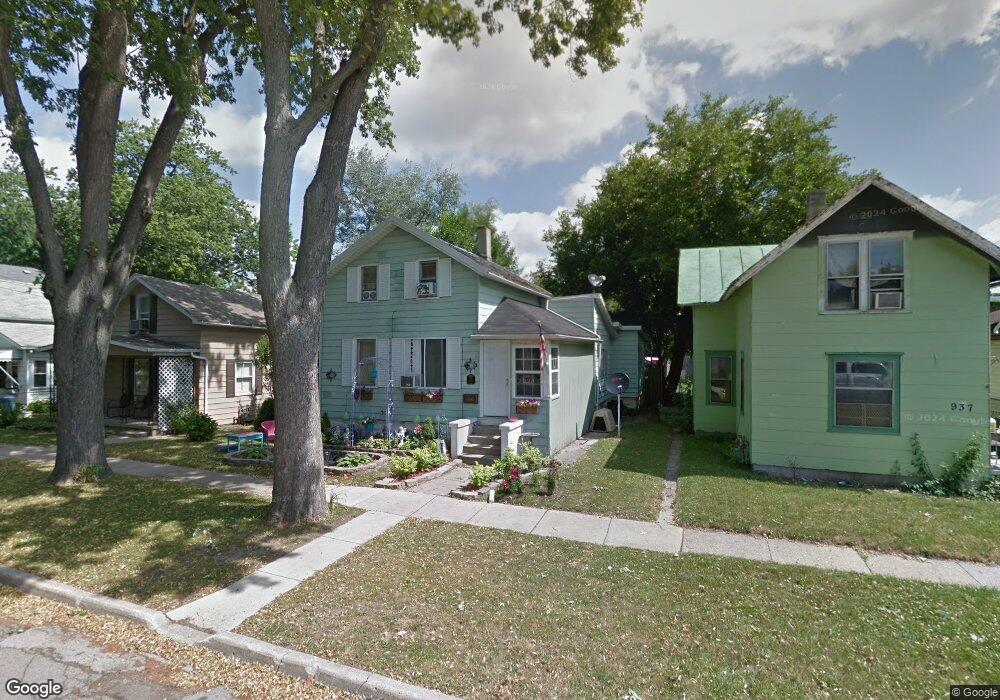
935 E 4th St Monroe, MI 48161
Central Monroe NeighborhoodEstimated Value: $105,000 - $148,000
3
Beds
2
Baths
1,225
Sq Ft
$108/Sq Ft
Est. Value
About This Home
This home is located at 935 E 4th St, Monroe, MI 48161 and is currently estimated at $132,591, approximately $108 per square foot. 935 E 4th St is a home located in Monroe County with nearby schools including Monroe High School, Trinity Lutheran School, and St Mary's Catholic Elementary School.
Ownership History
Date
Name
Owned For
Owner Type
Purchase Details
Closed on
Dec 13, 2019
Sold by
City Of Monroe
Bought by
Hamilton Dolly
Current Estimated Value
Purchase Details
Closed on
Oct 4, 2010
Sold by
Bails Steven Douglas and Bails Susan
Bought by
Hamilton Robert Allen and Hamilton Dolly C
Create a Home Valuation Report for This Property
The Home Valuation Report is an in-depth analysis detailing your home's value as well as a comparison with similar homes in the area
Home Values in the Area
Average Home Value in this Area
Purchase History
| Date | Buyer | Sale Price | Title Company |
|---|---|---|---|
| Hamilton Dolly | -- | None Available | |
| Hamilton Robert Allen | $55,000 | -- |
Source: Public Records
Tax History
| Year | Tax Paid | Tax Assessment Tax Assessment Total Assessment is a certain percentage of the fair market value that is determined by local assessors to be the total taxable value of land and additions on the property. | Land | Improvement |
|---|---|---|---|---|
| 2025 | $593 | $40,200 | $40,200 | $0 |
| 2024 | $566 | $33,750 | $0 | $0 |
| 2023 | $542 | $23,040 | $0 | $0 |
| 2022 | $742 | $23,040 | $0 | $0 |
| 2021 | $707 | $21,560 | $0 | $0 |
| 2020 | $649 | $18,930 | $0 | $0 |
| 2019 | $596 | $18,930 | $0 | $0 |
| 2018 | $579 | $15,990 | $0 | $0 |
| 2017 | $567 | $15,990 | $0 | $0 |
| 2016 | $554 | $14,160 | $0 | $0 |
| 2015 | $687 | $17,960 | $0 | $0 |
| 2014 | $687 | $17,960 | $0 | $0 |
| 2013 | -- | $21,880 | $0 | $0 |
Source: Public Records
Map
Nearby Homes
- 412 Winchester St
- 1126 E 4th St
- 527 E 5th St
- 404 Almyra Ave
- 926 E Front St
- 1270 E 1st St
- 430 Conant Ave
- 422 E 1st St
- 635 Laplaisance Rd
- 0 N Dixie Hwy Unit 50199380
- 0 N Dixie Hwy Unit 900
- 416 Humphrey St
- 15101 Laplaisance Rd
- 19 Scott St
- 921 May Dr
- 118 Michigan Ave
- 116 Maple Blvd
- 115 E 8th St
- 628 Washington St
- 1763 Oak St
Your Personal Tour Guide
Ask me questions while you tour the home.