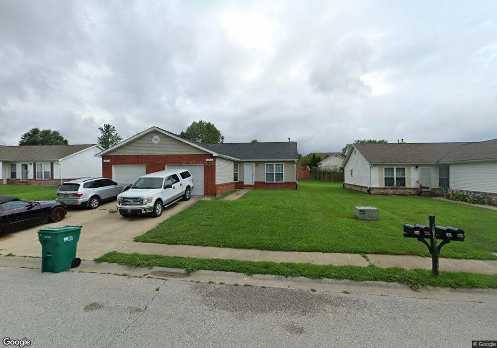
935 Evan Dr O Fallon, IL 62269
Estimated Value: $265,196 - $521,000
Studio
--
Bath
2,275
Sq Ft
$156/Sq Ft
Est. Value
About This Home
This home is located at 935 Evan Dr, O Fallon, IL 62269 and is currently estimated at $353,799, approximately $155 per square foot. 935 Evan Dr is a home located in St. Clair County with nearby schools including Evans Elementary School, Carriel Junior High School, and O'Fallon Township High School.
Ownership History
Date
Name
Owned For
Owner Type
Purchase Details
Closed on
Dec 28, 2012
Sold by
Ellerbrake Stephen A and Ellerbrake Kelly F
Bought by
Renaissance Limited Partnership
Current Estimated Value
Purchase Details
Closed on
Jul 8, 2003
Sold by
Ellerbrake Stephen A and Ellerbrake Kelly F
Bought by
Renaissance Lp
Home Financials for this Owner
Home Financials are based on the most recent Mortgage that was taken out on this home.
Original Mortgage
$75,000
Interest Rate
5.36%
Mortgage Type
Purchase Money Mortgage
Create a Home Valuation Report for This Property
The Home Valuation Report is an in-depth analysis detailing your home's value as well as a comparison with similar homes in the area
Home Values in the Area
Average Home Value in this Area
Purchase History
| Date | Buyer | Sale Price | Title Company |
|---|---|---|---|
| Renaissance Limited Partnership | -- | Benedick Title | |
| Renaissance Lp | -- | First County | |
| Ellerbrake Stephen A | -- | First County Title Co |
Source: Public Records
Mortgage History
| Date | Status | Borrower | Loan Amount |
|---|---|---|---|
| Previous Owner | Ellerbrake Stephen A | $75,000 |
Source: Public Records
Tax History
| Year | Tax Paid | Tax Assessment Tax Assessment Total Assessment is a certain percentage of the fair market value that is determined by local assessors to be the total taxable value of land and additions on the property. | Land | Improvement |
|---|---|---|---|---|
| 2024 | $5,340 | $73,099 | $11,641 | $61,458 |
| 2023 | $4,927 | $64,879 | $10,332 | $54,547 |
| 2022 | $4,660 | $59,648 | $9,499 | $50,149 |
| 2021 | $4,563 | $57,329 | $9,530 | $47,799 |
| 2020 | $4,532 | $54,266 | $9,021 | $45,245 |
| 2019 | $4,435 | $54,266 | $9,021 | $45,245 |
| 2018 | $4,321 | $52,690 | $8,759 | $43,931 |
| 2017 | $4,278 | $50,290 | $10,434 | $39,856 |
| 2016 | $4,266 | $49,116 | $10,190 | $38,926 |
| 2014 | $3,951 | $48,548 | $10,072 | $38,476 |
| 2013 | $4,980 | $60,659 | $10,069 | $50,590 |
Source: Public Records
Map
Nearby Homes
- 926 - 932 Georgetowne Dr
- 764 Granite Dr
- 519 Joy Dr
- 411 Donna Dr
- 747 Michael St Unit 66
- 756 Erika St Unit 49
- 317 Aladar Dr
- 309 Griffin Gate
- 321 Amy Dr
- 314 Joy Dr
- 521 Jeffrey Pine Ct
- 421 W Highway 50
- 716 W Highway 50
- 218 Evergreen Dr
- 903 Dale Ave
- 507 W 4th St
- 121 S Lawn Ave
- 119 Douglas St
- 262 Eagle Ridge
- 113 S Lawn Ave
Your Personal Tour Guide
Ask me questions while you tour the home.