Estimated Value: $142,000 - $196,000
2
Beds
3
Baths
2,516
Sq Ft
$66/Sq Ft
Est. Value
About This Home
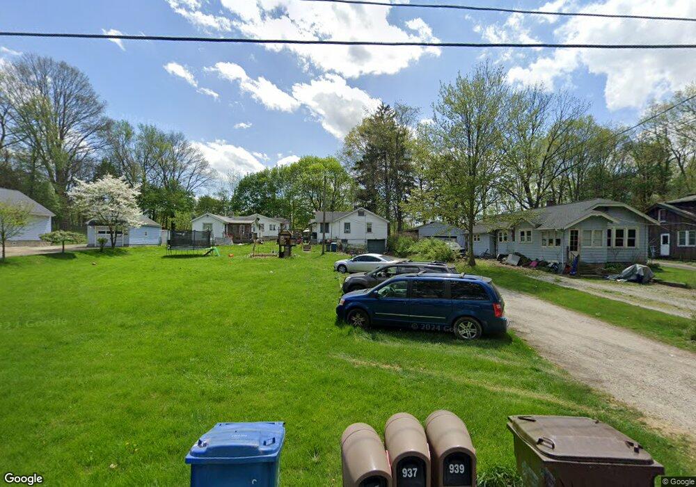
This home is located at 935 Ewart Rd Unit 939, Akron, OH 44312 and is currently estimated at $165,651, approximately $65 per square foot. 935 Ewart Rd Unit 939 is a home located in Summit County with nearby schools including Springfield High School and Summit Academy Akron Elementary School.
Ownership History
Date
Name
Owned For
Owner Type
Purchase Details
Closed on
Aug 23, 2002
Sold by
Carpenter William L and Carpenter Bonnie D
Bought by
Giusti George and Giusti Jeanie J
Current Estimated Value
Home Financials for this Owner
Home Financials are based on the most recent Mortgage that was taken out on this home.
Original Mortgage
$63,000
Interest Rate
6.75%
Mortgage Type
Purchase Money Mortgage
Purchase Details
Closed on
Jun 12, 1998
Sold by
Austin J H
Bought by
Carpenter William L and Carpenter Bonnie D
Create a Home Valuation Report for This Property
The Home Valuation Report is an in-depth analysis detailing your home's value as well as a comparison with similar homes in the area
Home Values in the Area
Average Home Value in this Area
Purchase History
| Date | Buyer | Sale Price | Title Company |
|---|---|---|---|
| Giusti George | -- | Falls Title Agency Inc | |
| Giusti George | $83,500 | Falls Title Agency Inc | |
| Carpenter William L | $83,500 | -- |
Source: Public Records
Mortgage History
| Date | Status | Borrower | Loan Amount |
|---|---|---|---|
| Previous Owner | Giusti George | $63,000 |
Source: Public Records
Tax History Compared to Growth
Tax History
| Year | Tax Paid | Tax Assessment Tax Assessment Total Assessment is a certain percentage of the fair market value that is determined by local assessors to be the total taxable value of land and additions on the property. | Land | Improvement |
|---|---|---|---|---|
| 2025 | $4,525 | $79,122 | $11,302 | $67,820 |
| 2024 | $4,525 | $79,122 | $11,302 | $67,820 |
| 2023 | $4,124 | $86,622 | $11,302 | $75,320 |
| 2022 | $4,124 | $62,406 | $8,131 | $54,275 |
| 2021 | $4,039 | $62,406 | $8,131 | $54,275 |
| 2020 | $2,803 | $62,410 | $8,130 | $54,280 |
| 2019 | $2,718 | $40,430 | $8,790 | $31,640 |
| 2018 | $2,697 | $40,430 | $8,790 | $31,640 |
| 2017 | $2,632 | $40,430 | $8,790 | $31,640 |
| 2016 | $2,632 | $37,880 | $8,790 | $29,090 |
| 2015 | $2,632 | $37,880 | $8,790 | $29,090 |
| 2014 | $2,601 | $37,880 | $8,790 | $29,090 |
| 2013 | $2,650 | $38,450 | $8,790 | $29,660 |
Source: Public Records
Map
Nearby Homes
- 788 N Oakwood Dr
- 2941 Old Home Rd
- 625 N Oakwood Dr
- 2809 McElwain Rd
- 2835 Farmdale Rd
- 847 Bristol Dr
- 754 Fettro Rd
- 1357 Shanafelt Ave
- 1002 Bookman Ave
- 3191 Castleton Ct
- 3134 Shelton Ct
- 1200 Abington Rd
- 1341 Valley Dr
- V/L Sanitarium Rd
- 2643 Monroe St
- 3394 Albrecht Ave
- 1376 Catherine Extension Ave
- 3474 Albrecht Ave
- 1011 Sunrise Way
- 2765 Oneida Ave