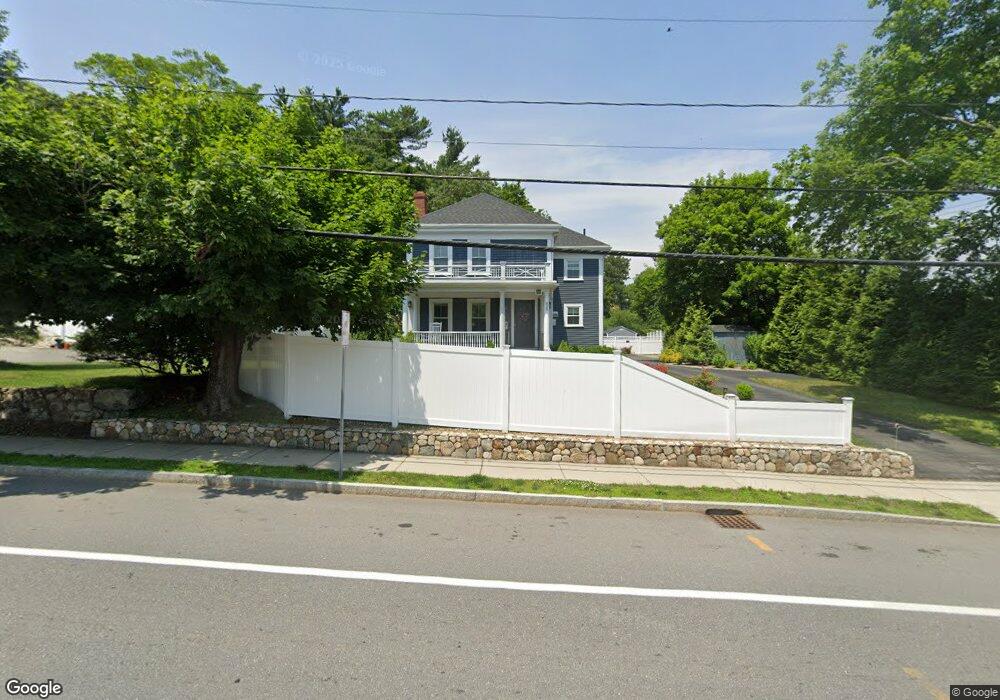
935 High St Westwood, MA 02090
Estimated Value: $722,000 - $1,275,000
4
Beds
2
Baths
2,076
Sq Ft
$422/Sq Ft
Est. Value
About This Home
This home is located at 935 High St, Westwood, MA 02090 and is currently estimated at $876,792, approximately $422 per square foot. 935 High St is a home located in Norfolk County with nearby schools including Westwood High School, St Catherine Of Siena School, and Xaverian Brothers High School.
Create a Home Valuation Report for This Property
The Home Valuation Report is an in-depth analysis detailing your home's value as well as a comparison with similar homes in the area
Home Values in the Area
Average Home Value in this Area
Tax History Compared to Growth
Tax History
| Year | Tax Paid | Tax Assessment Tax Assessment Total Assessment is a certain percentage of the fair market value that is determined by local assessors to be the total taxable value of land and additions on the property. | Land | Improvement |
|---|---|---|---|---|
| 2025 | $7,670 | $599,200 | $0 | $599,200 |
| 2024 | $7,354 | $574,100 | $0 | $574,100 |
| 2023 | $7,413 | $518,400 | $0 | $518,400 |
| 2022 | $7,772 | $524,100 | $0 | $524,100 |
Source: Public Records
Map
Nearby Homes
- 49 Fisher St
- 197 Hartford St
- 39 Bayley St
- 207 Hartford St
- 48 Lakeshore Dr
- 60 Warwick Dr
- 4 Shoestring Ln
- 36 Kingswood Rd
- 132 Thatcher St
- 95 Arcadia Rd
- 618 Nahatan St
- 17 Royal Ct
- 401 Sandy Valley Rd
- 151 Arcadia Rd
- 66 Crestwood Cir
- 140 Burgess Ave
- 470 Nahatan St
- 20 Longmeadow Dr
- 90 Blueberry Ln
- 386 Winter St
- 935 High St Unit 935
- 931 High St Unit B
- 931 High St Unit A
- 931 High St
- 931 High St Unit 1
- 919 High St
- 923 High St
- 921 High St
- 911-929 High St Unit 4
- 943 High St
- 943 High St Unit 1
- 943 High St Unit 943
- 911 High St
- 915 High St Unit 2
- 915 High St
- 955 High St
- 932 High St Unit 932
- 930 High St
- 922 High St
- 6 Fisher St