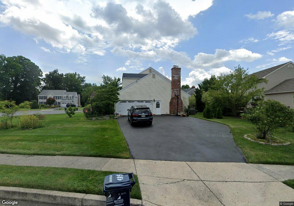
935 Mayfield Ln Chadds Ford, PA 19317
Estimated Value: $758,892 - $1,042,000
5
Beds
3
Baths
3,520
Sq Ft
$247/Sq Ft
Est. Value
About This Home
This home is located at 935 Mayfield Ln, Chadds Ford, PA 19317 and is currently estimated at $869,723, approximately $247 per square foot. 935 Mayfield Ln is a home located in Delaware County with nearby schools including Garnet Valley High School, Concord Christian Academy, and The Pilot School.
Ownership History
Date
Name
Owned For
Owner Type
Purchase Details
Closed on
Aug 16, 2009
Sold by
Clarke James J and Clarke Kanako
Bought by
Katpadi Sudhindra K and Katpadi Padmaja
Current Estimated Value
Home Financials for this Owner
Home Financials are based on the most recent Mortgage that was taken out on this home.
Original Mortgage
$421,245
Outstanding Balance
$274,093
Interest Rate
5.17%
Mortgage Type
FHA
Estimated Equity
$595,630
Purchase Details
Closed on
Dec 28, 1998
Sold by
Dumas Harry J and Dumas Margaret D
Bought by
Clarke James J and Clarke Kanako
Home Financials for this Owner
Home Financials are based on the most recent Mortgage that was taken out on this home.
Original Mortgage
$205,350
Interest Rate
6.8%
Mortgage Type
Purchase Money Mortgage
Create a Home Valuation Report for This Property
The Home Valuation Report is an in-depth analysis detailing your home's value as well as a comparison with similar homes in the area
Home Values in the Area
Average Home Value in this Area
Purchase History
| Date | Buyer | Sale Price | Title Company |
|---|---|---|---|
| Katpadi Sudhindra K | $460,000 | None Available | |
| Clarke James J | $256,700 | Commonwealth Land Title Ins |
Source: Public Records
Mortgage History
| Date | Status | Borrower | Loan Amount |
|---|---|---|---|
| Open | Katpadi Sudhindra K | $421,245 | |
| Previous Owner | Clarke James J | $205,350 | |
| Closed | Clarke James J | $25,650 |
Source: Public Records
Tax History Compared to Growth
Tax History
| Year | Tax Paid | Tax Assessment Tax Assessment Total Assessment is a certain percentage of the fair market value that is determined by local assessors to be the total taxable value of land and additions on the property. | Land | Improvement |
|---|---|---|---|---|
| 2025 | $11,253 | $480,290 | $122,550 | $357,740 |
| 2024 | $11,253 | $480,290 | $122,550 | $357,740 |
| 2023 | $10,993 | $480,290 | $122,550 | $357,740 |
| 2022 | $10,873 | $480,290 | $122,550 | $357,740 |
| 2021 | $18,144 | $480,290 | $122,550 | $357,740 |
| 2020 | $9,517 | $233,450 | $60,080 | $173,370 |
| 2019 | $9,381 | $233,450 | $60,080 | $173,370 |
| 2018 | $9,238 | $233,450 | $0 | $0 |
| 2017 | $9,061 | $233,450 | $0 | $0 |
| 2016 | $1,281 | $233,450 | $0 | $0 |
| 2015 | $1,307 | $233,450 | $0 | $0 |
| 2014 | $1,281 | $233,450 | $0 | $0 |
Source: Public Records
Map
Nearby Homes
- 904 Quarter Mile Post
- 312 Winterset Rd
- 920 Lamberhurst Close
- 514 Harness Way
- 1806 Half Mile Post S
- 523 Canter Rd
- 919 Alpha Rd Unit 59
- 20 Winterset Rd
- 28 Winterset Rd
- 34 Winterset Rd Unit 11
- 525 Canter Rd
- 31 N Ellis Rd Unit A031
- 1004 Sulky Rd Unit 225
- 136A State Line Rd
- 43 Sharpley Dr
- 39 Sturbridge Dr
- 2706 Ebright Rd
- 32 Sturbridge Dr
- 4 Rigby Ct
- 3671 Marian Dr
- 3726 Rotherfield Ln
- 3730 Rotherfield Ln
- 930 Mayfield Ln
- 3701 Knole Ln
- 3708 Knole Ln
- 926 Mayfield Ln
- 3712 Knole Ln
- 3704 Knole Ln
- 3736 Rotherfield Ln
- 3716 Knole Ln
- 929 Mayfield Ln
- 3719 Knole Ln
- 920 Mayfield Ln
- 3731 Rotherfield Ln
- 3735 Rotherfield Ln
- 3740 Rotherfield Ln
- 915 Mayfield Ln
- 904 Heathfield Close
- 3720 Knole Ln
- 3741 Rotherfield Ln