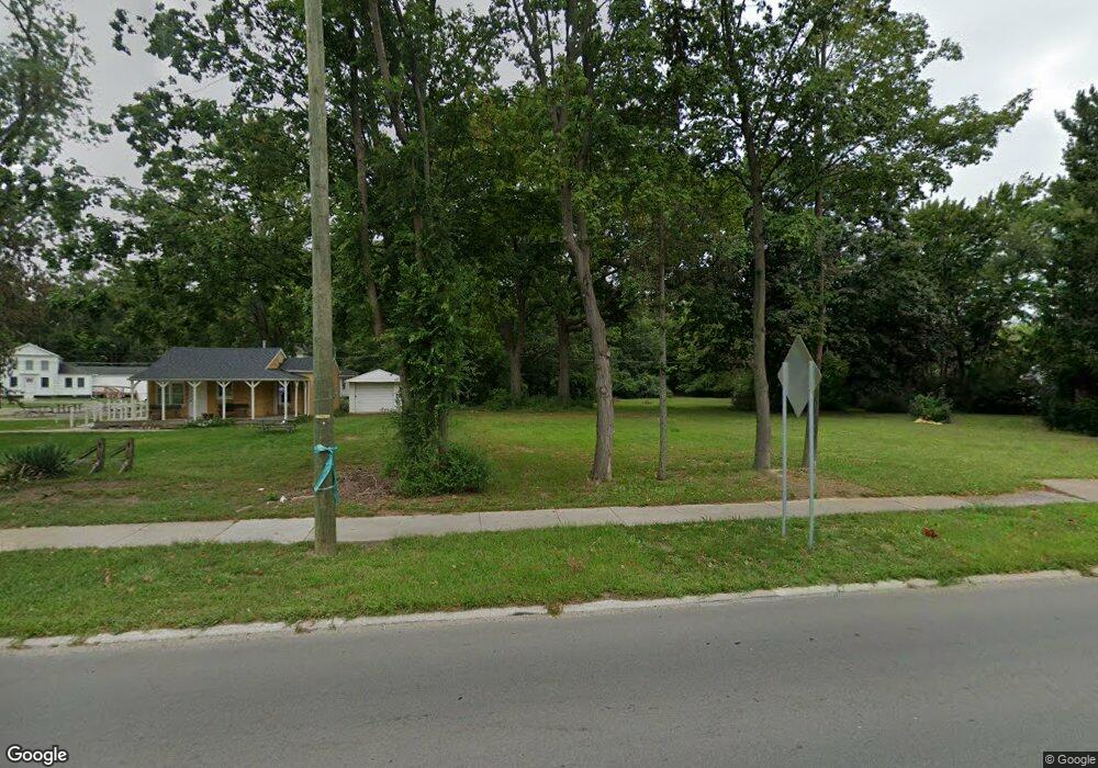
935 N Wayne Rd Westland, MI 48185
Estimated Value: $380,000
--
Bed
1
Bath
923
Sq Ft
$412/Sq Ft
Est. Value
About This Home
This home is located at 935 N Wayne Rd, Westland, MI 48185 and is currently estimated at $380,000, approximately $411 per square foot. 935 N Wayne Rd is a home located in Wayne County with nearby schools including Wildwood Elementary School, Marshall Upper Elementary School, and Adlai Stevenson Middle School.
Ownership History
Date
Name
Owned For
Owner Type
Purchase Details
Closed on
Jun 24, 2021
Sold by
Downtown Development Authority
Bought by
City Of Westland
Current Estimated Value
Purchase Details
Closed on
Dec 20, 2018
Sold by
Uniland Corporation
Bought by
Downtown Development Authority
Home Financials for this Owner
Home Financials are based on the most recent Mortgage that was taken out on this home.
Original Mortgage
$100,000
Interest Rate
4.8%
Mortgage Type
New Conventional
Purchase Details
Closed on
Aug 1, 2005
Sold by
Mirage Development Llc
Bought by
Uniland Corp
Create a Home Valuation Report for This Property
The Home Valuation Report is an in-depth analysis detailing your home's value as well as a comparison with similar homes in the area
Home Values in the Area
Average Home Value in this Area
Purchase History
| Date | Buyer | Sale Price | Title Company |
|---|---|---|---|
| City Of Westland | -- | None Available | |
| Downtown Development Authority | $225,000 | Ata National Title Group Llc | |
| Uniland Corp | -- | First Michigan Title Inc |
Source: Public Records
Mortgage History
| Date | Status | Borrower | Loan Amount |
|---|---|---|---|
| Previous Owner | Downtown Development Authority | $100,000 |
Source: Public Records
Tax History Compared to Growth
Tax History
| Year | Tax Paid | Tax Assessment Tax Assessment Total Assessment is a certain percentage of the fair market value that is determined by local assessors to be the total taxable value of land and additions on the property. | Land | Improvement |
|---|---|---|---|---|
| 2025 | $242 | $0 | $0 | $0 |
| 2024 | $242 | $0 | $0 | $0 |
| 2023 | $228 | $0 | $0 | $0 |
| 2022 | $235 | $0 | $0 | $0 |
| 2021 | $228 | $0 | $0 | $0 |
| 2019 | $215 | $0 | $0 | $0 |
| 2018 | $3,515 | $62,900 | $0 | $0 |
| 2017 | $1,378 | $60,100 | $0 | $0 |
| 2016 | $5,011 | $80,200 | $0 | $0 |
| 2015 | $6,401 | $66,710 | $0 | $0 |
| 2013 | $6,556 | $66,470 | $0 | $0 |
| 2012 | $5,004 | $66,590 | $0 | $0 |
Source: Public Records
Map
Nearby Homes
- 35228 Rosslyn St
- 639 N Harvey St
- 35209 Sheridan St
- 624 N Parent St
- 1309 Shoemaker Dr
- 788 N Linville St
- 1654 Shoemaker Dr Unit 145
- 1605 N Hanlon St
- 35052 Cherry Hill Rd
- 1680 N Hanlon St
- 34610 School St
- 540 Dartmouth Crescent Ct
- 34752 John Hauk St
- 34238 Sheridan St
- 35833 Ford Rd
- 34241 Marquette St
- 35608 Somerset St
- 34802 Pardo St
- 344 S Christine
- 284 S Byfield St
- 1003 N Wayne Rd
- 926 N Wayne Rd Unit Bldg-Unit
- 926 N Wayne Rd
- 938 N Wayne Rd
- 1014 N Wayne Rd
- 1020 N Wayne Rd
- 35352 Sheridan St
- 35347 Barton St
- 35323 Barton St
- 35328 Sheridan St
- 1045 N Wayne Rd
- 823 N Wayne Rd
- 35330 Barton St
- 35311 Barton St
- 35318 Barton St
- 815 N Wayne Rd
- 35351 Sheridan St
- 35310 Sheridan St
- 35335 Sheridan St
- 35261 Barton St