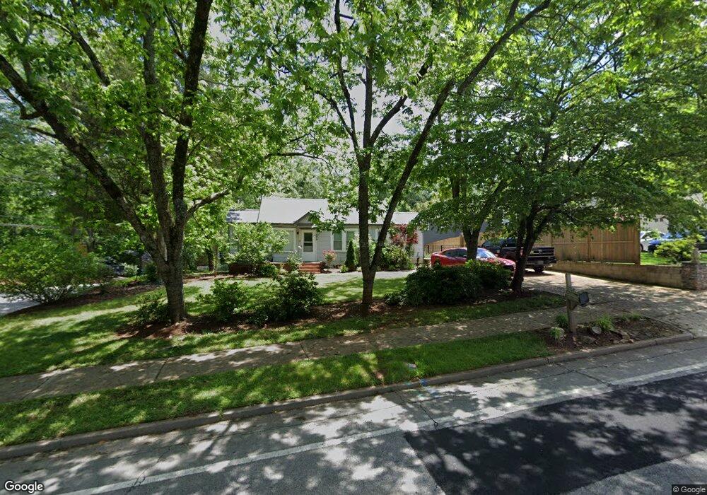
935 Rome St Carrollton, GA 30117
Estimated Value: $229,748 - $268,000
3
Beds
1
Bath
1,483
Sq Ft
$164/Sq Ft
Est. Value
About This Home
This home is located at 935 Rome St, Carrollton, GA 30117 and is currently estimated at $243,687, approximately $164 per square foot. 935 Rome St is a home located in Carroll County with nearby schools including Carrollton Elementary School, Carrollton Upper Elementary School, and Carrollton Middle School.
Ownership History
Date
Name
Owned For
Owner Type
Purchase Details
Closed on
Sep 8, 2015
Sold by
Synovus Bank
Bought by
Dmi & Associates Llc
Current Estimated Value
Purchase Details
Closed on
Aug 4, 2015
Sold by
Adams William Randal
Bought by
Synovus Bank
Purchase Details
Closed on
Apr 27, 2007
Sold by
Not Provided
Bought by
Adams Connie Sue and Adams William R
Purchase Details
Closed on
Jul 8, 2005
Sold by
Porter Jerry Wailand
Bought by
Porter Lillie K and Porter Jerry Wailand
Purchase Details
Closed on
May 25, 1994
Bought by
Porter Lemon Grover
Create a Home Valuation Report for This Property
The Home Valuation Report is an in-depth analysis detailing your home's value as well as a comparison with similar homes in the area
Home Values in the Area
Average Home Value in this Area
Purchase History
| Date | Buyer | Sale Price | Title Company |
|---|---|---|---|
| Dmi & Associates Llc | $40,000 | -- | |
| Synovus Bank | $52,000 | -- | |
| Adams Connie Sue | -- | -- | |
| Porter Lillie K | -- | -- | |
| Porter Lemon Grover | -- | -- |
Source: Public Records
Tax History Compared to Growth
Tax History
| Year | Tax Paid | Tax Assessment Tax Assessment Total Assessment is a certain percentage of the fair market value that is determined by local assessors to be the total taxable value of land and additions on the property. | Land | Improvement |
|---|---|---|---|---|
| 2024 | $2,002 | $73,267 | $28,587 | $44,680 |
| 2023 | $2,002 | $69,328 | $28,588 | $40,740 |
| 2022 | $1,218 | $41,715 | $19,046 | $22,669 |
| 2021 | $985 | $33,750 | $14,115 | $19,635 |
| 2020 | $918 | $31,414 | $14,115 | $17,299 |
| 2019 | $895 | $30,331 | $14,115 | $16,216 |
| 2018 | $866 | $28,925 | $14,115 | $14,810 |
| 2017 | $870 | $28,925 | $14,115 | $14,810 |
| 2016 | $484 | $32,277 | $17,867 | $14,410 |
| 2015 | $755 | $24,460 | $10,800 | $13,660 |
| 2014 | $635 | $24,460 | $10,800 | $13,660 |
Source: Public Records
Map
Nearby Homes
- 777 College St
- 103 W Chandler St
- 541 N White St Unit 12
- 541 N White St
- 123 Cedar Park Way
- 110 Town Walk Ln
- 405 N Park St
- 108 Springwood Dr
- 654 King St
- 0 Ward St Unit 10390499
- TRACT1-7 Us Highway 27
- 205 Johnson Ave Unit 231
- 111 Lakeview Dr
- 123 Autumn Glen Dr
- 250 Riversong Rd
- 250 Riversong Rd Unit 55
- 201 Stewart St
- 120 Stewart St
- 322 Cedar St
- 816 Stewart St