935 Simpson St Plymouth, MI 48170
Estimated Value: $186,015 - $284,000
2
Beds
1
Bath
864
Sq Ft
$265/Sq Ft
Est. Value
About This Home
This home is located at 935 Simpson St, Plymouth, MI 48170 and is currently estimated at $229,254, approximately $265 per square foot. 935 Simpson St is a home located in Wayne County with nearby schools including Canton High School, Smith Elementary School, and West Middle School.
Ownership History
Date
Name
Owned For
Owner Type
Purchase Details
Closed on
Jan 28, 2021
Sold by
Potter James D and Potter Michele
Bought by
Potter James D and Potter Michele R
Current Estimated Value
Purchase Details
Closed on
Feb 3, 2010
Sold by
Laing Thomas W and Laing Carol L
Bought by
Potter James D
Purchase Details
Closed on
Jul 1, 2009
Sold by
Schultz Thelma
Bought by
Laing Thomas W
Create a Home Valuation Report for This Property
The Home Valuation Report is an in-depth analysis detailing your home's value as well as a comparison with similar homes in the area
Home Values in the Area
Average Home Value in this Area
Purchase History
| Date | Buyer | Sale Price | Title Company |
|---|---|---|---|
| Potter James D | -- | None Available | |
| Potter Michele R | -- | None Listed On Document | |
| Potter James D | $55,500 | 1St Security Title Agency In | |
| Laing Thomas W | $33,002 | None Available |
Source: Public Records
Tax History Compared to Growth
Tax History
| Year | Tax Paid | Tax Assessment Tax Assessment Total Assessment is a certain percentage of the fair market value that is determined by local assessors to be the total taxable value of land and additions on the property. | Land | Improvement |
|---|---|---|---|---|
| 2025 | $1,370 | $70,700 | $0 | $0 |
| 2024 | $1,370 | $68,600 | $0 | $0 |
| 2023 | $1,334 | $63,300 | $0 | $0 |
| 2022 | $1,414 | $56,300 | $0 | $0 |
| 2021 | $1,370 | $56,300 | $0 | $0 |
| 2020 | $1,367 | $57,400 | $0 | $0 |
| 2019 | $1,203 | $53,800 | $0 | $0 |
| 2018 | $1,169 | $47,600 | $0 | $0 |
| 2017 | $248 | $47,600 | $0 | $0 |
| 2016 | $1,273 | $47,500 | $0 | $0 |
| 2015 | $2,916 | $40,240 | $0 | $0 |
| 2013 | $2,825 | $28,320 | $0 | $0 |
| 2011 | -- | $28,140 | $0 | $0 |
Source: Public Records
Map
Nearby Homes
- 1338 S Harvey St
- 1078 Simpson St
- 844 Ross St
- 1125 Sutherland St
- 9405 Northern Ave
- 775 Deer Ct Unit 104
- 1199 S Sheldon Rd
- 9205 Rocker Ave
- 770 Deer St Unit 204
- 9453 Brookline Ave
- 9264 Brookline Ave
- 638 S Harvey St
- 543 Deer St
- 44571 Clare Blvd
- 44736 Lynn Dr
- 44703 Erin Dr
- 8830 Northern Ave
- 9060 N Sheldon Rd
- 44750 Erin Dr Unit 40
- 660 Maple St
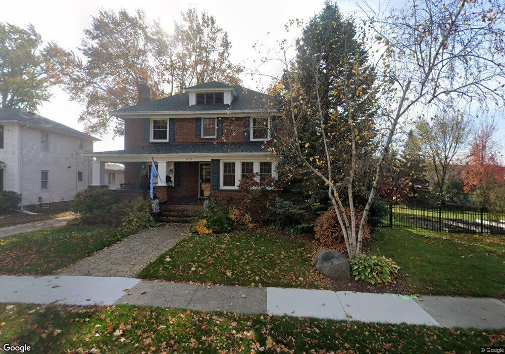
- 917 Simpson St
- 899 Simpson St
- 881 Simpson St
- 863 Simpson St
- 918 Simpson St
- 882 Byron St
- 936 Simpson St
- 1311 S Harvey St
- 1337 S Harvey St
- 912 Simpson St
- 956 Simpson St
- 866 Byron St
- 882 Simpson St
- 845 Simpson St
- 1293 S Harvey St
- 866 Simpson St
- 1273 S Harvey St
- 844 Simpson St
- 1257 S Harvey St
- 1326 S Main St