9350 Opal Chain Columbia, MD 21045
Owen Brown NeighborhoodEstimated Value: $527,312 - $571,000
Studio
3
Baths
1,856
Sq Ft
$296/Sq Ft
Est. Value
About This Home
This home is located at 9350 Opal Chain, Columbia, MD 21045 and is currently estimated at $549,828, approximately $296 per square foot. 9350 Opal Chain is a home located in Howard County with nearby schools including Talbott Springs Elementary School, Lake Elkhorn Middle School, and Atholton High School.
Ownership History
Date
Name
Owned For
Owner Type
Purchase Details
Closed on
Sep 28, 2023
Sold by
Yeaton Lawrence A and Yeaton Laureline E
Bought by
Lawrence A Yeaton Revocable Trust and Yeaton
Current Estimated Value
Purchase Details
Closed on
Mar 22, 1985
Sold by
Bowie Joseph A and Bowie Wife
Bought by
Yeaton Lawrence A and Yeaton Laureline E Wf
Home Financials for this Owner
Home Financials are based on the most recent Mortgage that was taken out on this home.
Original Mortgage
$31,000
Interest Rate
13.24%
Create a Home Valuation Report for This Property
The Home Valuation Report is an in-depth analysis detailing your home's value as well as a comparison with similar homes in the area
Home Values in the Area
Average Home Value in this Area
Purchase History
| Date | Buyer | Sale Price | Title Company |
|---|---|---|---|
| Lawrence A Yeaton Revocable Trust | -- | None Listed On Document | |
| Yeaton Lawrence A | $106,000 | -- |
Source: Public Records
Mortgage History
| Date | Status | Borrower | Loan Amount |
|---|---|---|---|
| Previous Owner | Yeaton Lawrence A | $31,000 |
Source: Public Records
Tax History
| Year | Tax Paid | Tax Assessment Tax Assessment Total Assessment is a certain percentage of the fair market value that is determined by local assessors to be the total taxable value of land and additions on the property. | Land | Improvement |
|---|---|---|---|---|
| 2025 | $6,616 | $456,167 | $0 | $0 |
| 2024 | $6,616 | $430,233 | $0 | $0 |
| 2023 | $6,220 | $404,300 | $183,300 | $221,000 |
| 2022 | $6,051 | $395,367 | $0 | $0 |
| 2021 | $5,751 | $386,433 | $0 | $0 |
| 2020 | $5,751 | $377,500 | $125,100 | $252,400 |
| 2019 | $5,495 | $359,367 | $0 | $0 |
| 2018 | $4,962 | $341,233 | $0 | $0 |
| 2017 | $4,719 | $323,100 | $0 | $0 |
| 2016 | $981 | $323,100 | $0 | $0 |
| 2015 | $981 | $323,100 | $0 | $0 |
| 2014 | $957 | $346,600 | $0 | $0 |
Source: Public Records
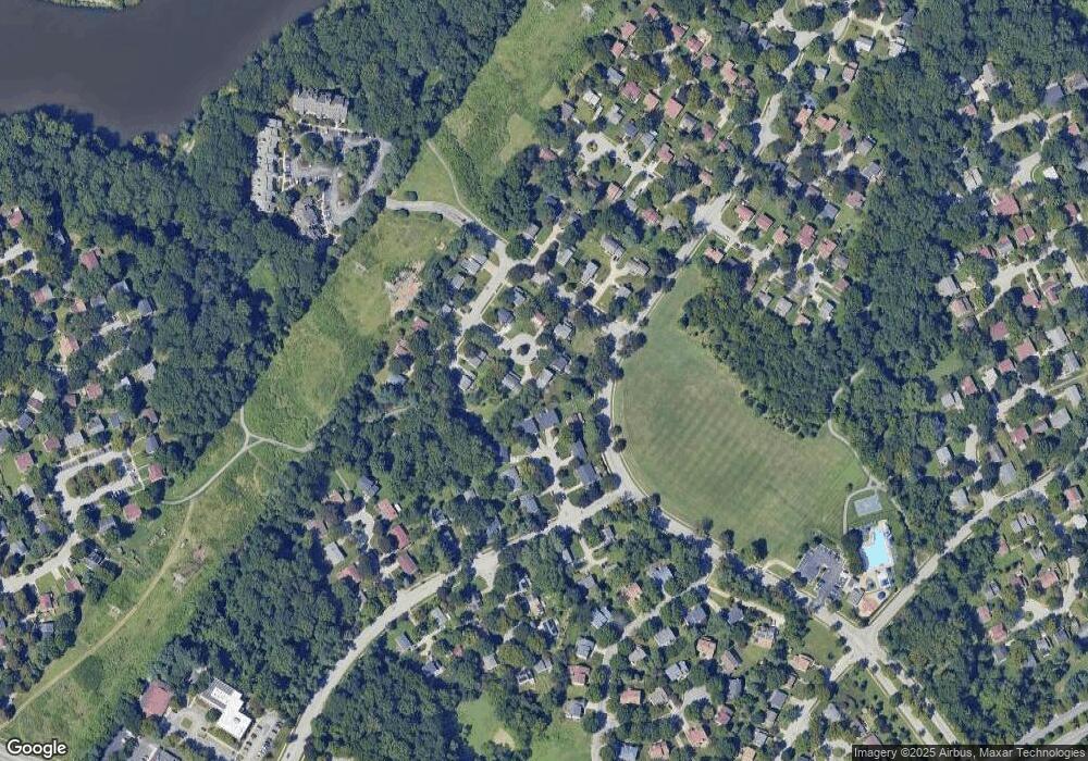
Map
Nearby Homes
- 9348 Windbell Way
- 9226 Curtis Dr
- 9503 Hickory Limb Unit 302
- 7333 Better Hours Ct
- 7329 Better Hours Ct
- 7120 Winter Rose Path
- 7230 Lasting Light Way
- 7229 Harbor Ln
- 7055 Melting Shadows Ln
- 7151 Natures Rd
- 7489 Broken Staff
- 7346 Hidden Cove
- 7358 Kerry Hill Ct
- 7414 Sweet Clover
- 7353 Broken Staff
- 7356 Broken Staff
- 6589 Robin Song
- 7038 Knighthood Ln
- 7388 Hickory Log Cir
- 7035 Knighthood Ln
- 7014 Folded Palm
- 9351 Opal Chain
- 9346 Opal Chain
- 7015 Folded Palm
- 9347 Opal Chain
- 9343 Opal Chain
- 9345 Windbell Way
- 7006 Folded Palm
- 9349 Windbell Way
- 9339 Opal Chain
- 7011 Folded Palm
- 9335 Windbell Way
- 7007 Folded Palm
- 7002 Folded Palm
- 9318 Hickory Limb
- 9330 Hickory Limb
- 9355 Windbell Way
- 7003 Folded Palm
- 9334 Hickory Limb
- 9344 Windbell Way
Your Personal Tour Guide
Ask me questions while you tour the home.