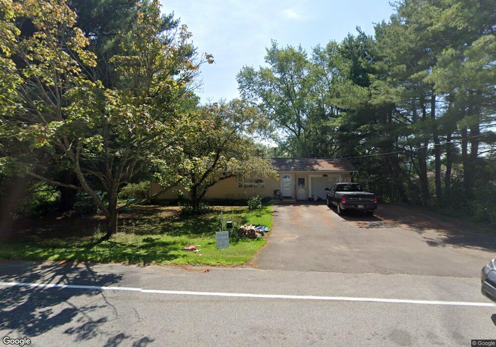
9350 S Protection Rd Holland, NY 14080
Estimated Value: $224,533 - $242,000
3
Beds
1
Bath
1,080
Sq Ft
$219/Sq Ft
Est. Value
About This Home
This home is located at 9350 S Protection Rd, Holland, NY 14080 and is currently estimated at $236,633, approximately $219 per square foot. 9350 S Protection Rd is a home located in Erie County with nearby schools including Harold O. Brumsted Elementary School, Holland Middle School, and Holland High School.
Ownership History
Date
Name
Owned For
Owner Type
Purchase Details
Closed on
Nov 24, 2004
Sold by
Eisenhauer Wayne A
Bought by
Molenda Andrew J and Molenda Leanne A
Current Estimated Value
Home Financials for this Owner
Home Financials are based on the most recent Mortgage that was taken out on this home.
Original Mortgage
$99,216
Outstanding Balance
$49,721
Interest Rate
5.74%
Mortgage Type
FHA
Estimated Equity
$186,912
Purchase Details
Closed on
Apr 30, 2001
Sold by
Eisenhauer Wayne A
Bought by
Eisenhauer Wayne A and Eisenhauer Carla L
Create a Home Valuation Report for This Property
The Home Valuation Report is an in-depth analysis detailing your home's value as well as a comparison with similar homes in the area
Home Values in the Area
Average Home Value in this Area
Purchase History
| Date | Buyer | Sale Price | Title Company |
|---|---|---|---|
| Molenda Andrew J | $100,000 | -- | |
| Eisenhauer Wayne A | -- | -- |
Source: Public Records
Mortgage History
| Date | Status | Borrower | Loan Amount |
|---|---|---|---|
| Open | Molenda Andrew J | $99,216 |
Source: Public Records
Tax History Compared to Growth
Tax History
| Year | Tax Paid | Tax Assessment Tax Assessment Total Assessment is a certain percentage of the fair market value that is determined by local assessors to be the total taxable value of land and additions on the property. | Land | Improvement |
|---|---|---|---|---|
| 2024 | $3,664 | $109,800 | $11,100 | $98,700 |
| 2023 | $3,396 | $109,800 | $11,100 | $98,700 |
| 2022 | $3,336 | $109,800 | $11,100 | $98,700 |
| 2021 | $3,294 | $109,800 | $11,100 | $98,700 |
| 2020 | $3,077 | $109,800 | $11,100 | $98,700 |
| 2019 | $2,672 | $104,000 | $11,100 | $92,900 |
| 2018 | $2,785 | $104,000 | $11,100 | $92,900 |
| 2017 | $1,490 | $104,000 | $11,100 | $92,900 |
| 2016 | $2,715 | $104,000 | $11,100 | $92,900 |
| 2015 | -- | $104,000 | $11,100 | $92,900 |
| 2014 | -- | $104,000 | $11,100 | $92,900 |
Source: Public Records
Map
Nearby Homes
- 164 Capitol Heights
- 9189 Burlingham Rd
- 22 Hillcrest Dr
- 131 Pearl St
- 94 N Main St
- 120 N Main St
- 13271 Geer Rd
- 9954 Vermont Hill Rd
- 9853 Warner Gulf Rd
- 0 E Holland Rd Unit B1628402
- 13373 Day Rd
- 403 N Main St
- 13431 Ward Rd
- 11303 Holland Glenwood Rd
- 11586 Partridge Rd
- 9681 Wagner Rd
- 11799 Matteson Corners Rd
- 11669 N Canada St
- Lot #3 Phillips Rd
- Lot #4 Phillips Rd
- 9328 S Protection Rd
- 9358 S Protection Rd
- 9335 S Protection Rd
- 9355 S Protection Rd
- 0 S Protection Rd
- 9362 S Protection Rd
- 9331 S Protection Rd
- 9290 Olean Rd
- 9386 S Protection Rd
- 9352 Olean Rd
- 9371 S Protection Rd
- 9392 S Protection Rd
- 9385 S Protection Rd
- 9354 Olean Rd
- 9403 S Protection Rd
- 9270 N Protection Rd
- 9411 S Protection Rd
- 9256 N Protection Rd
- 9430 S Protection Rd
- 9421 S Protection Rd