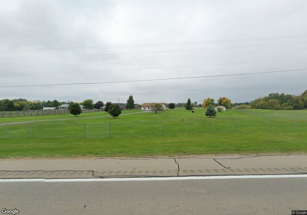
9350 Spring Arbor Rd Spring Arbor, MI 49283
Estimated Value: $212,000 - $420,000
Studio
--
Bath
1,498
Sq Ft
$208/Sq Ft
Est. Value
About This Home
This home is located at 9350 Spring Arbor Rd, Spring Arbor, MI 49283 and is currently estimated at $311,168, approximately $207 per square foot. 9350 Spring Arbor Rd is a home located in Jackson County with nearby schools including Western High School.
Ownership History
Date
Name
Owned For
Owner Type
Purchase Details
Closed on
Sep 1, 2016
Sold by
Garrison Dale L
Bought by
Garrison Deborah
Current Estimated Value
Purchase Details
Closed on
Feb 1, 1994
Bought by
Garrison
Create a Home Valuation Report for This Property
The Home Valuation Report is an in-depth analysis detailing your home's value as well as a comparison with similar homes in the area
Home Values in the Area
Average Home Value in this Area
Purchase History
| Date | Buyer | Sale Price | Title Company |
|---|---|---|---|
| Garrison Deborah | -- | None Available | |
| Garrison | $116,000 | -- |
Source: Public Records
Tax History
| Year | Tax Paid | Tax Assessment Tax Assessment Total Assessment is a certain percentage of the fair market value that is determined by local assessors to be the total taxable value of land and additions on the property. | Land | Improvement |
|---|---|---|---|---|
| 2025 | $2,962 | $162,200 | $0 | $0 |
| 2024 | $18 | $142,300 | $0 | $0 |
| 2023 | $1,758 | $130,800 | $0 | $0 |
| 2022 | $2,788 | $128,000 | $0 | $0 |
| 2021 | $2,639 | $121,840 | $0 | $0 |
| 2020 | $2,607 | $99,440 | $0 | $0 |
| 2019 | $2,479 | $92,890 | $0 | $0 |
| 2018 | $2,470 | $87,580 | $11,430 | $76,150 |
| 2017 | $2,339 | $86,100 | $0 | $0 |
| 2016 | $1,493 | $84,930 | $84,930 | $0 |
| 2015 | $61,356 | $73,670 | $73,670 | $0 |
| 2014 | $61,356 | $64,960 | $64,960 | $0 |
| 2013 | -- | $64,960 | $64,960 | $0 |
Source: Public Records
Map
Nearby Homes
- 68 Dickens St
- 2635 S Dearing Rd
- 2625 S Dearing Rd
- 7315 King Rd
- V/L S Dearing Rd Unit 40 Acres Vacant Land
- 7969 Brandon Dr
- 2503 Milford Rd
- 6728 King Rd
- 7870 Sears Rd
- 0 S Parma Rd Unit 26002151
- 0 S Parma Rd Unit 26002152
- 1570 Chapel Rd
- 20 AC VL Sears Rd
- 6820 Bowerman Rd
- 5454 Vrooman Rd
- 5427 Vrooman Rd
- 1126 Chapel Rd
- 228 Eastlawn
- 731 Sears Rd
- 2659 Fairway Dr
- 9360 Spring Arbor Rd
- 9330 Spring Arbor Rd
- 9420 Spring Arbor Rd
- 9323 Spring Arbor Rd
- 4031 Mathews Rd
- 9373 Spring Arbor Rd
- 9423 Spring Arbor Rd
- 7437 Mathews Rd
- VL Mathews Rd
- V/L Mathews Rd
- 0 Spring Arbor Rd Unit M-60 20010348
- 0 Spring Arbor Rd Unit M-60 20013765
- 0 Spring Arbor Rd Unit 1063665
- 0 Spring Arbor Rd Unit 20000446
- 0 Spring Arbor Rd Unit 20002210
- 0 Spring Arbor Rd Unit 20003079
- 0 Spring Arbor Rd Unit 20005737
- 0 Spring Arbor Rd Unit ,M-60 20010348
- 0 Spring Arbor Rd Unit 201700680
- 0 Spring Arbor Rd Unit 55022029201
Your Personal Tour Guide
Ask me questions while you tour the home.