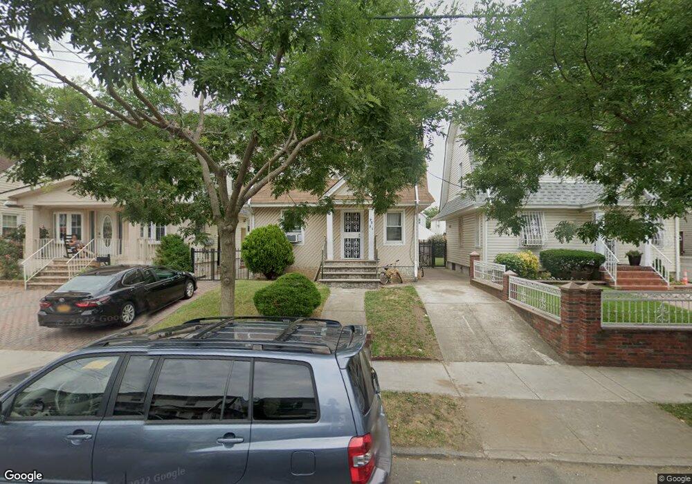
9351 205th St Hollis, NY 11423
Hollis NeighborhoodEstimated Value: $680,920 - $793,000
--
Bed
--
Bath
1,152
Sq Ft
$643/Sq Ft
Est. Value
About This Home
This home is located at 9351 205th St, Hollis, NY 11423 and is currently estimated at $740,730, approximately $642 per square foot. 9351 205th St is a home located in Queens County with nearby schools including The Bellaire School, Jean Nuzzi Intermediate School, and Incarnation Catholic Academy.
Ownership History
Date
Name
Owned For
Owner Type
Purchase Details
Closed on
May 13, 1999
Sold by
Hule Jerome
Bought by
The News Agency Of Nigeria
Current Estimated Value
Purchase Details
Closed on
Oct 2, 1998
Sold by
Morel Leonardo Antonio and Morel Ruth
Bought by
Hule Jerome
Home Financials for this Owner
Home Financials are based on the most recent Mortgage that was taken out on this home.
Original Mortgage
$131,250
Interest Rate
6.68%
Create a Home Valuation Report for This Property
The Home Valuation Report is an in-depth analysis detailing your home's value as well as a comparison with similar homes in the area
Home Values in the Area
Average Home Value in this Area
Purchase History
| Date | Buyer | Sale Price | Title Company |
|---|---|---|---|
| The News Agency Of Nigeria | -- | First American Title Ins Co | |
| Hule Jerome | $175,000 | Old Republic Natl Title Ins |
Source: Public Records
Mortgage History
| Date | Status | Borrower | Loan Amount |
|---|---|---|---|
| Previous Owner | Hule Jerome | $131,250 |
Source: Public Records
Tax History Compared to Growth
Tax History
| Year | Tax Paid | Tax Assessment Tax Assessment Total Assessment is a certain percentage of the fair market value that is determined by local assessors to be the total taxable value of land and additions on the property. | Land | Improvement |
|---|---|---|---|---|
| 2025 | $5,958 | $30,845 | $9,504 | $21,341 |
| 2024 | $5,958 | $29,665 | $9,760 | $19,905 |
| 2023 | $5,762 | $28,373 | $9,099 | $19,274 |
| 2022 | $5,407 | $40,380 | $13,680 | $26,700 |
| 2021 | $5,700 | $37,740 | $13,680 | $24,060 |
| 2020 | $5,441 | $34,800 | $13,680 | $21,120 |
| 2019 | $5,171 | $29,820 | $13,680 | $16,140 |
| 2018 | $4,820 | $23,644 | $9,458 | $14,186 |
| 2017 | $3,473 | $22,572 | $10,973 | $11,599 |
| 2016 | $4,512 | $22,572 | $10,973 | $11,599 |
| 2015 | $2,568 | $21,420 | $15,180 | $6,240 |
| 2014 | $2,568 | $20,601 | $13,468 | $7,133 |
Source: Public Records
Map
Nearby Homes
- 93-45 202nd St
- 9353 207th St
- 9331 207th St
- 90-62 204th St
- 9302 202nd St
- 9048 204th St
- 93-17 201st St
- 90-36 Francis Lewis Blvd
- 99-03 207th St
- 90-32 207th St
- 9051 201st St
- 90-54 209th St
- 90-60 209th St
- 90-13 Francis Lewis Blvd
- 208-17 100th Ave
- 100-28 207th St
- 9013 209th St
- 94-72 199th St
- 99-11 200th St
- 89-28 207th St
- 9355 205th St
- 9349 205th St
- 9359 205th St
- 9345 205th St
- 9352 Francis Lewis Blvd
- 9341 205th St
- 9354 Francis Lewis Blvd
- 93-41 205th St
- 9350 Francis Lewis Blvd
- 9358 Francis Lewis Blvd
- 9348 Francis Lewis Blvd
- 9360 Francis Lewis Blvd
- 9344 Francis Lewis Blvd
- 9358 Francis Lewis Blvd
- 9339 205th St
- 9352 205th St
- 9342 Francis Lewis Blvd
- 9350 205th St
- 9352 205th St
- 9401 205th St
