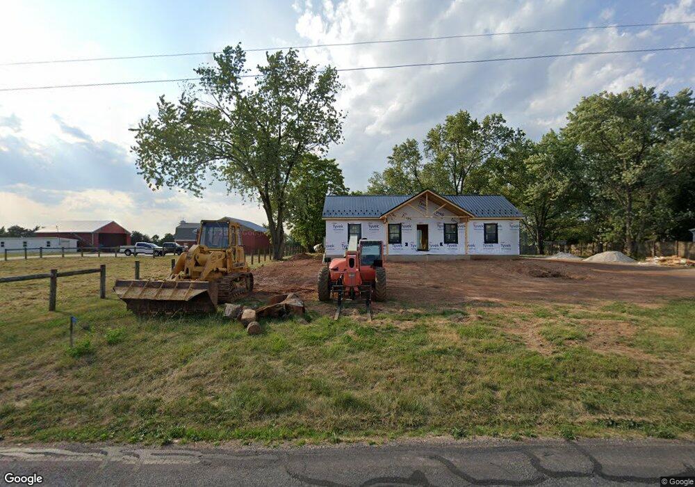
936 700 Rd Unit 1 New Oxford, PA 17350
Estimated Value: $166,000 - $240,000
3
Beds
1
Bath
1,288
Sq Ft
$158/Sq Ft
Est. Value
About This Home
This home is located at 936 700 Rd Unit 1, New Oxford, PA 17350 and is currently estimated at $203,000, approximately $157 per square foot. 936 700 Rd Unit 1 is a home located in Adams County with nearby schools including New Oxford Senior High School and Oxford Christian Academy.
Ownership History
Date
Name
Owned For
Owner Type
Purchase Details
Closed on
May 21, 2024
Sold by
Campbell Toni L and Campbell Christopher N
Bought by
Campbell Brianna
Current Estimated Value
Home Financials for this Owner
Home Financials are based on the most recent Mortgage that was taken out on this home.
Original Mortgage
$291,599
Outstanding Balance
$287,942
Interest Rate
7.25%
Mortgage Type
Construction
Estimated Equity
-$84,942
Purchase Details
Closed on
Nov 1, 1993
Bought by
Campbell Christopher N and Campbell Toni L
Create a Home Valuation Report for This Property
The Home Valuation Report is an in-depth analysis detailing your home's value as well as a comparison with similar homes in the area
Home Values in the Area
Average Home Value in this Area
Purchase History
| Date | Buyer | Sale Price | Title Company |
|---|---|---|---|
| Campbell Brianna | $84,409 | Titan Settlement Associates Ll | |
| Campbell Christopher N | $80,000 | -- |
Source: Public Records
Mortgage History
| Date | Status | Borrower | Loan Amount |
|---|---|---|---|
| Open | Campbell Brianna | $291,599 |
Source: Public Records
Tax History Compared to Growth
Tax History
| Year | Tax Paid | Tax Assessment Tax Assessment Total Assessment is a certain percentage of the fair market value that is determined by local assessors to be the total taxable value of land and additions on the property. | Land | Improvement |
|---|---|---|---|---|
| 2025 | $1,805 | $79,600 | $76,500 | $3,100 |
| 2024 | $2,120 | $101,700 | $76,500 | $25,200 |
| 2023 | $2,037 | $101,700 | $76,500 | $25,200 |
| 2022 | $1,970 | $101,700 | $76,500 | $25,200 |
| 2021 | $1,917 | $101,700 | $76,500 | $25,200 |
| 2020 | $1,869 | $101,700 | $76,500 | $25,200 |
| 2019 | $1,828 | $101,700 | $76,500 | $25,200 |
| 2018 | $1,786 | $101,700 | $76,500 | $25,200 |
| 2017 | $1,707 | $101,700 | $76,500 | $25,200 |
| 2016 | -- | $101,700 | $76,500 | $25,200 |
| 2015 | -- | $101,700 | $76,500 | $25,200 |
| 2014 | -- | $101,700 | $76,500 | $25,200 |
Source: Public Records
Map
Nearby Homes
- 1180 the Spangler Rd Unit 1
- 330 S Hickory Ln Unit 15
- 3436 Carlisle Pike
- 523 Berlin Rd
- 45 Matthew Dr Unit 145
- 33 Chinkapin Dr Unit 20
- 34 Creek Rd Unit 18
- 75 Fawn Ave Unit 34
- 106 Billerbeck St
- 2850 York Rd
- 25 Commerce St
- 6431 York Rd
- 0 N Browns Dam Dr
- 1 Oxford Ct Unit 45
- 131 Hanover St
- 4 Oxford Ct Unit 27
- 290 Woods Rd Unit 1
- 415 Lincoln Way W
- 70 Peepytown Rd
- 4960 York Rd
- 940 700 Rd
- 914 700 Rd
- 966 700 Rd
- 901 700 Rd Unit 2
- 980 700 Rd
- 1006 700 Rd Unit 6
- 875 700 Rd Unit 2
- 1015 700 Rd
- 1026 700 Rd
- 1275 the Spangler Rd Unit 1
- 1035 700 Rd
- 1036 700 Rd Unit 3
- 1259 the Spangler Rd Unit 2A
- 1046 700 Rd Unit 2
- 1049 700 Rd Unit 3
- 1335 the Spangler Rd
- 1066 700 Rd
- 1250 the Spangler Rd Unit 2
- 1067 700 Rd
- 1055 Dicks Dam Rd Unit 5