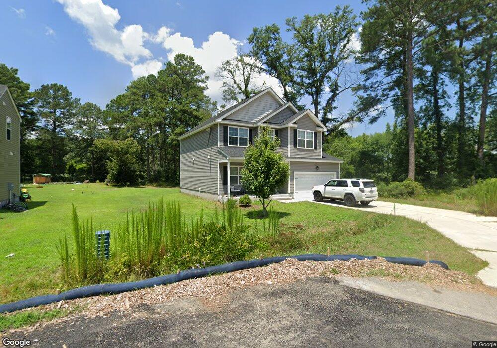
936 Michael Dr Chesapeake, VA 23323
Deep Creek NeighborhoodEstimated Value: $405,000 - $433,766
About This Home
This home is located at 936 Michael Dr, Chesapeake, VA 23323 and is currently estimated at $419,942, approximately $209 per square foot. 936 Michael Dr is a home located in Chesapeake City with nearby schools including G.A. Treakle Elementary School, Deep Creek Middle School, and Deep Creek High.
Ownership History
We collect this data history from publicly available records. To have your information removed, we recommend requesting removal directly through your county’s website.
Purchase Details
Home Financials for this Owner
Home Financials are based on the most recent Mortgage that was taken out on this home.Purchase Details
Home Financials for this Owner
Home Financials are based on the most recent Mortgage that was taken out on this home.Home Values in the Area
Average Home Value in this Area
Purchase History
We collect this data history from publicly available records. To have your information removed, we recommend requesting removal directly through your county’s website.
| Date | Buyer | Sale Price | Title Company |
|---|---|---|---|
| $410,000 | Navy Federal Title | ||
| $410,000 | Navy Federal Title | ||
| $279,900 | Attorney |
Mortgage History
We collect this data history from publicly available records. To have your information removed, we recommend requesting removal directly through your county’s website.
| Date | Status | Borrower | Loan Amount |
|---|---|---|---|
| Open | $380,387 | ||
| Previous Owner | $285,917 |
Tax History
We collect this data history from publicly available records. To have your information removed, we recommend requesting removal directly through your county’s website.
| Year | Tax Paid | Tax Assessment Tax Assessment Total Assessment is a certain percentage of the fair market value that is determined by local assessors to be the total taxable value of land and additions on the property. | Land | Improvement |
|---|---|---|---|---|
| 2025 | $4,020 | $398,000 | $120,000 | $278,000 |
| 2024 | $3,798 | $376,000 | $110,000 | $266,000 |
| 2023 | $3,275 | $355,000 | $100,000 | $255,000 |
| 2022 | $3,289 | $325,600 | $90,000 | $235,600 |
| 2021 | $2,936 | $279,600 | $75,000 | $204,600 |
| 2020 | $2,843 | $270,800 | $75,000 | $195,800 |
| 2019 | $1,758 | $75,000 | $75,000 | $0 |
| 2018 | $367 | $35,000 | $35,000 | $0 |
| 2017 | $368 | $35,000 | $35,000 | $0 |
| 2016 | $368 | $35,000 | $35,000 | $0 |
| 2015 | $368 | $35,000 | $35,000 | $0 |
| 2014 | $368 | $35,000 | $35,000 | $0 |
Map
- 808 State St
- 912 Oklahoma Dr
- 2053 Iowa St
- 1721 Faulk St
- 2204 Battery Park Rd
- 2241 Tennessee Dr
- 2300 Battery Park Rd
- 2425 Lofurno Rd
- 701 Baywood Trail
- 2505 Lofurno Rd
- 2213 Springdale Rd
- 000 Shell Rd
- 1301 Pinecroft Ln
- 215 Wye Oak Way
- 428 Rock Dr
- 908 Landing Creek Dr
- 934 Ferryman Quay
- 924 Deep Branch Way
- 633 Rock Dr
- 34 Frailey Place
- 924 Michael Dr
- 932 Michael Dr
- 937 Michael Dr
- 2000 Texas St
- 929 Michael Dr
- 2004 Girard Ave
- 2004 Texas St
- 925 Michael Dr Unit Dr.
- 2008 Girard Ave
- 2008 Texas St
- 2025 Maywood St
- 916 Michael Dr
- 917 Michael Dr Unit A
- 917 Michael Dr
- 917 Michael Dr Unit B
- 2029 Maywood St
- 2012 Texas St
- 2015 Girard Ave
- 2033 Maywood St
- 2016 Girard Ave
Ask me questions while you tour the home.