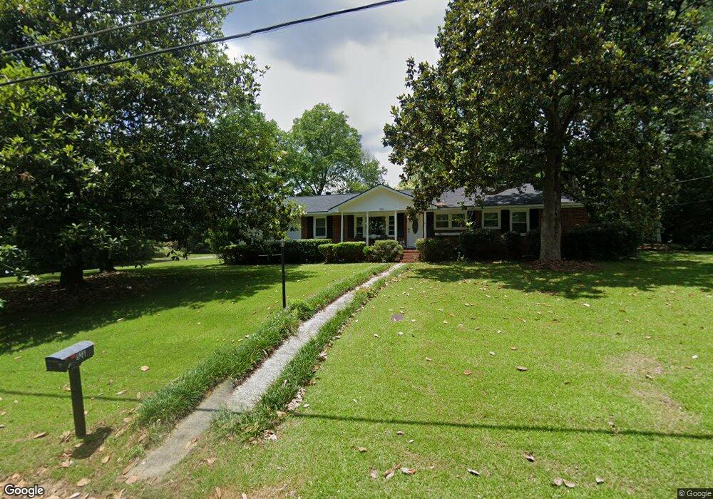
936 Newport Rd Macon, GA 31210
Estimated Value: $209,000 - $247,000
4
Beds
2
Baths
1,950
Sq Ft
$117/Sq Ft
Est. Value
About This Home
This home is located at 936 Newport Rd, Macon, GA 31210 and is currently estimated at $227,198, approximately $116 per square foot. 936 Newport Rd is a home located in Bibb County with nearby schools including Lane Elementary School, Howard Middle School, and Howard High School.
Ownership History
Date
Name
Owned For
Owner Type
Purchase Details
Closed on
Jun 30, 2017
Sold by
Marketing Today Inc
Bought by
Thomas Benji and Johnson Kemeisha
Current Estimated Value
Home Financials for this Owner
Home Financials are based on the most recent Mortgage that was taken out on this home.
Original Mortgage
$110,953
Outstanding Balance
$91,683
Interest Rate
3.87%
Mortgage Type
FHA
Estimated Equity
$135,515
Purchase Details
Closed on
Feb 19, 2002
Bought by
Marketing Today Inc
Create a Home Valuation Report for This Property
The Home Valuation Report is an in-depth analysis detailing your home's value as well as a comparison with similar homes in the area
Home Values in the Area
Average Home Value in this Area
Purchase History
| Date | Buyer | Sale Price | Title Company |
|---|---|---|---|
| Thomas Benji | $113,000 | None Available | |
| Marketing Today Inc | $88,900 | -- | |
| Marketing Today Inc | $85,000 | -- |
Source: Public Records
Mortgage History
| Date | Status | Borrower | Loan Amount |
|---|---|---|---|
| Open | Thomas Benji | $110,953 |
Source: Public Records
Tax History Compared to Growth
Tax History
| Year | Tax Paid | Tax Assessment Tax Assessment Total Assessment is a certain percentage of the fair market value that is determined by local assessors to be the total taxable value of land and additions on the property. | Land | Improvement |
|---|---|---|---|---|
| 2025 | $1,436 | $65,438 | $10,750 | $54,688 |
| 2024 | $1,484 | $65,438 | $10,750 | $54,688 |
| 2023 | $612 | $49,110 | $8,600 | $40,510 |
| 2022 | $1,546 | $51,656 | $9,790 | $41,866 |
| 2021 | $1,752 | $53,100 | $9,790 | $43,310 |
| 2020 | $1,344 | $41,613 | $7,832 | $33,781 |
| 2019 | $1,355 | $41,613 | $7,832 | $33,781 |
| 2018 | $2,255 | $41,613 | $7,832 | $33,781 |
| 2017 | $1,523 | $40,645 | $7,441 | $33,204 |
| 2016 | $1,243 | $35,922 | $7,049 | $28,873 |
| 2015 | $1,650 | $33,695 | $6,266 | $27,429 |
| 2014 | $1,898 | $33,695 | $6,266 | $27,429 |
Source: Public Records
Map
Nearby Homes
- 859 Forest Lake Dr S
- 870 Glen Hill Ct
- 825 Forest Lake Dr S
- 1270 Lake Valley Rd
- 753 Lokchapee Dr
- 731 Lokchapee Dr
- 938 Lundy Terrace
- 1344 Lake Valley Rd
- 1224 Timberlane Dr
- 1161 Ousley Place
- 636 Lokchapee Ridge
- 121 Brookstone Way
- 673 Commanche Dr
- 627 Lokchapee Ridge
- 1197 Matthews Place
- 3678 Northside Dr
- 556 Commanche Place
- 3640 Northside Dr
- 3622 Northside Dr
- 602 Commanche Dr
- 1215 Darlington Dr
- 948 Newport Rd
- 1212 Camden Rd
- 920 Newport Rd
- 1225 Darlington Dr
- 1225 Darlington Dr Unit G15
- 1193 Darlington Dr
- 947 Newport Rd
- 1220 Camden Rd
- 921 Newport Rd
- 957 Newport Rd
- 1233 Darlington Dr
- 1230 Camden Rd
- 1182 Darlington Dr
- 1183 Darlington Dr
- 908 Newport Rd
- 969 Newport Rd
- 909 Newport Rd
- 909 Newport Rd Unit E-15
- 1243 Darlington Dr