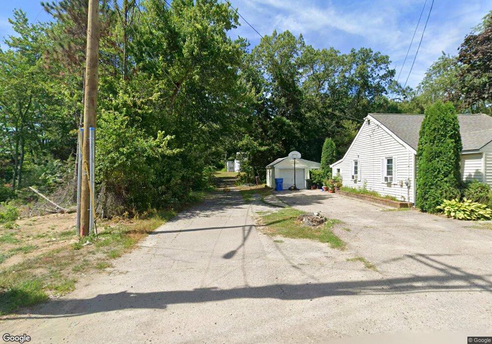
936 South St Wrentham, MA 02093
Estimated Value: $386,000 - $520,000
2
Beds
1
Bath
603
Sq Ft
$784/Sq Ft
Est. Value
About This Home
This home is located at 936 South St, Wrentham, MA 02093 and is currently estimated at $472,603, approximately $783 per square foot. 936 South St is a home located in Norfolk County with nearby schools including Delaney Elementary School and Charles E Roderick.
Ownership History
Date
Name
Owned For
Owner Type
Purchase Details
Closed on
May 29, 1998
Sold by
Weston William B
Bought by
Boyd Kathleen
Current Estimated Value
Purchase Details
Closed on
Jul 29, 1987
Sold by
Lavallee Lucien E
Bought by
Lavallee Aline
Create a Home Valuation Report for This Property
The Home Valuation Report is an in-depth analysis detailing your home's value as well as a comparison with similar homes in the area
Home Values in the Area
Average Home Value in this Area
Purchase History
| Date | Buyer | Sale Price | Title Company |
|---|---|---|---|
| Boyd Kathleen | $121,500 | -- | |
| Lavallee Aline | $105,000 | -- |
Source: Public Records
Mortgage History
| Date | Status | Borrower | Loan Amount |
|---|---|---|---|
| Open | Lavallee Aline | $134,450 | |
| Closed | Lavallee Aline | $49,500 | |
| Closed | Lavallee Aline | $92,750 |
Source: Public Records
Tax History Compared to Growth
Tax History
| Year | Tax Paid | Tax Assessment Tax Assessment Total Assessment is a certain percentage of the fair market value that is determined by local assessors to be the total taxable value of land and additions on the property. | Land | Improvement |
|---|---|---|---|---|
| 2025 | $5,025 | $433,600 | $269,800 | $163,800 |
| 2024 | $4,670 | $389,200 | $269,800 | $119,400 |
| 2023 | $4,353 | $344,900 | $245,600 | $99,300 |
| 2022 | $3,998 | $292,500 | $196,300 | $96,200 |
| 2021 | $3,644 | $259,000 | $167,000 | $92,000 |
| 2020 | $3,313 | $232,500 | $139,100 | $93,400 |
| 2019 | $3,262 | $231,000 | $139,100 | $91,900 |
| 2018 | $2,885 | $202,600 | $139,300 | $63,300 |
| 2017 | $2,783 | $195,300 | $136,600 | $58,700 |
| 2016 | $2,730 | $191,200 | $132,600 | $58,600 |
| 2015 | $2,689 | $179,500 | $127,500 | $52,000 |
| 2014 | $2,675 | $174,700 | $122,700 | $52,000 |
Source: Public Records
Map
Nearby Homes
- 791 South St Unit 5
- 1204 South St
- 60 Oxbow Dr
- 1222 South St
- 406 West St
- 50 Green St
- 20 Pokanoket Path
- 100 Pokanoket Path
- Lot 3 - 14 Earle Stewart Ln
- 12 Earle Stewart Ln
- 3 Berry St
- 570 Eastside Rd
- 12 Grant St
- 311 South St
- 319 Taunton St
- 440 Chestnut St
- 131 Creek St Unit 9
- 36 Field Cir
- 20 Rowell Rd
- 5 Field Cir