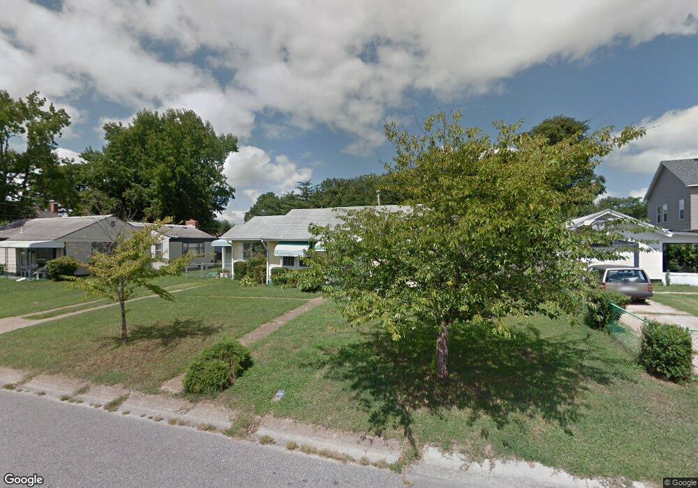
936 Spaulding Dr Norfolk, VA 23513
Chesapeake Gardens/Mamie Homes NeighborhoodEstimated Value: $234,654 - $286,000
2
Beds
2
Baths
1,146
Sq Ft
$228/Sq Ft
Est. Value
About This Home
This home is located at 936 Spaulding Dr, Norfolk, VA 23513 and is currently estimated at $260,914, approximately $227 per square foot. 936 Spaulding Dr is a home located in Norfolk City with nearby schools including Frances E. Willard Model Elementary School, Norview Middle School, and Norview High School.
Ownership History
Date
Name
Owned For
Owner Type
Purchase Details
Closed on
Aug 13, 2006
Sold by
Lewis Rudolph Clifton and Lewis Earl
Bought by
Winslow Charles M and Winslow Carol L
Current Estimated Value
Home Financials for this Owner
Home Financials are based on the most recent Mortgage that was taken out on this home.
Original Mortgage
$23,400
Interest Rate
6.52%
Mortgage Type
Stand Alone Second
Create a Home Valuation Report for This Property
The Home Valuation Report is an in-depth analysis detailing your home's value as well as a comparison with similar homes in the area
Home Values in the Area
Average Home Value in this Area
Purchase History
| Date | Buyer | Sale Price | Title Company |
|---|---|---|---|
| Winslow Charles M | $117,000 | -- |
Source: Public Records
Mortgage History
| Date | Status | Borrower | Loan Amount |
|---|---|---|---|
| Previous Owner | Winslow Charles M | $23,400 |
Source: Public Records
Tax History
| Year | Tax Paid | Tax Assessment Tax Assessment Total Assessment is a certain percentage of the fair market value that is determined by local assessors to be the total taxable value of land and additions on the property. | Land | Improvement |
|---|---|---|---|---|
| 2025 | $2,628 | $210,200 | $94,600 | $115,600 |
| 2024 | $2,635 | $214,200 | $94,600 | $119,600 |
| 2023 | $2,500 | $200,000 | $94,600 | $105,400 |
| 2022 | $2,153 | $172,200 | $66,800 | $105,400 |
| 2021 | $1,818 | $145,400 | $55,700 | $89,700 |
| 2020 | $1,705 | $136,400 | $48,400 | $88,000 |
| 2019 | $1,685 | $134,800 | $48,400 | $86,400 |
| 2018 | $1,674 | $133,900 | $48,400 | $85,500 |
| 2017 | $1,515 | $131,700 | $48,400 | $83,300 |
| 2016 | $1,515 | $130,200 | $48,400 | $81,800 |
| 2015 | $1,486 | $130,200 | $48,400 | $81,800 |
| 2014 | $1,486 | $130,200 | $48,400 | $81,800 |
Source: Public Records
Map
Nearby Homes
- 909 Workwood Rd
- 936 Widgeon Rd
- 920 Widgeon Rd
- 837 Tifton St
- 6804 Thaxton St
- 977 Wolcott Ave
- 7012 Gregory Dr
- 805 Tifton St
- 1008 Wolcott Ave
- 6634 Whitehorn Dr
- 1055 Kittrell St
- 974 Philpotts Rd
- 6618 Palem Rd
- 1072 Joyner St
- 711 Easy St
- 7449 Fenner St
- 1033 Avenue E
- 6459 Clare Rd
- 1090 Johnstons Rd
- 852 Philpotts Rd
- 932 Spaulding Dr
- 917 Lasser Dr
- 948 Spaulding Dr
- 913 Lasser Dr
- 929 Lasser Dr
- 937 Spaulding Dr
- 928 Spaulding Dr
- 941 Spaulding Dr
- 933 Spaulding Dr
- 909 Lasser Dr
- 945 Spaulding Dr
- 929 Spaulding Dr
- 924 Spaulding Dr
- 916 Lasser Dr
- 912 Lasser Dr
- 905 Lasser Dr
- 920 Lasser Dr
- 928 Tifton St
- 924 Tifton St
- 908 Lasser Dr
Your Personal Tour Guide
Ask me questions while you tour the home.