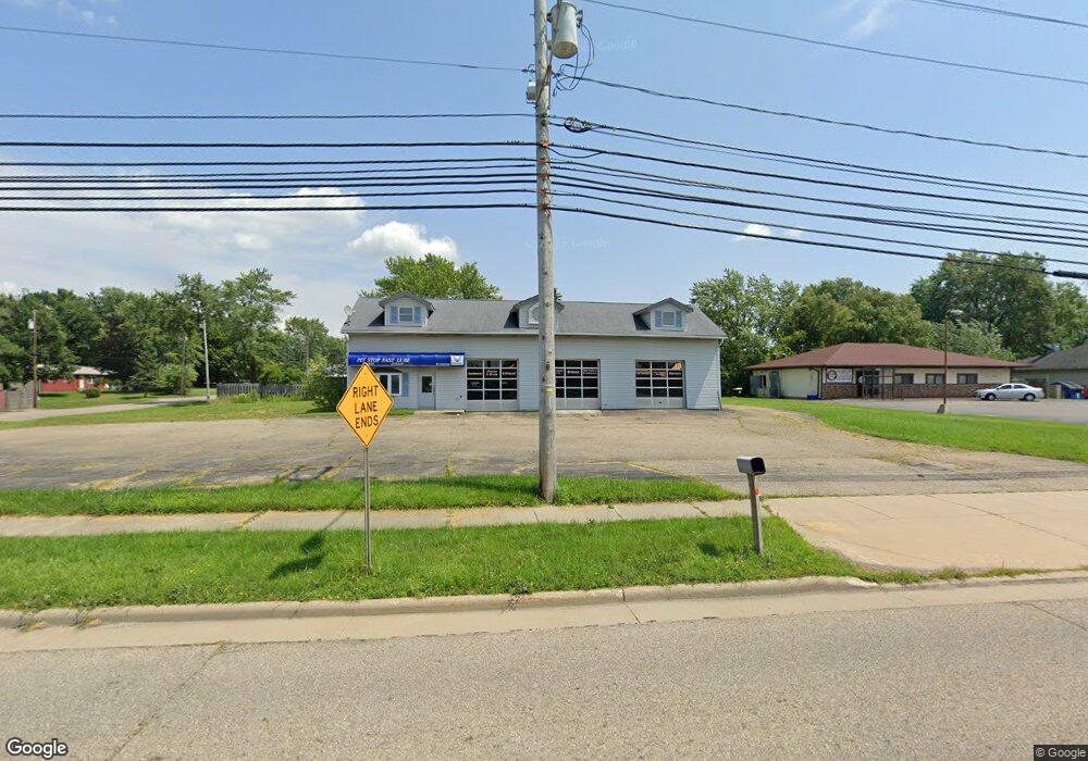
9360 State Route 43 Streetsboro, OH 44241
Estimated Value: $277,462
--
Bed
--
Bath
2,278
Sq Ft
$122/Sq Ft
Est. Value
About This Home
This home is located at 9360 State Route 43, Streetsboro, OH 44241 and is currently estimated at $277,462, approximately $121 per square foot. 9360 State Route 43 is a home located in Portage County with nearby schools including Streetsboro High School and Crossroads Christian Academy.
Ownership History
Date
Name
Owned For
Owner Type
Purchase Details
Closed on
Aug 13, 2019
Sold by
Abuhilwa Ribal A
Bought by
Aabs Property Management Llc
Current Estimated Value
Purchase Details
Closed on
Feb 8, 2017
Sold by
Ohno Llc
Bought by
Abuhilwa Ribal A
Purchase Details
Closed on
Aug 10, 2009
Sold by
Gill Rupinder and Associated Petroleum Products
Bought by
Ohno Llc
Purchase Details
Closed on
May 12, 2004
Sold by
Gill Deep S and Gill Shinder
Bought by
Gill Shinder
Purchase Details
Closed on
Jun 1, 2002
Sold by
Gill Deep
Bought by
The City Of Streetsboro
Purchase Details
Closed on
Mar 12, 1992
Bought by
Gill Deep
Create a Home Valuation Report for This Property
The Home Valuation Report is an in-depth analysis detailing your home's value as well as a comparison with similar homes in the area
Home Values in the Area
Average Home Value in this Area
Purchase History
| Date | Buyer | Sale Price | Title Company |
|---|---|---|---|
| Aabs Property Management Llc | -- | None Available | |
| Abuhilwa Ribal A | $162,500 | First American Title | |
| Ohno Llc | $133,334 | Attorney | |
| Gill Shinder | -- | -- | |
| The City Of Streetsboro | $9,550 | -- | |
| Gill Deep | $80,000 | -- |
Source: Public Records
Tax History Compared to Growth
Tax History
| Year | Tax Paid | Tax Assessment Tax Assessment Total Assessment is a certain percentage of the fair market value that is determined by local assessors to be the total taxable value of land and additions on the property. | Land | Improvement |
|---|---|---|---|---|
| 2024 | $6,179 | $102,770 | $66,330 | $36,440 |
| 2023 | $5,912 | $81,800 | $59,260 | $22,540 |
| 2022 | $5,297 | $75,680 | $59,260 | $16,420 |
| 2021 | $5,126 | $75,680 | $59,260 | $16,420 |
| 2020 | $5,093 | $75,680 | $59,260 | $16,420 |
| 2019 | $5,248 | $75,680 | $59,260 | $16,420 |
| 2018 | $4,452 | $73,820 | $59,260 | $14,560 |
| 2017 | $4,452 | $73,820 | $59,260 | $14,560 |
| 2016 | $4,379 | $73,820 | $59,260 | $14,560 |
| 2015 | $4,395 | $73,820 | $59,260 | $14,560 |
| 2014 | $4,460 | $73,820 | $59,260 | $14,560 |
| 2013 | $4,438 | $73,820 | $59,260 | $14,560 |
Source: Public Records
Map
Nearby Homes
- 9315 June Dr
- 1490 Evergreen Dr
- 1280 Shawnee Trail
- 1405 Gillie Dr
- 1516 Gillie Dr
- 1159 Shawnee Trail
- 1223 Cherokee Trail
- 9495 Nita Ln
- 9018 Patriot Dr
- 9012 Patriot Dr
- 1013 Ashwood Ln
- 1011 Ashwood Ln
- 1440 Trader Dr
- 1446 Trader Dr Unit H5
- 9247 Chestnut Ct
- 9251 Chestnut Ct
- 1725 Pike Pkwy
- 9244 Lakeside Dr
- 9036 Portage Pointe Dr Unit B
- 939 State Route 303