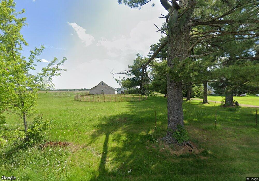
9361 270th Ave New Auburn, WI 54757
Estimated Value: $240,000 - $384,000
4
Beds
2
Baths
4,620
Sq Ft
$67/Sq Ft
Est. Value
About This Home
This home is located at 9361 270th Ave, New Auburn, WI 54757 and is currently estimated at $311,086, approximately $67 per square foot. 9361 270th Ave is a home located in Chippewa County with nearby schools including New Auburn Elementary School, New Auburn Middle School, and New Auburn Junior/Senior High School.
Ownership History
Date
Name
Owned For
Owner Type
Purchase Details
Closed on
May 19, 2021
Sold by
Nedland Catherine M
Bought by
Nedland Catherine M and Nedoland Mason L
Current Estimated Value
Purchase Details
Closed on
Dec 21, 2011
Sold by
Elrod Dennis J
Bought by
Nedland Catherine M and Nedland Cathrine M
Purchase Details
Closed on
Mar 27, 2007
Sold by
Corporate Relocation Services
Bought by
Elrod Dennis J and Nedland Cathrine M
Home Financials for this Owner
Home Financials are based on the most recent Mortgage that was taken out on this home.
Original Mortgage
$72,450
Interest Rate
6.27%
Mortgage Type
New Conventional
Purchase Details
Closed on
Jul 10, 2006
Sold by
Kunsman Randal F
Bought by
Corporate Relocation Services
Create a Home Valuation Report for This Property
The Home Valuation Report is an in-depth analysis detailing your home's value as well as a comparison with similar homes in the area
Home Values in the Area
Average Home Value in this Area
Purchase History
| Date | Buyer | Sale Price | Title Company |
|---|---|---|---|
| Nedland Catherine M | -- | Misc Company | |
| Nedland Catherine M | $37,000 | None Available | |
| Elrod Dennis J | $80,500 | None Available | |
| Corporate Relocation Services | $110,000 | -- |
Source: Public Records
Mortgage History
| Date | Status | Borrower | Loan Amount |
|---|---|---|---|
| Previous Owner | Elrod Dennis J | $72,450 |
Source: Public Records
Tax History Compared to Growth
Tax History
| Year | Tax Paid | Tax Assessment Tax Assessment Total Assessment is a certain percentage of the fair market value that is determined by local assessors to be the total taxable value of land and additions on the property. | Land | Improvement |
|---|---|---|---|---|
| 2024 | $1,920 | $245,300 | $34,700 | $210,600 |
| 2023 | $1,814 | $131,500 | $11,900 | $119,600 |
| 2022 | $1,750 | $131,500 | $11,900 | $119,600 |
| 2021 | $1,683 | $131,500 | $11,900 | $119,600 |
| 2020 | $1,732 | $131,500 | $11,900 | $119,600 |
| 2019 | $1,647 | $131,500 | $11,900 | $119,600 |
| 2018 | $1,586 | $131,500 | $11,900 | $119,600 |
| 2017 | $1,754 | $131,500 | $11,900 | $119,600 |
| 2016 | $1,695 | $131,500 | $11,900 | $119,600 |
| 2015 | $1,794 | $131,500 | $11,900 | $119,600 |
| 2014 | $1,745 | $131,500 | $11,900 | $119,600 |
Source: Public Records
Map
Nearby Homes
- 11418 280th Ave
- 406 S East St
- 626 S East St
- 30925 County Highway F
- Lot 3 145th St
- 10 Acres 235th Ave
- 30994 122nd St
- 30345 136th St
- 30129 136th St
- 392 27th St
- Lot 6 151st St
- W14555 Plummer Rd
- W14418 Plummer Rd
- 15754 County Highway M
- 2732 6 3 16 Ave
- W16065 #5 Hogback Rd Unit 5
- 2684 6 3 16 Ave
- XXX N Pleasantview Trail (Lot 6)
- W16694 Hogback Rd
- N1057 Deer Head Point
- 27336 County Highway F
- 27165 100th St
- 10040 270th Ave
- 27079 100th St
- 27533 Hwy F
- 27083 100th St
- 26344 County Highway F
- 27336 Hwy F
- 27227 100th St
- 27582 County Highway F
- 26260 County Highway F
- 27582 Hwy F
- 26204 County Highway F
- 26204 County Highway F
- 27626 Hwy F
- 26204 Hwy F
- 26136 County Highway F
- 27598 100th St
- 27754 County Highway F
- 26136 Hwy F