9361 Highway 17 Toccoa, GA 30577
Estimated Value: $124,541 - $282,000
4
Beds
1
Bath
2,061
Sq Ft
$105/Sq Ft
Est. Value
About This Home
This home is located at 9361 Highway 17, Toccoa, GA 30577 and is currently estimated at $215,885, approximately $104 per square foot. 9361 Highway 17 is a home located in Stephens County with nearby schools including Stephens County High School, Shepherds Hill Academy, and Shepherd's Hill Academy.
Ownership History
Date
Name
Owned For
Owner Type
Purchase Details
Closed on
Feb 12, 2020
Sold by
Arrowood Deidra D
Bought by
Arrowood Thomas
Current Estimated Value
Purchase Details
Closed on
Nov 21, 2016
Sold by
Thomas
Bought by
Arrowood Deidra D
Purchase Details
Closed on
Nov 8, 2010
Sold by
Fowler Jonda D Murray
Bought by
Arrowood Thomas
Purchase Details
Closed on
Sep 1, 1998
Bought by
Fowler Jonda D Murray
Purchase Details
Closed on
Aug 1, 1993
Bought by
<Buyer Info Not Present>
Purchase Details
Closed on
Jul 1, 1993
Bought by
<Buyer Info Not Present>
Create a Home Valuation Report for This Property
The Home Valuation Report is an in-depth analysis detailing your home's value as well as a comparison with similar homes in the area
Home Values in the Area
Average Home Value in this Area
Purchase History
| Date | Buyer | Sale Price | Title Company |
|---|---|---|---|
| Arrowood Thomas | -- | -- | |
| Arrowood Deidra D | -- | -- | |
| Arrowood Thomas | $88,000 | -- | |
| Fowler Jonda D Murray | -- | -- | |
| <Buyer Info Not Present> | $42,000 | -- | |
| <Buyer Info Not Present> | -- | -- |
Source: Public Records
Tax History Compared to Growth
Tax History
| Year | Tax Paid | Tax Assessment Tax Assessment Total Assessment is a certain percentage of the fair market value that is determined by local assessors to be the total taxable value of land and additions on the property. | Land | Improvement |
|---|---|---|---|---|
| 2024 | $760 | $24,964 | $6,098 | $18,866 |
| 2023 | $718 | $23,594 | $6,098 | $17,496 |
| 2022 | $456 | $15,305 | $5,544 | $9,761 |
| 2021 | $471 | $15,057 | $5,544 | $9,513 |
| 2020 | $468 | $14,819 | $5,544 | $9,275 |
| 2019 | $462 | $14,555 | $5,280 | $9,275 |
| 2018 | $429 | $13,515 | $5,280 | $8,235 |
| 2017 | $425 | $13,182 | $5,280 | $7,902 |
| 2016 | $418 | $13,181 | $5,280 | $7,901 |
| 2015 | $451 | $13,590 | $5,280 | $8,310 |
| 2014 | $459 | $13,590 | $5,280 | $8,310 |
| 2013 | -- | $32,720 | $5,280 | $27,440 |
Source: Public Records
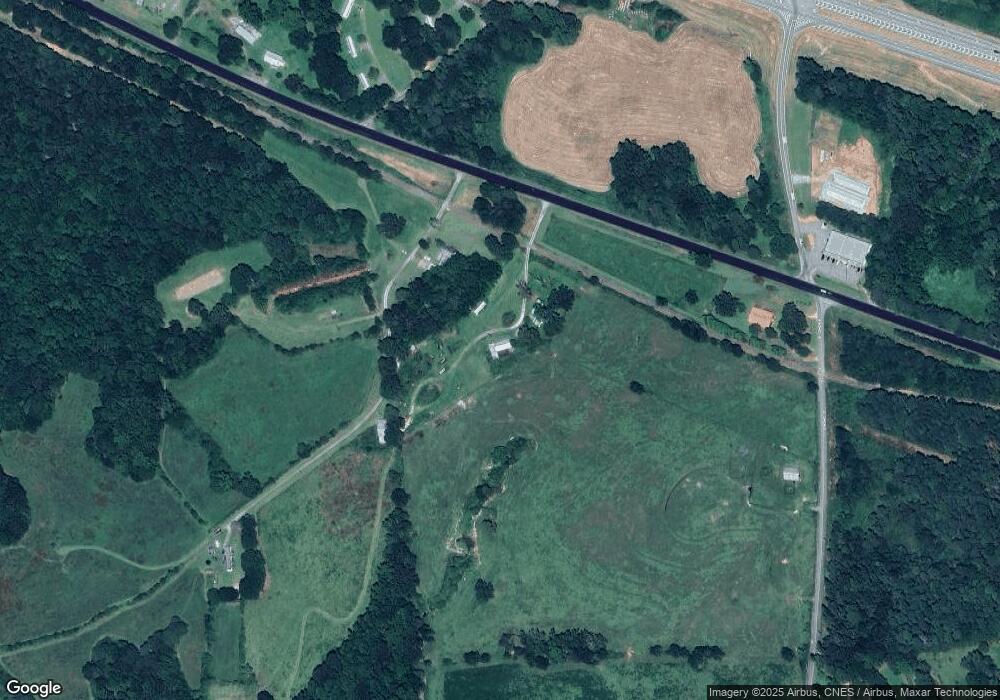
Map
Nearby Homes
- 836 Swilling Rd
- 000, LOT 30C Swilling Rd
- 0, LOT 30A Swilling Rd
- 00, LOT 30B Swilling Rd
- 160 Whitworth Cir
- 121 Wilmer Shirley Dr
- 1120 Combs Ave
- 0 Georgia 17
- 538 Oil Mill Rd Unit 8
- 2230 Tower Rd
- 556 Oil Mill Rd Unit 7
- 0 Herron Rd Unit 14382283
- 574 Oil Mill Rd Unit 6
- 0 Eastanollee Rd Unit 10440265
- 18 Webb Rd
- 1873 Price Rd
- 2657 Wolfpit Rd
- 219 Eastanollee Rd
- 1189 Anderson Thomas Rd Unit 6
- 883 Dortch Rd
- 0 Avalon Rd Unit TRACK 1
- 0 Avalon Rd Unit 3048744
- 0 Avalon Rd Unit 7579306
- 0 Avalon Rd Unit 4131838
- 0 Avalon Rd Unit 7412879
- 0 Avalon Rd Unit 8526748
- 00 Avalon Rd
- 1 Avalon Rd
- 0 Highway 17 Yow Mill Unit 7149262
- 0 Hwy 17 and Yow Mill Rd Unit 7149189
- 0 Sisk Rd Unit 1005993
- 0 Sisk Rd Unit 10155065
- 0 Sisk Rd
- 341 Avalon Rd
- 246 Avalon Rd
- 233 S Yow Mill Rd
- 274 S Yow Mill Rd
- 505 Avalon Rd
- 153 Sisk Rd
- 543 Avalon Rd