9361 New Rd McDaniel, MD 21647
Estimated Value: $878,664 - $1,200,000
Studio
3
Baths
1,798
Sq Ft
$584/Sq Ft
Est. Value
About This Home
This home is located at 9361 New Rd, McDaniel, MD 21647 and is currently estimated at $1,050,221, approximately $584 per square foot. 9361 New Rd is a home located in Talbot County with nearby schools including Tilghman Elementary School, St. Michaels Middle/High School, and Easton High School.
Ownership History
Date
Name
Owned For
Owner Type
Purchase Details
Closed on
Jun 29, 2011
Sold by
Tobin Susan E
Bought by
Tobin Lynne and Tobin Susan E
Current Estimated Value
Purchase Details
Closed on
Jun 19, 2011
Sold by
Tobin Wilde Lynn
Bought by
Tobin Lynne
Purchase Details
Closed on
Apr 29, 2011
Sold by
Watson Taylor G
Bought by
Tobin Susan E and Tobin Wilde Lynn
Purchase Details
Closed on
Apr 28, 2011
Sold by
Kepler Paul E
Bought by
Tobin Susan E and Tobin Wilde Ynn
Purchase Details
Closed on
Aug 20, 2002
Sold by
Watson G Taylor G
Bought by
Watson G Taylor Trustee
Create a Home Valuation Report for This Property
The Home Valuation Report is an in-depth analysis detailing your home's value as well as a comparison with similar homes in the area
Purchase History
| Date | Buyer | Sale Price | Title Company |
|---|---|---|---|
| Tobin Lynne | -- | -- | |
| Tobin Lynne | -- | -- | |
| Tobin Lynne | -- | None Available | |
| Tobin Susan E | -- | -- | |
| Tobin Susan E | -- | None Available | |
| Tobin Susan E | -- | -- | |
| Watson G Taylor Trustee | -- | -- |
Source: Public Records
Tax History
| Year | Tax Paid | Tax Assessment Tax Assessment Total Assessment is a certain percentage of the fair market value that is determined by local assessors to be the total taxable value of land and additions on the property. | Land | Improvement |
|---|---|---|---|---|
| 2025 | $5,964 | $650,800 | $377,900 | $272,900 |
| 2024 | $5,694 | $629,467 | $0 | $0 |
| 2023 | $5,217 | $608,133 | $0 | $0 |
| 2022 | $4,679 | $586,800 | $377,900 | $208,900 |
| 2021 | $4,522 | $585,600 | $0 | $0 |
| 2020 | $4,401 | $584,400 | $0 | $0 |
| 2019 | $4,392 | $583,200 | $377,900 | $205,300 |
| 2018 | $4,248 | $583,200 | $377,900 | $205,300 |
| 2017 | $4,042 | $583,200 | $0 | $0 |
| 2016 | $4,594 | $705,500 | $0 | $0 |
| 2015 | $4,313 | $705,500 | $0 | $0 |
| 2014 | $4,313 | $705,500 | $0 | $0 |
Source: Public Records
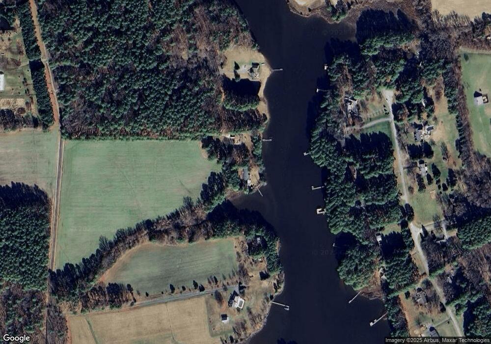
Map
Nearby Homes
- 9262 Macks Ln
- 9681 Macks Ln
- 22582 Pot Pie Rd
- 22349 Cooper Ln
- 8915 Palmer Ln
- 22314 Pot Pie Rd
- 8805 Cummings Rd
- 22707 Marshall Ln
- 8781 Tilghman Island Rd
- 8620 Bozman Neavitt Rd
- 8034 Bozman Neavitt Rd
- 23869 Mount Misery Rd
- 9791 Pintail Place
- 10770 Rich Neck Rd
- 24354 Widgeon Place Unit 20
- 24345 Widgeon Place Unit 25
- 9180 Saint Michaels Rd
- 9518 Quail Hollow Dr Unit 702
- 9206 Martingham Dr
- 9545 Quail Hollow Dr Unit 205
- 9363 New Rd
- 9261 New Rd
- 9360 Pennywhistle Dr
- 9401 New Rd
- 9320 Pennywhistle Dr
- 9340 Pennywhistle Dr
- 9243 New Rd
- 9380 Pennywhistle Dr
- 9304 Pennywhistle Dr
- 9390 Pennywhistle Dr
- 9286 Pennywhistle Dr
- 9359 Pennywhistle Dr
- 9339 Pennywhistle Dr
- 9371 Pennywhistle Dr
- 22880 McDaniel Farm Ln
- 22868 McDaniel Farm Ln
- 9387 Pennywhistle Dr
- 9262 Pennywhistle Dr
- 9199 New Rd
- 9195 New Rd
Your Personal Tour Guide
Ask me questions while you tour the home.