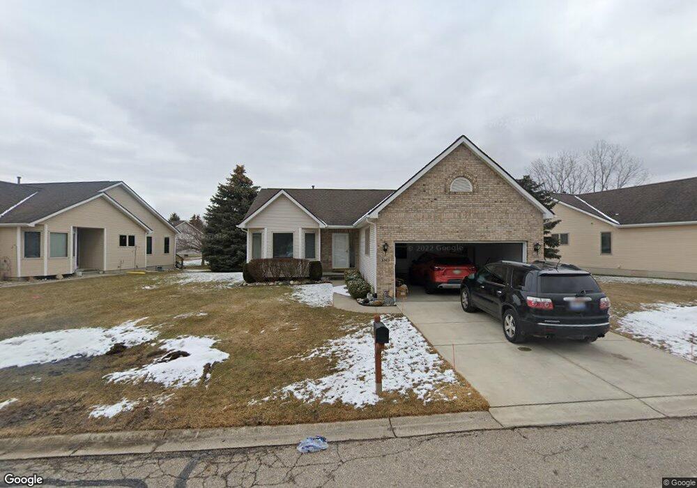
9363 Isabella Ln Unit 185 Davison, MI 48423
Estimated Value: $252,367 - $291,000
--
Bed
--
Bath
1,623
Sq Ft
$163/Sq Ft
Est. Value
About This Home
This home is located at 9363 Isabella Ln Unit 185, Davison, MI 48423 and is currently estimated at $265,342, approximately $163 per square foot. 9363 Isabella Ln Unit 185 is a home located in Genesee County with nearby schools including Thomson Elementary School, Hill Elementary School, and Gates Elementary School.
Ownership History
Date
Name
Owned For
Owner Type
Purchase Details
Closed on
Feb 27, 2024
Sold by
Csapo Carol A
Bought by
Carol A Csapo Trust
Current Estimated Value
Purchase Details
Closed on
Apr 3, 2012
Sold by
Csapo Carol A
Bought by
Csapo Carol A and Carol A Csapo Trust
Purchase Details
Closed on
Sep 3, 1999
Sold by
Spalding Gregory and Spalding Tanya
Bought by
Csago Carol A
Home Financials for this Owner
Home Financials are based on the most recent Mortgage that was taken out on this home.
Original Mortgage
$35,000
Interest Rate
8.02%
Mortgage Type
Purchase Money Mortgage
Create a Home Valuation Report for This Property
The Home Valuation Report is an in-depth analysis detailing your home's value as well as a comparison with similar homes in the area
Home Values in the Area
Average Home Value in this Area
Purchase History
| Date | Buyer | Sale Price | Title Company |
|---|---|---|---|
| Carol A Csapo Trust | -- | Michigan Land Title | |
| Csapo Carol A | -- | None Available | |
| Csago Carol A | $150,000 | Lawyers Title Insurance Corp |
Source: Public Records
Mortgage History
| Date | Status | Borrower | Loan Amount |
|---|---|---|---|
| Previous Owner | Csago Carol A | $35,000 |
Source: Public Records
Tax History Compared to Growth
Tax History
| Year | Tax Paid | Tax Assessment Tax Assessment Total Assessment is a certain percentage of the fair market value that is determined by local assessors to be the total taxable value of land and additions on the property. | Land | Improvement |
|---|---|---|---|---|
| 2025 | $3,009 | $116,500 | $0 | $0 |
| 2024 | $858 | $109,800 | $0 | $0 |
| 2023 | $818 | $102,200 | $0 | $0 |
| 2022 | $2,708 | $94,300 | $0 | $0 |
| 2021 | $2,685 | $80,400 | $0 | $0 |
| 2020 | $748 | $77,900 | $0 | $0 |
| 2019 | $736 | $77,600 | $0 | $0 |
| 2018 | $2,278 | $72,500 | $0 | $0 |
| 2017 | $2,187 | $72,500 | $0 | $0 |
| 2016 | $2,152 | $65,100 | $0 | $0 |
| 2015 | -- | $62,300 | $0 | $0 |
| 2012 | -- | $57,400 | $57,400 | $0 |
Source: Public Records
Map
Nearby Homes
- 9417 Linda Dr
- 1067 Julie Dr
- 9448 Linda Dr
- 9469 Parkwood N Unit 2B
- 00 Lapeer Rd
- 9223 Lapeer Rd
- 527 Amesbury Dr
- 0 Cal Dr
- 530 Hemlock Dr
- 334 E Clark St Unit 340 344
- 330 Rosemore Dr
- 304 S State Rd
- 00 E Lippincott Blvd
- VL E Lippincott Blvd
- 1120 Crystal Wood Dr
- 0 Lapeer Rd Unit G50060188
- 0 Lapeer Rd Unit G50047586
- 1075 Crystal Wood Dr Unit 24
- 10.63(+/-) Acres Lapeer Rd
- 322 North Dr
- 9369 Isabella Ln
- 9357 Isabella Ln Unit 189
- 9355 Isabella Ln
- 9388 Rayna Dr
- 9390 Rayna Dr
- 9375 Isabella Ln Unit 178
- 9366 Isabella Ln Unit 183
- 9368 Isabella Ln Unit 182
- 9370 Isabella Ln
- 9360 Isabella Ln
- 9394 Rayna Dr Unit 151
- 9331 Isabella Ln
- 9358 Isabella Ln Unit 187
- 9378 Rayna Dr Unit 154
- 9356 Isabella Ln
- 9374 Isabella Ln Unit 180
- 9329 Isabella Ln
- 9376 Isabella Ln
- 9385 Isabella Ln
- 9332 Isabella Ln