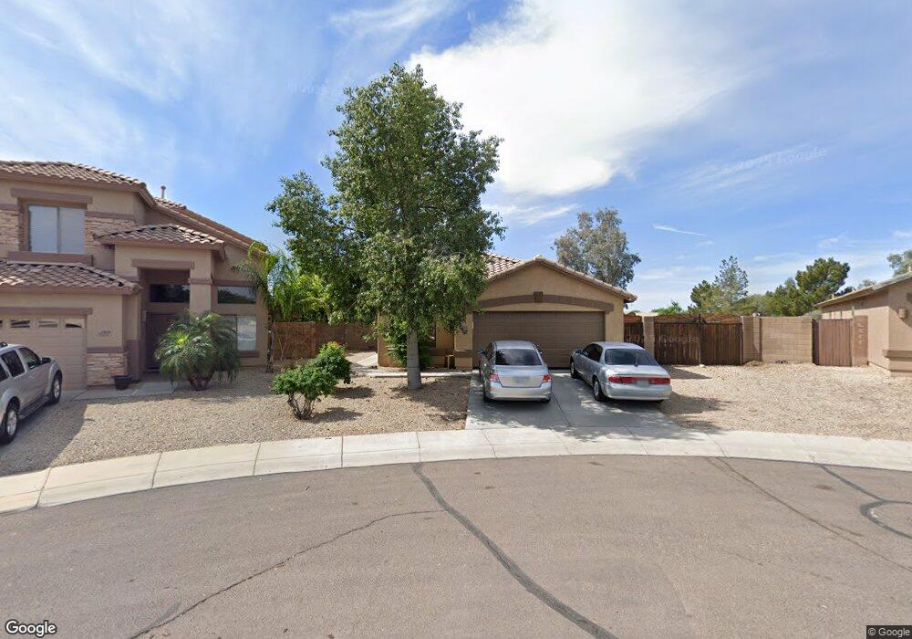
9363 W Harmony Ln Peoria, AZ 85382
Estimated Value: $401,197 - $468,000
--
Bed
2
Baths
1,634
Sq Ft
$271/Sq Ft
Est. Value
About This Home
This home is located at 9363 W Harmony Ln, Peoria, AZ 85382 and is currently estimated at $442,549, approximately $270 per square foot. 9363 W Harmony Ln is a home located in Maricopa County with nearby schools including Coyote Hills Elementary School, Sunrise Mountain High School, and Guidepost Montessori at Peoria.
Ownership History
Date
Name
Owned For
Owner Type
Purchase Details
Closed on
Jun 25, 2018
Sold by
Ohler Michael Lee
Bought by
Raymond Amanda
Current Estimated Value
Home Financials for this Owner
Home Financials are based on the most recent Mortgage that was taken out on this home.
Original Mortgage
$223,341
Outstanding Balance
$196,662
Interest Rate
5.25%
Mortgage Type
FHA
Estimated Equity
$245,887
Purchase Details
Closed on
Aug 5, 2010
Sold by
Ohler Tiffany Joy and Terri Ohler Tiffany
Bought by
Ohler Michael Lee
Purchase Details
Closed on
Apr 19, 2000
Sold by
First American Title Insurance Company
Bought by
Ohler Michael L and Ohler Tiffany J
Home Financials for this Owner
Home Financials are based on the most recent Mortgage that was taken out on this home.
Original Mortgage
$121,495
Interest Rate
8.25%
Mortgage Type
New Conventional
Create a Home Valuation Report for This Property
The Home Valuation Report is an in-depth analysis detailing your home's value as well as a comparison with similar homes in the area
Home Values in the Area
Average Home Value in this Area
Purchase History
| Date | Buyer | Sale Price | Title Company |
|---|---|---|---|
| Raymond Amanda | $250,000 | Fidelity National Title Agen | |
| Ohler Michael Lee | -- | None Available | |
| Ohler Michael L | $127,890 | First American Title |
Source: Public Records
Mortgage History
| Date | Status | Borrower | Loan Amount |
|---|---|---|---|
| Open | Raymond Amanda | $223,341 | |
| Previous Owner | Ohler Michael L | $121,495 |
Source: Public Records
Tax History Compared to Growth
Tax History
| Year | Tax Paid | Tax Assessment Tax Assessment Total Assessment is a certain percentage of the fair market value that is determined by local assessors to be the total taxable value of land and additions on the property. | Land | Improvement |
|---|---|---|---|---|
| 2025 | $1,647 | $20,657 | -- | -- |
| 2024 | $1,617 | $19,674 | -- | -- |
| 2023 | $1,617 | $32,970 | $6,590 | $26,380 |
| 2022 | $1,583 | $25,360 | $5,070 | $20,290 |
| 2021 | $1,691 | $23,280 | $4,650 | $18,630 |
| 2020 | $1,708 | $22,010 | $4,400 | $17,610 |
| 2019 | $1,655 | $20,110 | $4,020 | $16,090 |
| 2018 | $1,590 | $19,010 | $3,800 | $15,210 |
| 2017 | $1,592 | $17,420 | $3,480 | $13,940 |
| 2016 | $1,575 | $16,720 | $3,340 | $13,380 |
| 2015 | $1,470 | $16,220 | $3,240 | $12,980 |
Source: Public Records
Map
Nearby Homes
- 9341 W Albert Ln
- 9446 W Albert Ln
- 9541 W Frank Ave
- 9548 W Quail Ave
- 20681 N 93rd Ave
- 9529 W Runion Dr
- 20469 N 95th Dr
- 9574 W Quail Ave
- 9582 W Albert Ln
- 9250 W Runion Dr
- 9333 W Clara Ln
- 20961 N 96th Dr
- 9426 W Melinda Ln
- 9225 W Runion Dr
- 9148 W Lone Cactus Dr
- 20967 N 96th Ln
- 9031 W Adam Ave
- 20477 N 91st Dr
- 20424 N 96th Ln
- 20459 N 91st Dr
- 9359 W Harmony Ln
- 9370 W Deanna Dr
- 9355 W Harmony Ln
- 9366 W Deanna Dr
- 9351 W Harmony Ln
- 9365 W Deanna Dr
- 9360 W Deanna Dr
- 9359 W Deanna Dr
- 9348 W Harmony Ln
- 9355 W Deanna Dr
- 9339 W Harmony Ln
- 9344 W Harmony Ln
- 9469 W Deanna Dr
- 9335 W Harmony Ln
- 9442 W Ross Ave
- 9438 W Ross Ave
- 9446 W Ross Ave
- 9434 W Ross Ave
- 9450 W Ross Ave
- 9473 W Deanna Dr