9364 Chenowith Rd Middle Point, OH 45863
Studio
1
Bath
--
Sq Ft
2,969,964
Sq Ft Lot
About This Home
This home is located at 9364 Chenowith Rd, Middle Point, OH 45863. 9364 Chenowith Rd is a home located in Van Wert County with nearby schools including Lincolnview Elementary School and Lincolnview Junior/Senior High School.
Ownership History
Date
Name
Owned For
Owner Type
Purchase Details
Closed on
Sep 30, 2013
Sold by
Bonifas Daniel A and Bonifas Janet L
Bought by
Lape Johnathon C and Lape Amanda M
Home Financials for this Owner
Home Financials are based on the most recent Mortgage that was taken out on this home.
Original Mortgage
$74,800
Outstanding Balance
$47,105
Interest Rate
4.39%
Mortgage Type
Purchase Money Mortgage
Purchase Details
Closed on
Jan 30, 2013
Sold by
Etgen Raymond A and Lambert Geneva
Bought by
Bonifas Daniel A
Home Financials for this Owner
Home Financials are based on the most recent Mortgage that was taken out on this home.
Original Mortgage
$463,000
Outstanding Balance
$208,440
Interest Rate
3.34%
Mortgage Type
Future Advance Clause Open End Mortgage
Purchase Details
Closed on
Aug 8, 2005
Sold by
Lambert Geneva and Lambert Lonnie P
Bought by
Lambert Lonnie P and Lambert Geneva
Purchase Details
Closed on
Feb 5, 2002
Bought by
Bonifas Daniel A
Purchase Details
Closed on
Jan 23, 2001
Bought by
Chenowith Ridge Llc
Create a Home Valuation Report for This Property
The Home Valuation Report is an in-depth analysis detailing your home's value as well as a comparison with similar homes in the area
Purchase History
| Date | Buyer | Sale Price | Title Company |
|---|---|---|---|
| Lape Johnathon C | $88,000 | Attorney | |
| Bonifas Daniel A | $585,400 | Attorney | |
| Lambert Lonnie P | -- | None Available | |
| Bonifas Daniel A | $585,400 | -- | |
| Chenowith Ridge Llc | -- | -- |
Source: Public Records
Mortgage History
| Date | Status | Borrower | Loan Amount |
|---|---|---|---|
| Open | Lape Johnathon C | $74,800 | |
| Open | Bonifas Daniel A | $463,000 |
Source: Public Records
Tax History
| Year | Tax Paid | Tax Assessment Tax Assessment Total Assessment is a certain percentage of the fair market value that is determined by local assessors to be the total taxable value of land and additions on the property. | Land | Improvement |
|---|---|---|---|---|
| 2020 | $1,973 | $43,400 | $43,400 | $0 |
| 2019 | $2,986 | $69,080 | $69,080 | $0 |
| 2018 | $2,811 | $69,080 | $69,080 | $0 |
| 2017 | $2,948 | $69,080 | $69,080 | $0 |
| 2016 | $3,176 | $88,030 | $88,030 | $0 |
| 2015 | $3,029 | $88,030 | $88,030 | $0 |
| 2014 | $3,146 | $88,030 | $88,030 | $0 |
| 2013 | $2,434 | $66,130 | $45,930 | $20,200 |
Source: Public Records
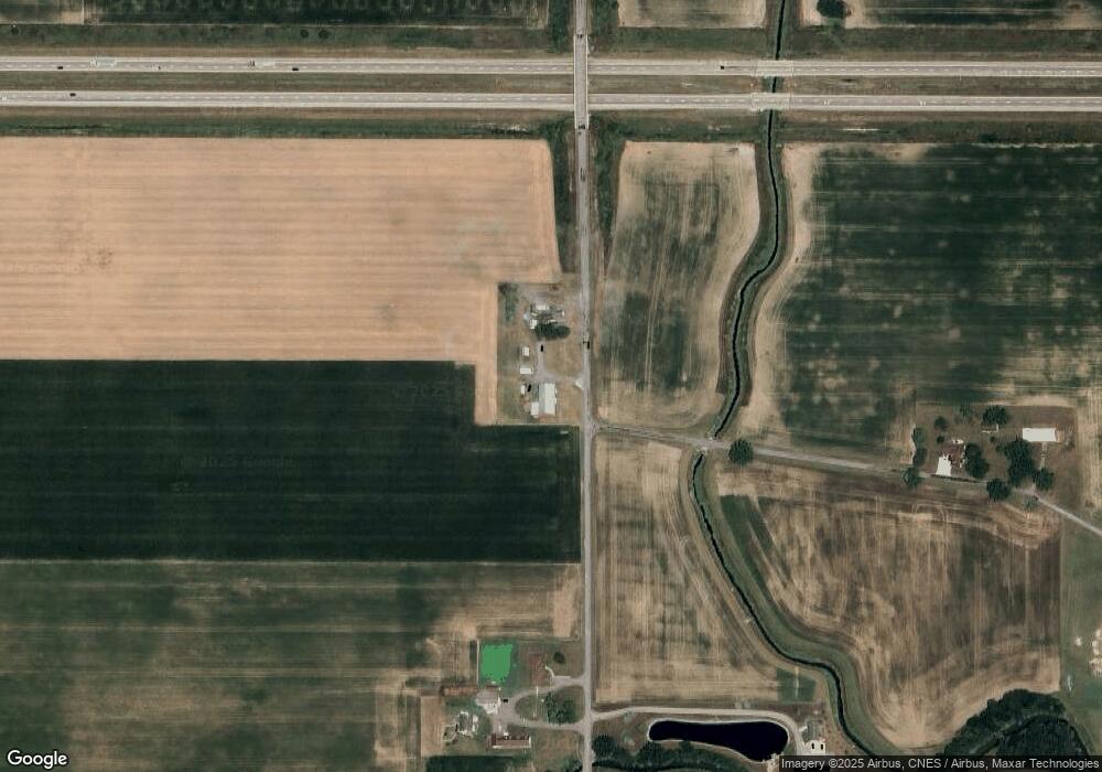
Map
Nearby Homes
- 9450 Gamble Rd
- 9750 Middle Point Rd
- 608 N Adams St
- TBD Mendon Rd
- 9750 Middle Point Rd
- 1109 Mendon Rd
- 19195 State Rd
- 1207 E Ervin Rd
- 300 S Wayne St
- 217 S Wayne St
- 215 S Vine St
- 224 S Franklin St
- 328 N Franklin St
- 780 Maplewood Dr
- 807 E Main St
- 205 N Chestnut St
- 1000 Merry Ln
- 529 S Tyler St
- 634 N Market St
- 692 N Market St
- 9560 Chenowith Rd
- 9575 Chenowith Rd
- 9582 Chenowith Rd
- 17685 Knittle Rd
- 9863 Chenowith Rd
- 9748 Ringwald Rd
- 8912 Chenowith Rd
- 9712 Ringwald Rd
- 18154 Knittle Rd
- 10089 Chenowith Rd
- 8989 Ringwald Rd
- 10113 Chenowith Rd
- 17122 Lincoln Hwy
- 10169 Chenowith Rd
- 10169 Chenowith Rd
- 18249 Knittle Rd
- 18250 Knittle Rd
- 9903 Ringwald Rd
- 10193 Chenowith Rd
Your Personal Tour Guide
Ask me questions while you tour the home.