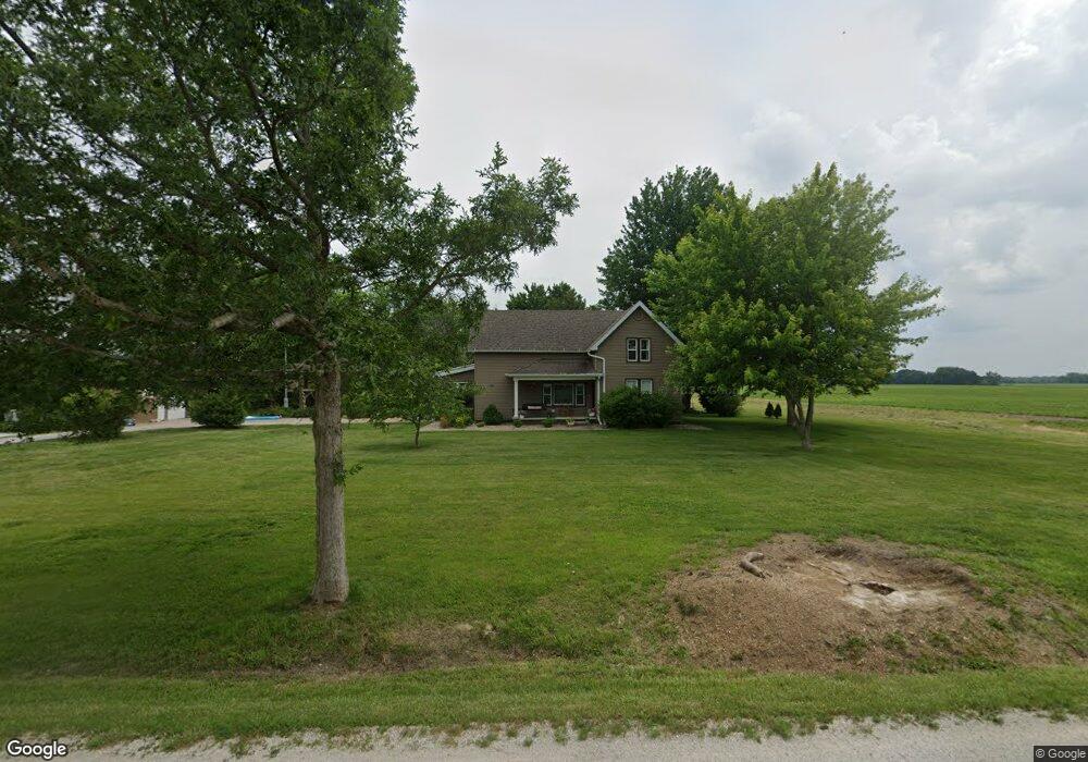
9365 N 950th Rd Macomb, IL 61455
Estimated Value: $236,942 - $282,000
Studio
--
Bath
--
Sq Ft
52,708
Sq Ft Lot
About This Home
This home is located at 9365 N 950th Rd, Macomb, IL 61455 and is currently estimated at $261,236. 9365 N 950th Rd is a home located in McDonough County with nearby schools including Lincoln Elementary School, Edison Elementary School, and Macomb Junior High School.
Ownership History
Date
Name
Owned For
Owner Type
Purchase Details
Closed on
Jun 13, 2018
Sold by
Bierman Matthew J and Bierman Stacy L
Bought by
Kinaman Brian J and Kinaman Carissa R
Current Estimated Value
Home Financials for this Owner
Home Financials are based on the most recent Mortgage that was taken out on this home.
Original Mortgage
$180,500
Outstanding Balance
$154,811
Interest Rate
4.6%
Mortgage Type
New Conventional
Estimated Equity
$106,425
Create a Home Valuation Report for This Property
The Home Valuation Report is an in-depth analysis detailing your home's value as well as a comparison with similar homes in the area
Purchase History
| Date | Buyer | Sale Price | Title Company |
|---|---|---|---|
| Kinaman Brian J | $190,000 | None Available |
Source: Public Records
Mortgage History
| Date | Status | Borrower | Loan Amount |
|---|---|---|---|
| Open | Kinaman Brian J | $180,500 |
Source: Public Records
Tax History
| Year | Tax Paid | Tax Assessment Tax Assessment Total Assessment is a certain percentage of the fair market value that is determined by local assessors to be the total taxable value of land and additions on the property. | Land | Improvement |
|---|---|---|---|---|
| 2024 | $5,898 | $68,449 | $2,799 | $65,650 |
| 2023 | $6,005 | $64,611 | $2,642 | $61,969 |
| 2022 | $5,446 | $61,231 | $2,504 | $58,727 |
| 2021 | $5,183 | $60,189 | $2,461 | $57,728 |
| 2020 | $5,074 | $61,590 | $2,419 | $59,171 |
| 2019 | $5,101 | $60,422 | $2,470 | $57,952 |
| 2018 | $2,086 | $29,213 | $2,539 | $26,674 |
| 2017 | $2,053 | $29,213 | $2,539 | $26,674 |
| 2016 | $1,959 | $28,640 | $2,489 | $26,151 |
| 2015 | $1,945 | $28,256 | $2,456 | $25,800 |
| 2014 | $1,808 | $28,256 | $2,456 | $25,800 |
| 2013 | $1,722 | $26,657 | $2,317 | $24,340 |
Source: Public Records
Map
Nearby Homes
- 000 E 950th St
- 10810 E 1000th St
- 1112 Stacy Ln
- 100 S Quail Walk Rd
- 130 Arlington Dr
- 105 Arlington Dr
- 50 Arlington Dr
- 215 Jamestown Rd
- 260 Jamestown Rd
- 2001 W Jackson St Unit C
- 310 Cathy St
- 1 Marty Ln
- 8510 N 1250th Rd
- 201 Evergreen Dr
- 820 W Mcdonough St
- 206 Meadow Dr
- 407 S Ward St
- 131 W Barsi Blvd
- 1500 W Adams Rd
- 101 W Barsi Blvd
- 9740 E 950th St
- 9520 N 990th Rd
- 9400 E 900th St
- 9560 N 990th Rd
- 9885 E 950th St
- 9860 E 950th St
- 9620 N 990th Rd
- 9620 County Road 990 N
- 9995 E 950th St
- 9628 N 990th Rd
- 9624 N 990th Rd
- 0000 E 950th St
- 9145 N 900th Rd
- 9720 N 990th Rd
- 9025 N 900th Rd
- 9824 N 990th Rd
- 9485 E 1000th St
- 8870 E 900th St
- 10210 E 950th St
- 8765 N 900th Rd
Your Personal Tour Guide
Ask me questions while you tour the home.