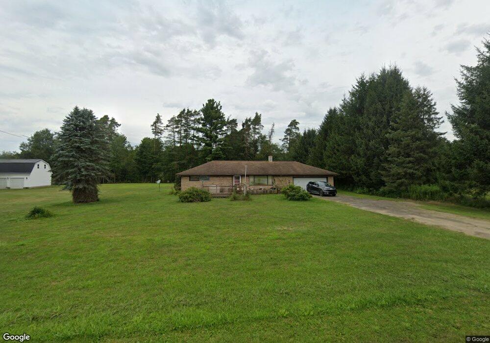
9366 Route 6 Union City, PA 16438
Estimated Value: $125,791 - $213,000
3
Beds
1
Bath
1,092
Sq Ft
$147/Sq Ft
Est. Value
About This Home
This home is located at 9366 Route 6, Union City, PA 16438 and is currently estimated at $160,198, approximately $146 per square foot. 9366 Route 6 is a home located in Erie County with nearby schools including Union City Elementary School, Union City Middle School, and Union City High School.
Ownership History
Date
Name
Owned For
Owner Type
Purchase Details
Closed on
Jun 15, 1998
Sold by
Landis Cathryn Anne
Bought by
Montour John C and Montour Colleen M
Current Estimated Value
Home Financials for this Owner
Home Financials are based on the most recent Mortgage that was taken out on this home.
Original Mortgage
$60,000
Interest Rate
7.11%
Create a Home Valuation Report for This Property
The Home Valuation Report is an in-depth analysis detailing your home's value as well as a comparison with similar homes in the area
Home Values in the Area
Average Home Value in this Area
Purchase History
| Date | Buyer | Sale Price | Title Company |
|---|---|---|---|
| Montour John C | $75,000 | -- |
Source: Public Records
Mortgage History
| Date | Status | Borrower | Loan Amount |
|---|---|---|---|
| Closed | Montour John C | $60,000 |
Source: Public Records
Tax History Compared to Growth
Tax History
| Year | Tax Paid | Tax Assessment Tax Assessment Total Assessment is a certain percentage of the fair market value that is determined by local assessors to be the total taxable value of land and additions on the property. | Land | Improvement |
|---|---|---|---|---|
| 2025 | $1,720 | $81,960 | $18,200 | $63,760 |
| 2024 | $1,679 | $81,960 | $18,200 | $63,760 |
| 2023 | $1,573 | $81,960 | $18,200 | $63,760 |
| 2022 | $1,531 | $81,960 | $18,200 | $63,760 |
| 2021 | $1,555 | $81,960 | $18,200 | $63,760 |
| 2020 | $1,502 | $81,960 | $18,200 | $63,760 |
| 2019 | $1,470 | $81,960 | $18,200 | $63,760 |
| 2018 | $1,456 | $81,960 | $18,200 | $63,760 |
| 2017 | $1,424 | $81,960 | $18,200 | $63,760 |
| 2016 | $1,543 | $81,960 | $18,200 | $63,760 |
| 2015 | $1,522 | $81,960 | $18,200 | $63,760 |
| 2014 | $890 | $81,960 | $18,200 | $63,760 |
Source: Public Records
Map
Nearby Homes
- 15900 Wattsburg-Union Rd
- 92 S Main St
- 108 S Main St
- Lot 1 Dobbs Rd
- LOT 4 Danner Dr & Lot 15 Linda Ln
- LOT 3 Danner Dr & Lot 14 Linda Ln
- LOT 1 Danner Dr & Lot 12 Linda Ln
- LOT 2 & 13 Danner Dr & Linda Ln
- 23 Center St
- 139 S Main St
- 10500 U S 6
- 11097 Route 6
- 11111 Nash Hill Rd
- 11320 Nash Hill Rd
- 0 Stewart Hill Rd
- 26215 Shreve Ridge Rd
- Lot 614 637 638 Weed Rd
- Lot 614, 637, & 638 Weed Rd
- 35979 Birch Ave
- 24530 Sandburg Dr