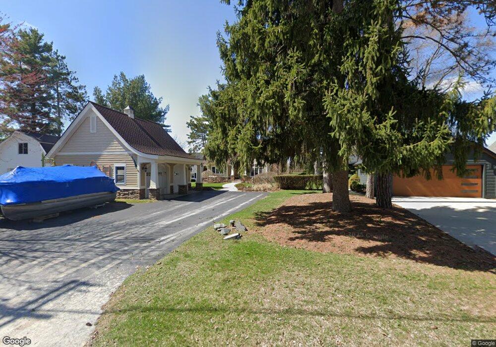
9366 Silverside South Lyon, MI 48178
Estimated Value: $502,800 - $578,000
3
Beds
2
Baths
1,500
Sq Ft
$364/Sq Ft
Est. Value
About This Home
This home is located at 9366 Silverside, South Lyon, MI 48178 and is currently estimated at $546,700, approximately $364 per square foot. 9366 Silverside is a home located in Livingston County with nearby schools including William A. Brummer Elementary School, Centennial Middle School, and South Lyon High School.
Ownership History
Date
Name
Owned For
Owner Type
Purchase Details
Closed on
Feb 17, 2026
Sold by
Tijan Michael E
Bought by
Tijan Michael E and Michael E Tijan Trust
Current Estimated Value
Purchase Details
Closed on
Jan 15, 2014
Sold by
Tijan Shannon L
Bought by
Tijan Michael E
Purchase Details
Closed on
Dec 18, 1998
Sold by
Kendall William B and Kendall William Bradshaw
Bought by
Tijan Michael E and Tijan Shannon L
Home Financials for this Owner
Home Financials are based on the most recent Mortgage that was taken out on this home.
Original Mortgage
$200,000
Interest Rate
6.83%
Create a Home Valuation Report for This Property
The Home Valuation Report is an in-depth analysis detailing your home's value as well as a comparison with similar homes in the area
Home Values in the Area
Average Home Value in this Area
Purchase History
| Date | Buyer | Sale Price | Title Company |
|---|---|---|---|
| Tijan Michael E | -- | None Listed On Document | |
| Tijan Michael E | -- | -- | |
| Tijan Michael E | $325,000 | American Title Co |
Source: Public Records
Mortgage History
| Date | Status | Borrower | Loan Amount |
|---|---|---|---|
| Previous Owner | Tijan Michael E | $200,000 |
Source: Public Records
Tax History
| Year | Tax Paid | Tax Assessment Tax Assessment Total Assessment is a certain percentage of the fair market value that is determined by local assessors to be the total taxable value of land and additions on the property. | Land | Improvement |
|---|---|---|---|---|
| 2025 | $4,246 | $253,300 | $0 | $0 |
| 2024 | $4,098 | $246,000 | $0 | $0 |
| 2023 | $3,909 | $214,400 | $0 | $0 |
| 2022 | $4,968 | $196,200 | $0 | $0 |
| 2021 | $4,968 | $207,100 | $0 | $0 |
| 2020 | $4,943 | $210,900 | $0 | $0 |
| 2019 | $4,991 | $196,200 | $0 | $0 |
| 2018 | $4,923 | $205,500 | $0 | $0 |
| 2017 | $5,001 | $211,600 | $0 | $0 |
| 2016 | $5,074 | $185,200 | $0 | $0 |
| 2014 | $4,607 | $172,600 | $0 | $0 |
| 2012 | $4,607 | $156,500 | $0 | $0 |
Source: Public Records
Map
Nearby Homes
- 12192 Doane Rd
- 11108 Silver Lake Rd
- 11869 Shenandoah Dr Unit 4
- 11783 Shenandoah Dr Unit 1
- 12132 Lexington Dr Unit 2
- 12116 Shenandoah Dr
- 9780 Cambridge Ct Unit 3
- 10696 Parker Ct
- 12113 Lexington Dr
- 12123 Kirby Ln
- 11849 Four Lakes Dr
- 0000 Stoney Point Unit 5
- 12355 Nantucket Dr
- 8126 Carston Ln
- 48 Loretta Ln Unit 48
- 12063 Kirby Ln
- 12459 Janes Landing Unit 41
- 12088 Pinebrook Ln
- 10537 Oak Forest Dr
- 10512 Oak Forest Dr
- 9362 Silverside
- 9368 Silverside
- 9370 Silverside
- 9358 Silverside
- 9382 Silverside
- 9350 Silverside
- 9354 Silverside
- 9386 Silverside
- 9346 Silverside
- 9390 Silverside
- 9394 Silverside
- 9398 Silverside
- 9342 Silverside
- 9338 Silverside
- 11400 Sumpter Rd
- 11434 Sumpter Rd
- 9406 Silverside
- 11467 Sumpter Rd
- 11493 Sumpter Rd
- 9334 Silverside
Your Personal Tour Guide
Ask me questions while you tour the home.