9367 Table Rock Rd Central Point, OR 97502
Estimated Value: $456,634
--
Bed
--
Bath
2,140
Sq Ft
$213/Sq Ft
Est. Value
About This Home
This home is located at 9367 Table Rock Rd, Central Point, OR 97502 and is currently estimated at $456,634, approximately $213 per square foot. 9367 Table Rock Rd is a home located in Jackson County with nearby schools including Sams Valley Elementary School, Hanby Middle School, and Crater High School.
Ownership History
Date
Name
Owned For
Owner Type
Purchase Details
Closed on
Nov 8, 2024
Sold by
Mundy Living Trust and Mundy David
Bought by
Lee Jane
Current Estimated Value
Purchase Details
Closed on
Feb 23, 2023
Sold by
Mundy David
Bought by
Mundy Living Trust
Purchase Details
Closed on
Jan 5, 2005
Sold by
Mundy David L and Talbott Audrey S
Bought by
Mundy David L
Home Financials for this Owner
Home Financials are based on the most recent Mortgage that was taken out on this home.
Original Mortgage
$210,000
Interest Rate
5.7%
Mortgage Type
Commercial
Purchase Details
Closed on
May 8, 2001
Sold by
Mccallum Douglas A
Bought by
Mundy David L and Mundy Audrey S
Home Financials for this Owner
Home Financials are based on the most recent Mortgage that was taken out on this home.
Original Mortgage
$150,000
Interest Rate
6.89%
Mortgage Type
Seller Take Back
Create a Home Valuation Report for This Property
The Home Valuation Report is an in-depth analysis detailing your home's value as well as a comparison with similar homes in the area
Home Values in the Area
Average Home Value in this Area
Purchase History
| Date | Buyer | Sale Price | Title Company |
|---|---|---|---|
| Lee Jane | $450,000 | Ticor Title | |
| Mundy Living Trust | -- | -- | |
| Mundy David L | $50,000 | Lawyers Title Ins | |
| Mundy David L | $165,000 | Key Title Company |
Source: Public Records
Mortgage History
| Date | Status | Borrower | Loan Amount |
|---|---|---|---|
| Previous Owner | Mundy David L | $210,000 | |
| Previous Owner | Mundy David L | $150,000 |
Source: Public Records
Tax History Compared to Growth
Tax History
| Year | Tax Paid | Tax Assessment Tax Assessment Total Assessment is a certain percentage of the fair market value that is determined by local assessors to be the total taxable value of land and additions on the property. | Land | Improvement |
|---|---|---|---|---|
| 2025 | $2,665 | $222,280 | $66,540 | $155,740 |
| 2024 | $2,665 | $215,810 | $64,600 | $151,210 |
| 2023 | $2,576 | $209,530 | $62,720 | $146,810 |
| 2022 | $2,521 | $209,530 | $62,720 | $146,810 |
| 2021 | $2,450 | $203,430 | $60,890 | $142,540 |
| 2020 | $2,051 | $170,340 | $59,120 | $111,220 |
| 2019 | $2,004 | $160,570 | $55,730 | $104,840 |
| 2018 | $1,816 | $138,070 | $70,230 | $67,840 |
| 2017 | $1,691 | $138,070 | $70,230 | $67,840 |
| 2016 | $1,658 | $135,340 | $67,550 | $67,790 |
| 2015 | $1,679 | $138,160 | $68,940 | $69,220 |
| 2014 | $1,688 | $138,160 | $68,940 | $69,220 |
Source: Public Records
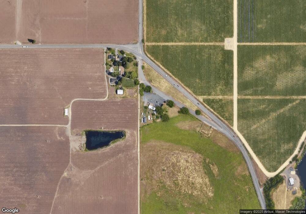
Map
Nearby Homes
- 6850 Downing Rd Unit 44
- 6850 Downing Rd Unit 65
- 644 Raven
- 10695 Killdee Ave
- 10695 Kildee Ave
- 12214 Modoc Rd
- 1729 E Gregory Rd
- 12240 Modoc Rd Unit A
- 12240 Modoc Rd Unit B
- 12240 Modoc Rd Unit C
- 7967 Ajax St
- 700 Rogue Wood Dr
- 2618 Carr St
- 1000 Juliet St
- 2507 Agate Meadows
- 3026 Avenue G
- 2549 Falcon St
- 2909 Ingalls Dr
- 3388 McMartin Ln
- 2669 Falcon St
- 9329 Table Rock Rd
- 9445 Table Rock Rd
- 9463 Modoc Rd
- 8965 Table Rock Rd
- 9884 Table Rock Rd
- 9906 Table Rock Rd
- 9969 Table Rock Rd
- 10004 Table Rock Rd
- 9328 Pumice Ln
- 9354 Pumice Ln
- 9305 Pumice Ln
- 9452 Pumice Ln
- 8700 Table Rock Rd
- 10083 Table Rock Rd
- 9363 Pumice Ln
- 9486 Pumice Ln
- 9397 Pumice Ln
- 10105 Table Rock Rd
- 9467 Pumice Ln
- 9536 Pumice Ln