93670 Empire Ln Coos Bay, OR 97420
Estimated Value: $410,493 - $614,000
4
Beds
2
Baths
3,205
Sq Ft
$160/Sq Ft
Est. Value
About This Home
This home is located at 93670 Empire Ln, Coos Bay, OR 97420 and is currently estimated at $512,247, approximately $159 per square foot. 93670 Empire Ln is a home located in Coos County with nearby schools including Eastside School, Millicoma School, and Marshfield Senior High School.
Ownership History
Date
Name
Owned For
Owner Type
Purchase Details
Closed on
Sep 1, 2016
Sold by
Tobiska Cindy Ann
Bought by
Mander John D and Mander Natalie A
Current Estimated Value
Home Financials for this Owner
Home Financials are based on the most recent Mortgage that was taken out on this home.
Original Mortgage
$233,689
Outstanding Balance
$187,081
Interest Rate
3.5%
Mortgage Type
FHA
Estimated Equity
$325,166
Create a Home Valuation Report for This Property
The Home Valuation Report is an in-depth analysis detailing your home's value as well as a comparison with similar homes in the area
Home Values in the Area
Average Home Value in this Area
Purchase History
| Date | Buyer | Sale Price | Title Company |
|---|---|---|---|
| Mander John D | $238,000 | Ticor Title Company |
Source: Public Records
Mortgage History
| Date | Status | Borrower | Loan Amount |
|---|---|---|---|
| Open | Mander John D | $233,689 |
Source: Public Records
Tax History Compared to Growth
Tax History
| Year | Tax Paid | Tax Assessment Tax Assessment Total Assessment is a certain percentage of the fair market value that is determined by local assessors to be the total taxable value of land and additions on the property. | Land | Improvement |
|---|---|---|---|---|
| 2024 | $3,729 | $271,130 | -- | -- |
| 2023 | $3,617 | $263,240 | $0 | $0 |
| 2022 | $3,571 | $255,580 | $0 | $0 |
| 2021 | $3,416 | $248,140 | $0 | $0 |
| 2020 | $3,325 | $248,140 | $0 | $0 |
| 2019 | $3,673 | $233,910 | $0 | $0 |
| 2018 | $4,002 | $227,100 | $0 | $0 |
| 2017 | $2,655 | $220,490 | $0 | $0 |
| 2016 | $2,558 | $214,070 | $0 | $0 |
| 2015 | $2,306 | $207,840 | $0 | $0 |
| 2014 | $2,306 | $201,790 | $0 | $0 |
Source: Public Records
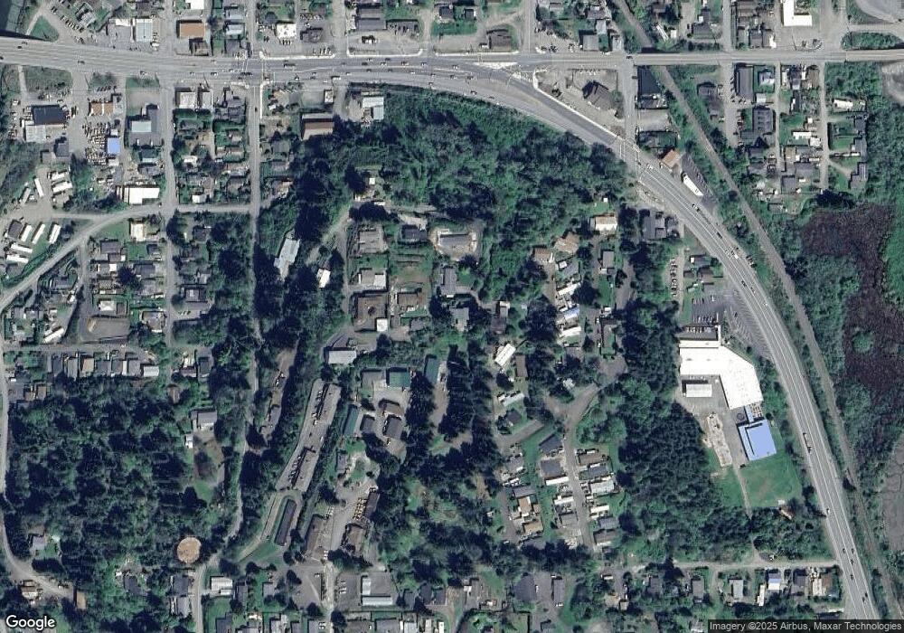
Map
Nearby Homes
- 63642 Flanagan Rd
- 63755 Flanagan Rd
- 63757 Harriet Rd
- 0 Flanagan Rd
- 63533 Flanagan Rd
- 0 Andrews Rd Unit 1 633770545
- 0 Andrews Rd
- 63491 2nd Street Loop
- 93711 Bay Park Ln
- 63606 Andrews Rd
- 63505 2nd Street Loop
- 93778 Bay Park Ln
- 63474 3rd Rd
- 0 Miriam Unit 740433342
- 1032 S 4th St
- 532 Limnell St
- 93746 Lorain Ln
- 0 Ingersoll Ave
- 63232 Flanasgan Rd Unit LotWP001
- 93195 Coal Bank Ln
- 93666 Empire Ln
- 63637 Ahill Rd
- 93668 Empire Ln
- 63653 Paramount Dr
- 63635 Ahill Rd
- 93664 Empire Ln
- 63651 Paramount Dr
- 63655 Ahill Rd
- 63643 Paramount Way
- 63667 Ahill Rd
- 93650 Empire Ln
- 63663 Clear View Dr
- 63639 Paramount Dr
- 63689 Ahill Rd
- 63659 Clear View Dr
- 63671 Clear View Dr
- 63681 Clear View Dr
- 63649 Clear View Dr
- 63679 Clear View Dr
- 63654 Ahill Rd