937 Amundsen Dr Unit C Canal Fulton, OH 44614
Estimated Value: $286,000 - $324,000
2
Beds
2
Baths
1,596
Sq Ft
$193/Sq Ft
Est. Value
About This Home
This home is located at 937 Amundsen Dr Unit C, Canal Fulton, OH 44614 and is currently estimated at $307,783, approximately $192 per square foot. 937 Amundsen Dr Unit C is a home located in Stark County with nearby schools including W.S. Stinson Elementary School, Northwest Primary School, and Northwest Middle School.
Ownership History
Date
Name
Owned For
Owner Type
Purchase Details
Closed on
Sep 18, 2009
Sold by
Overholt Rosemarie and Overholt Jack F
Bought by
Zidar Stanley and Zidar Nadine
Current Estimated Value
Home Financials for this Owner
Home Financials are based on the most recent Mortgage that was taken out on this home.
Original Mortgage
$115,920
Interest Rate
5.38%
Mortgage Type
New Conventional
Purchase Details
Closed on
Feb 7, 2007
Sold by
Schalmo Builders Inc
Bought by
Overholt Rosemarie
Home Financials for this Owner
Home Financials are based on the most recent Mortgage that was taken out on this home.
Original Mortgage
$136,000
Interest Rate
6.27%
Mortgage Type
Purchase Money Mortgage
Create a Home Valuation Report for This Property
The Home Valuation Report is an in-depth analysis detailing your home's value as well as a comparison with similar homes in the area
Home Values in the Area
Average Home Value in this Area
Purchase History
| Date | Buyer | Sale Price | Title Company |
|---|---|---|---|
| Zidar Stanley | $144,900 | Attorney | |
| Overholt Rosemarie | $170,500 | None Available |
Source: Public Records
Mortgage History
| Date | Status | Borrower | Loan Amount |
|---|---|---|---|
| Previous Owner | Zidar Stanley | $115,920 | |
| Previous Owner | Overholt Rosemarie | $136,000 |
Source: Public Records
Tax History Compared to Growth
Tax History
| Year | Tax Paid | Tax Assessment Tax Assessment Total Assessment is a certain percentage of the fair market value that is determined by local assessors to be the total taxable value of land and additions on the property. | Land | Improvement |
|---|---|---|---|---|
| 2025 | -- | $87,470 | $14,770 | $72,700 |
| 2024 | -- | $87,470 | $14,770 | $72,700 |
| 2023 | $2,509 | $74,520 | $11,380 | $63,140 |
| 2022 | $2,547 | $74,520 | $11,380 | $63,140 |
| 2021 | $2,555 | $74,520 | $11,380 | $63,140 |
| 2020 | $1,999 | $57,160 | $8,820 | $48,340 |
| 2019 | $2,022 | $57,160 | $8,820 | $48,340 |
| 2018 | $2,443 | $57,160 | $8,820 | $48,340 |
| 2017 | $2,166 | $48,550 | $6,230 | $42,320 |
| 2016 | $2,189 | $48,550 | $6,230 | $42,320 |
| 2015 | $2,147 | $48,550 | $6,230 | $42,320 |
| 2014 | $270 | $47,950 | $6,160 | $41,790 |
| 2013 | $1,145 | $47,950 | $6,160 | $41,790 |
Source: Public Records
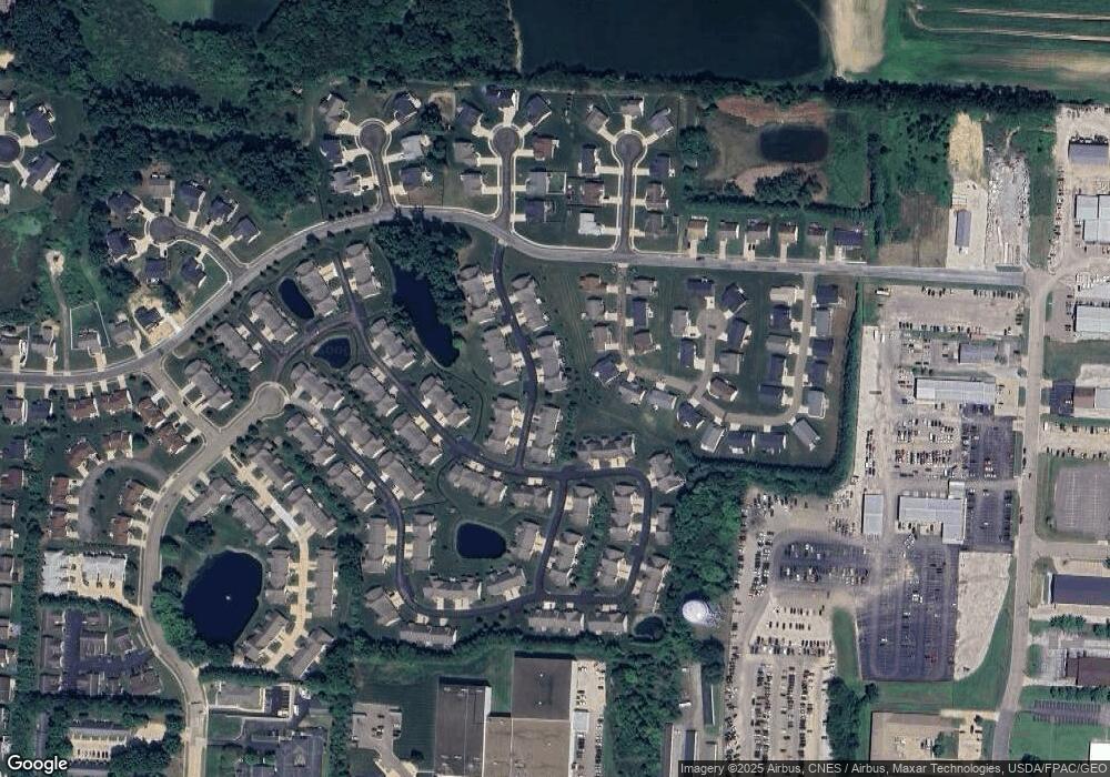
Map
Nearby Homes
- 919 Baffin Dr
- 963 Saint Brendan Dr
- 915 Shackleton Dr
- 2101 Livingston Dr
- 782 Beverly Ave
- 1808 Pauli St
- 764 Chris Cir
- 1719 Bruce St
- 707 Parkview Ave
- 872 Sandlewood Dr NW
- 837 Tamwood Dr
- 12347 Stover Farm Dr NW
- S/L 32 Lakewood Dr E
- S/L 27 Lakewood Dr E
- 539 E Lakewood Dr
- 537 E Lakewood Dr
- 542 E Lakewood Dr
- Ballenger w/ Basement Plan at Heritage Village
- Allegheny w/ Basement Plan at Heritage Village
- Hudson w/ Basement Plan at Heritage Village
- 937 Amundsen Dr
- 941 Amundsen Dr
- 945 Amundsen Dr Unit C
- 936 Amundsen Dr
- 933 Amundsen Dr
- 940 Amundsen Dr
- 949 Amundsen Dr
- 932 Amundsen Dr
- 950 Cabot Dr
- 954 Cabot Dr
- 929 Amundsen Dr
- 944 Amundsen Dr
- 942 Cabot Dr
- 928 Amundsen Dr
- 953 Amundsen Dr
- 958 Cabot Dr
- 925 Amundsen Dr
- 925 Amundson Dr Unit C
- 946 Cabot Dr
- V/L Cabot Dr